Edgewater in Anne Arundel County, Maryland — The American Northeast (Mid-Atlantic)
The Almshouse
An Abode of Mysery
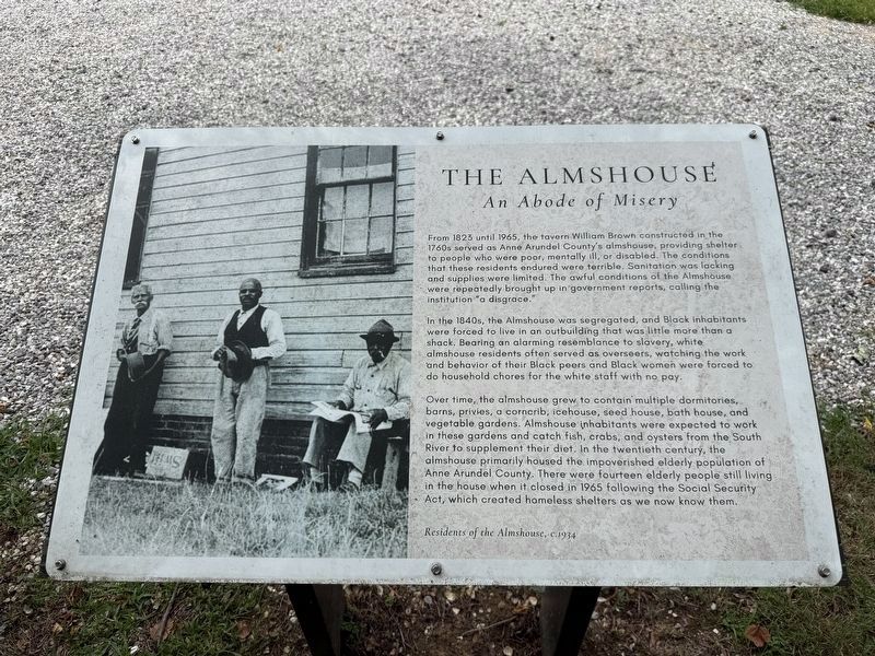
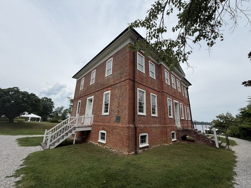
From 1823 until 1965, the tavern William Brown constructed in the 1760s served as Anne Arundel County's almshouse, providing shelter to people who were poor, mentally ill, or disabled. The conditions that these residents endured were terrible. Sanitation was lacking and supplies were limited. The awful conditions of the Almshouse were repeatedly brought up in government reports, calling the institution "a disgrace."
In the 1840s, the Almshouse was segregated, and Black inhabitants were forced to live in an outbuilding that was little more than a shack. Bearing an alarming resemblance to slavery, white almshouse residents often served as overseers, watching the work and behavior of their Black peers and Black women were forced to do household chores for white staff with no pay.
Over time, the almshouse grew to contain multiple dormitories, barns, privies, a corncrib, icehouse, seed house, bath house, and vegetable gardens. Almshouse inhabitants were expected to work in these gardens and catch fish, crabs, and oysters from the South River to supplement their diet. In the twentieth century, the almshouse primarily
this page online
[Caption:]
Residents of the Almshouse, c. 1934
Erected by Historic London Town and Gardens.
Topics. This historical marker is listed in these topic lists: African Americans • Agriculture • Law Enforcement. A significant historical year for this entry is 1823.
Location. 38° 56.476′ N, 76° 32.379′ W. Marker is in Edgewater, Maryland, in Anne Arundel County. It can be reached from Londontown Road west of Londontown Court, on the right when traveling west. Touch for map. Marker is at or near this postal address: 839 Londontown Rd, Edgewater MD 21037, United States of America. Touch for directions.

Regionally, this marker is in Central Maryland. It is also in the American Mid-Atlantic, in the Chesapeake Bay Region, and on the Eastern Seaboard. Globally, it is in the North Atlantic Region, North America, the Western Hemisphere, the Western World, and the Anglosphere. Historically,
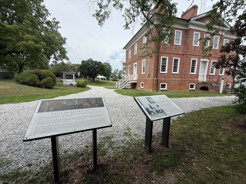
Other nearby markers. At least 8 other markers are within walking distance of this marker: A different marker also named William Brown House (here, next to this marker); Scott Street (a few steps from this marker); Slavery at London Town (within shouting distance of this marker); The South River (within shouting distance of this marker); The Carpenter's Shop (within shouting distance of this marker); London Town Ferry (within shouting distance of this marker); Tobacco Barn (within shouting distance of this marker); Welcome to London Town (about 300 feet away, measured in a direct line). Touch for a list and map of all markers in Edgewater.
Other markers no longer nearby. William Brown House (was here, next to this marker but has been replaced with another marker now near it); Archaeology at London Town (was a few steps from this marker but has been replaced with another marker now near it); Establishing a Colonial Town (was a few steps from this marker but has been replaced with another marker now near it); Dr. Hill's Medicinal Plants
Additional keywords. enslaved labor
Credits. This page was last revised on August 2, 2026. It was originally submitted on August 2, 2026, by Devry Becker Jones of Washington, District of Columbia. This page has been viewed 7 times since then. Photos: 1, 2. submitted on August 2, 2026, by Devry Becker Jones of Washington, District of Columbia. 3. submitted on August 1, 2026, by Devry Becker Jones of Washington, District of Columbia.
