Eliska in Monroe County, Alabama — The American South (East South Central)
Cedar Hill/English Cemetery
Monroe County
Photographed by Jimmy Emerson, July 29, 2026
1. Cedar Hill/English Cemetery Marker
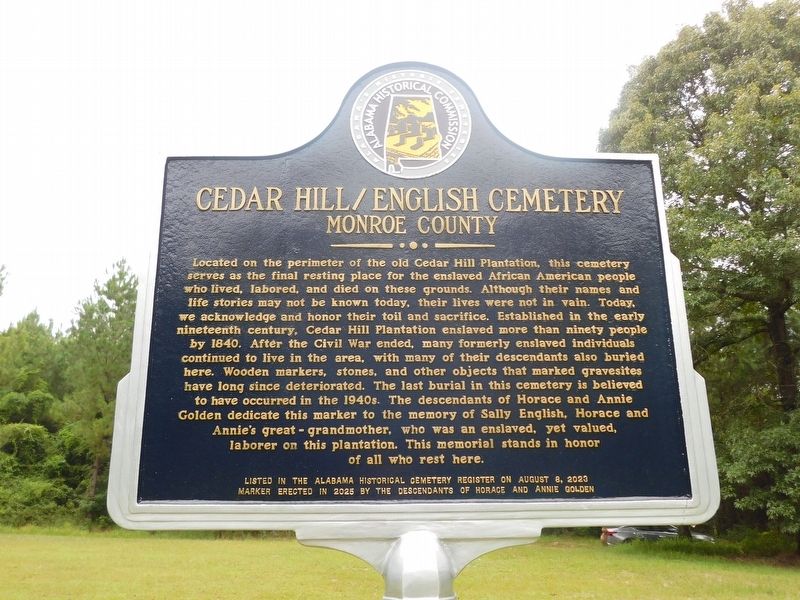
Located on the perimeter of the old Cedar Hill Plantation, this cemetery serves as the final resting place for the enslaved African American people who lived, labored, and died on these grounds. Although their names and life stories may not be known today, their lives were not in vain. Today, we acknowledge and honor their toil and sacrifice. Established in the early nineteenth century, Cedar Hill Plantation enslaved more than ninety people by 1840. After the Civil War ended, many formerly enslaved individuals continued to live in the area, with many of their descendants also buried here. Wooden markers, stones, and other objects that marked gravesites have long since deteriorated. The last burial in this cemetery is believed to have occurred in the 1940s. The descendants of Horace and Annie Golden dedicate this marker to the memory of Sally English, Horace and Annie's great-grandmother, who was an enslaved, yet valued, laborer on this plantation. This memorial stands in honor of all who rest here.
Erected 2026 by Descendants of Horace and Annie
this page online
Topics. This historical marker is listed in these topic lists: African Americans • Cemeteries & Burial Sites • War, US Civil. A significant historical year for this entry is 1840.
Location. 31° 23.093′ N, 87° 39.665′ W. Marker is in Eliska, Alabama, in Monroe County. It can be reached from Armstead Road west of Cowford Road, on the left when traveling west. Located on private land.. Touch for map. Marker is at or near this postal address: 270 Armstead Rd, Uriah AL 36480, United States of America. Touch for directions.

Regionally, this marker is in the American South and specifically in the Deep South. Globally, it is in North America, a Gulf of Mexico state, the Western Hemisphere, the Western World, and the Anglosphere. Historically, it finds itself in what was once New Spain, the territory of the Mississippian Culture, one of the Confederate States of America, and the Antebellum South.
Other nearby markers. At least 8 other markers are within 11 miles of this marker, measured as the crow flies: Mt. Pleasant Methodist Church (approx. 2.6 miles away); The Canoe Fight

Photographed by Jimmy Emerson, July 29, 2026
2. Cedar Hill/English Cemetery & Marker
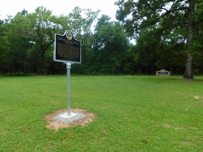
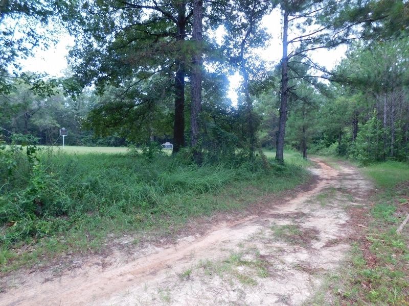
More about this marker. The marker is on private land. The owners, that live at 270 Armstead Road, ask that you stop to ask for permission to visit, which they will gladly provide and give you directions. It was dedicated February 28, 2026.
Also see . . . Alabama Historic Cemetery Register Application. (Submitted on July 30, 2026, by Jimmy Emerson of Dalton, Georgia.)
Photographed by Jimmy Emerson, July 29, 2026
3. Cedar Hill/English Cemetery & Marker
Photographed by Jimmy Emerson, July 29, 2026
4. Cedar Hill/English Cemetery & Marker
Credits. This page was last revised on August 3, 2026. It was originally submitted on July 30, 2026, by Jimmy Emerson of Dalton, Georgia. This page has been viewed 24 times since then. Last updated on August 2, 2026, by Jimmy Emerson of Dalton, Georgia. Photos: 1, 2, 3, 4. submitted on July 30, 2026, by Jimmy Emerson of Dalton, Georgia. • Devry Becker Jones was the editor who published this page.
