Fort Knox in Hardin County, Kentucky — The American South (East South Central)
M24 Chaffee
Light Tank, M24
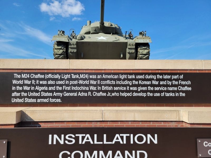
Photographed by Kevin W., August 26, 2024
1. M24 Chaffee Marker
Topics. This historical marker is listed in these topic lists: Roads & Vehicles • War, Korean • War, World II • Wars, Non-US.
Location. 37° 53.05′ N, 85° 57.68′ W. Marker is in Fort Knox, Kentucky, in Hardin County. It is on Bullion Boulevard half a mile north of North Dixie Road (Kentucky Route 31), in the median. Touch for map. Marker is in this post office area: Fort Knox KY 40121, United States of America. Touch for directions.

Regionally, this marker is in the American South and specifically in the Upper South. Globally, it is in North America, the Western Hemisphere, the Western World, and the Anglosphere.
this page online
Other nearby markers. At least 8 other markers are within walking distance of this marker: Camp Knox (within shouting distance of this marker); Main Post Chapel (approx. 0.6 miles away); Post Cemetery (approx. 0.7 miles away); St. Patrick's Cemetery (approx. ¾ mile away); U.S. Army Defenders of Freedom Memorial (approx. ¾ mile away); Stithton, Kentucky (approx. 0.8 miles away); US Army Armor Center (approx. 0.9 miles away); Visitor's House (approx. one mile away). Touch for a list and map of all markers in Fort Knox.
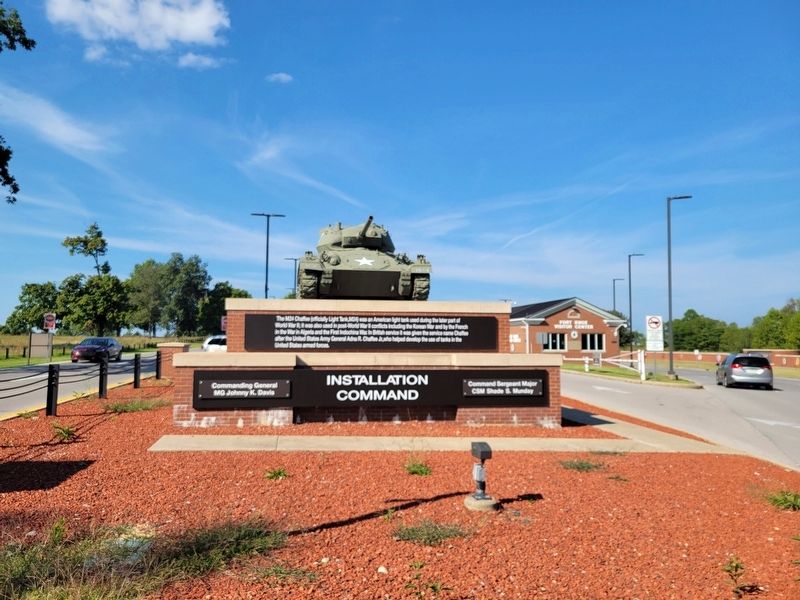
Photographed by Kevin W., August 26, 2024
2. M24 Chaffee Marker
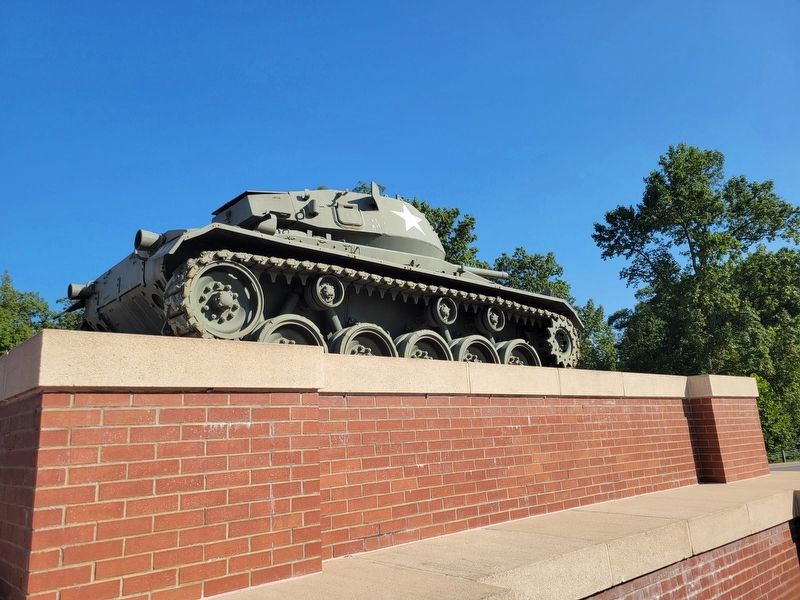
Photographed by Kevin W., August 26, 2024
3. M24 Chaffee Marker
Credits. This page was last revised on August 2, 2026. It was originally submitted on August 2, 2026, by Kevin W. of Stafford, Virginia. This page has been viewed 10 times since then. Photos: 1, 2, 3. submitted on August 2, 2026, by Kevin W. of Stafford, Virginia.
