Lusby in Calvert County, Maryland — The American Northeast (Mid-Atlantic)
Calvert Cliffs
⎯⎯⎯
Cove Point LNG Platform
⎯⎯⎯
Chesapeake Bay
Photographed by Devry Becker Jones (CC0), August 1, 2026
1. Calvert Cliffs / Cove Point LNG Platform / Chesapeake Bay Marker
Calvert Cliffs
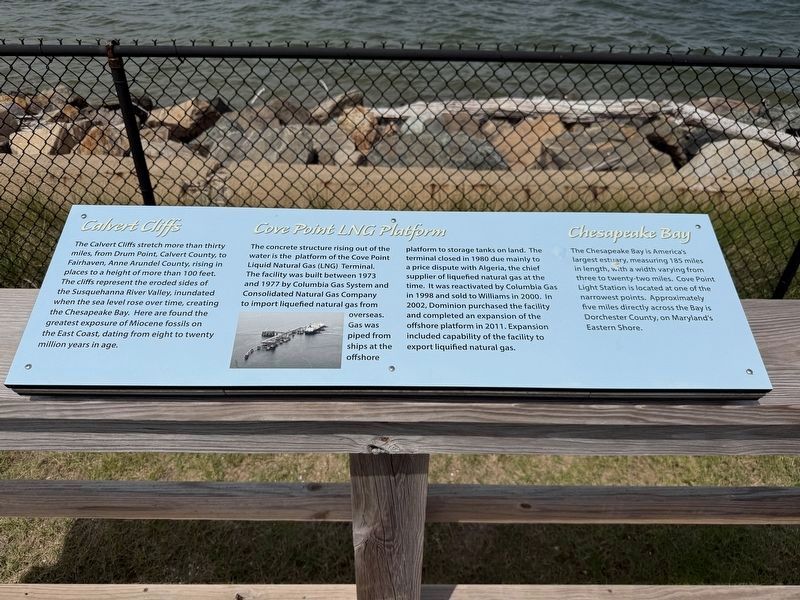
The Calvert Cliffs stretch more than thirty miles, from Drum Point, Calvert County, to Fairhaven, Anne Arundel County, rising in places to a height of more than 100 feet. The cliffs represent the eroded sides of the Susquehanna River Valley, inundated when the sea level rose over time, creating the Chesapeake Bay. Here are found the greatest exposure of Miocene fossils on the East Coast, dating from eight to twenty million years in age.
Cove Point LNG Platform
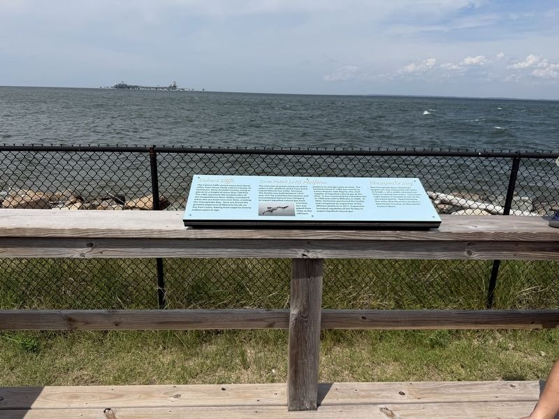
The concrete structure rising out of the water is the platform of the Cove Point Liquid Natural Gas (LNG) Terminal. The facility was guilt between 1973 and 1977 by Columbia Gas System and Consolidated Natural Gas Company to import liquefied natural gas from overseas. Gas was piped from ships at the offshore platform to storage tanks on land. The terminal closed in 1980 due mainly to a price dispute with Algeria, the chief supplier of liquefied natural gas at the time. It was reactivated by Columbia Gas in 1998 and sold to Williams in 2000. In 2002, Dominion purchased the facility and completed an expansion of the offshore platform in 2011. Expansion
this page online
Chesapeake Bay,br> The Chesapeake Bay is America's largest estuary, measuring 185 miles in length, with a width varying from three to twenty-two miles. Cove Point Light Station is located at one of the narrowest points. Approximately five miles directly across the Bay is Dorchester County, on Maryland's Eastern Shore.
Topics and series. This historical marker is listed in these topic lists: Industry & Commerce • Natural Features • Natural Resources • Waterways & Vessels. In addition, it is included in the Lighthouses series list. A significant historical year for this entry is 1973.
Location. 38° 23.183′ N, 76° 22.929′ W. Marker is in Lusby, Maryland, in Calvert County. It is on Lighthouse Boulevard east of Hemlock Drive, on the left when traveling east. Touch for map. Marker is at or near this postal address: 3500 Lighthouse Blvd, Lusby MD 20657, United States of America. Touch for directions.

Regionally, this marker is in Southern Maryland. It is also in the American South, specifically in the Upper South, in the Mid-Atlantic, in the Tidewater,
Photographed by Devry Becker Jones (CC0), August 1, 2026
2. Calvert Cliffs / Cove Point LNG Platform / Chesapeake Bay Marker
Other nearby markers. At least 8 other markers are within walking distance of this marker: Keeper's Residence (within shouting distance of this marker); Lighthouse (within shouting distance of this marker); Cove Point Beach (within shouting distance of this marker); 1901 Fog Signal Building (within shouting distance of this marker); Enlisted Quarters (within shouting distance of this marker); Maritime Exchange Tower (within shouting distance of this marker); Generator/Fog Signal Building (within shouting distance of this marker); a different marker also named Generator/Fog Signal Building (within shouting distance of this marker). Touch for a list and map of all markers in Lusby.
Photographed by Devry Becker Jones (CC0), August 1, 2026
3. Nearby Purple Martin Club signage
Purple Martin Club
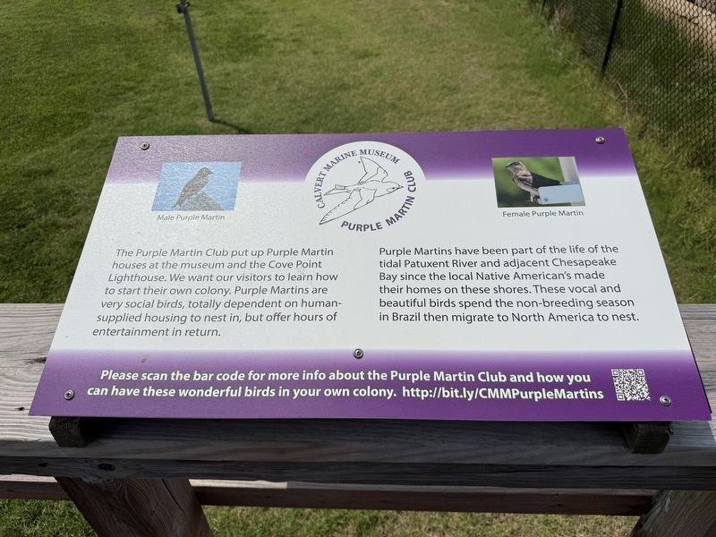
Purple Martins have been part of the life of the tidal Patuxent River and adjacent Chesapeake Bay since the local Native American's made their homes on these shores. These vocal and beautiful birds spend the non-breeding season in Brazil then migrate to North America to nest.
Please scan the bar code for more info about the Purple Martin Club and how you can have these wonderful birds in your own colony. http://bit.ly/CMMPurpleMartins
Credits. This page was last revised on August 3, 2026. It was originally submitted on August 2, 2026, by Devry Becker Jones of Washington, District of Columbia. This page has been viewed 23 times since then. Photos: 1, 2, 3. submitted on August 2, 2026, by Devry Becker Jones of Washington, District of Columbia.
