Dallas in Blount County, Alabama — The American South (East South Central)
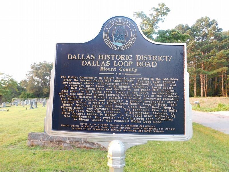
Dallas Historic District/Dallas Loop Road
Blount County
Photographed by Jimmy Emerson, July 29, 2026
1. Dallas Historic District/Dallas Loop Road Marker
The Dallas Community in Blount County was settled in the mid-1800s after the Second Creek War (1836-1837). Settlers built general merchandise stores, a blacksmith shop, a Methodist Church, and a cemetery later known as Bethlehem Cemetery. Local doctor J.E. Bell practiced here and Justice of the Peace Mitt Loggins held court in his living room. Later in the 1930s, an elementary school was built and named Sterling School after one of the residents. The Dallas Historic District consists of several properties including the Methodist Church and cemetery, a general merchandise store, Sterling School as well as the Tidmore House, Loggins House, Bell House, Sheridan House, Reid House, Good House, Neely House, Tidwell House, and Daycare House. The Tennessee Pike was built in 1900 from Nashville, Tennessee, to Birmingham, Alabama, to allow farmers access to market. In the 1950s after Highway 79 was constructed, this portion of the historic road remaining in Blount County was renamed Dallas Loop Road.
Erected 2021 by Blount County Historical Society
this page online
Topics. This historical marker is listed in these topic lists: Cemeteries & Burial Sites • Education • Roads & Vehicles • Settlements & Settlers. A significant historical year for this entry is 1837.
Location. 33° 50.563′ N, 86° 39.773′ W. Marker is in Dallas, Alabama, in Blount County. It is on Dallas Loop Road 0.1 miles north of Alabama Highway 79, on the left when traveling north. Touch for map. Marker is at or near this postal address: 184 Dallas Loop Rd, Trafford AL 35172, United States of America. Touch for directions.

Regionally, this marker is in North Alabama and in the Birmingham Metropolitan Area. It is also in the American South and specifically in the Deep South. Globally, it is in North America, a Gulf of Mexico state, the Western Hemisphere, the Western World, and the Anglosphere. Historically, it finds itself in what was once the original Cherokee Nation, the territory of the Mississippian Culture, one of the Confederate States of America, and the Antebellum South.
Photographed by Jimmy Emerson, July 29, 2026
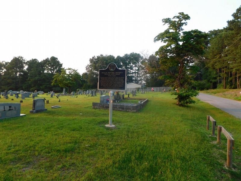
2. Dallas Historic District/Dallas Loop Road Marker
The old Tennessee Pike/Dallas Loop road is to the right. The Bethlehem Cemetery dates to the 1860s.
Other nearby markers. At least 8 other markers are within 11 miles of this marker, measured as the crow flies: History of Locust Fork (approx. 5.1 miles away); Gabriel Hanby, 1786-1826 (approx. 5.2 miles away); Homesite and Grave of George Powell (approx. 8.4 miles away); Mount Calvary Cemetery (approx. 9.3 miles away); Blount Springs (approx. 9.8 miles away); Wear Cemetery (approx. 10.3 miles away); Clay Methodist Cemetery (approx. 10.3 miles away); The Cahaba Heart River of Alabama (approx. 10.3 miles away).
Photographed by Jimmy Emerson, July 29, 2026
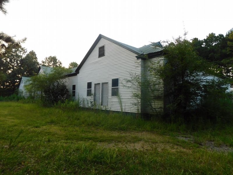
3. The Old Sterling School
Built 1940 by the WPA. Part of the Dallas Historic District
Photographed by Jimmy Emerson, July 29, 2026
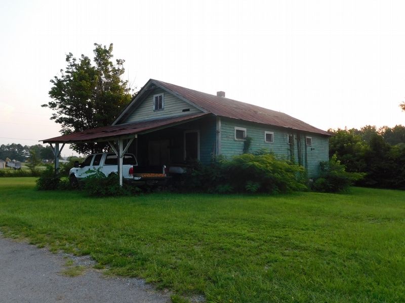
4. The Old Homer Good General Store
Built in 1940, closed 1952; Part of the Dallas Historic District
Credits. This page was last revised on August 5, 2026. It was originally submitted on August 2, 2026, by Jimmy Emerson of Dalton, Georgia. This page has been viewed 25 times since then. Photos: 1, 2, 3, 4. submitted on August 2, 2026, by Jimmy Emerson of Dalton, Georgia. • James Hulse was the editor who published this page.
