Peninsula State Park in Fish Creek in Door County, Wisconsin — The American Midwest (Great Lakes)
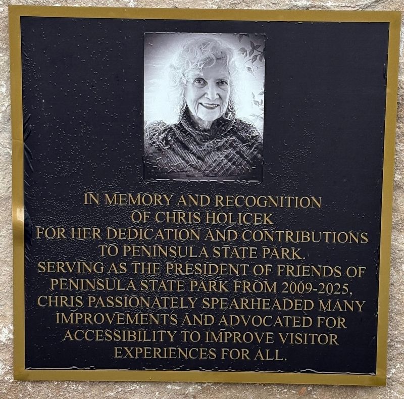
Chris Holicek
Photographed by Sean P. Flynn, July 31, 2026
1. Chris Holicek Marker
Erected 2026 by Friends of Peninsula State Park.
Topics. This historical marker is listed in these topic lists: Parks & Recreational Areas • Women. A significant historical year for this entry is 2009.
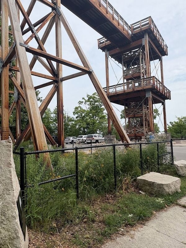
Location. 45° 9.751′ N, 87° 11.883′ W. Marker is in Fish Creek, Wisconsin, in Door County. It is in Peninsula State Park. It is on Shore Road 1.3 miles north of Wisconsin Highway 42, on the right. The marker is near the Eagle Tower at Peninsula State Park. Touch for map. Marker is in this post office area: Fish Creek WI 54212, United States of America. Touch for directions.

Regionally, this marker is on the Door Peninsula. It is also in the American Midwest and in the Corn Belt. Globally, it is in North America, on the Great Lakes, in the Western Hemisphere, in the Western World, and in the Anglosphere. Historically,
this page online
Other nearby markers. At least 8 other markers are within walking distance of this marker: Life on the Ledge (a few steps from this marker); What a View! (a few steps from this marker); Shipwrecked! (within shouting distance of this marker); A Tough Tree (within shouting distance of this marker); Welcome to Sentinel Trail (within shouting distance of this marker); Looking Back (within shouting distance of this marker); Shaped by Water (within shouting distance of this marker); A State Park System is Formed (approx. 0.2 miles away). Touch for a list and map of all markers in Fish Creek.
Regarding Chris Holicek. Holicek died in the summer of 2025. This marker was erected near Eagle Tower in June of 2026.
Photographed by Sean P. Flynn, July 31, 2026
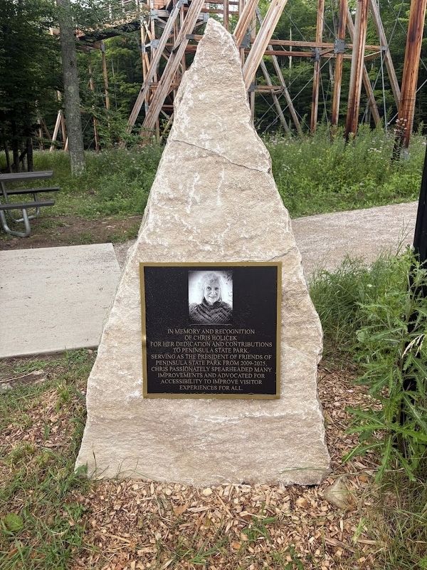
2. Chris Holicek Marker
Photographed by Sean P. Flynn, July 31, 2026
3. Chris Holicek Marker near Eagle Tower
Credits. This page was last revised on August 3, 2026. It was originally submitted on August 3, 2026, by Sean P. Flynn of Oak Park, Illinois. This page has been viewed 11 times since then. Photos: 1, 2, 3. submitted on August 3, 2026, by Sean P. Flynn of Oak Park, Illinois.
