Near Lake Placid in Essex County, New York — The American Northeast (Mid-Atlantic)
Lake Placid
Photographed by Steve Stoessel, August 3, 2026
1. Lake Placid Marker
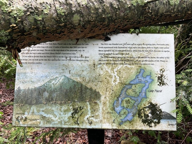
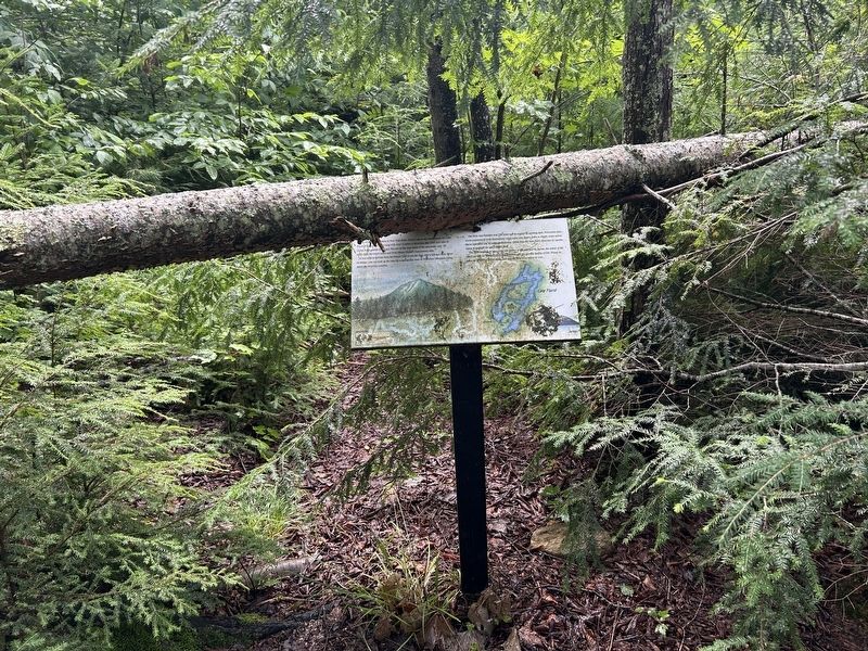
One of the cleanest lakes in New York State, Placid Lake is the water source for Lake Placid Village. Five miles long with over 12 miles of shoreline, this 2802 acre lake includes three islands (see map). You are on the west shore of the peninsula, only 0.06 miles from the lake's outlet and SOA (Shore Owner's Association) dam.
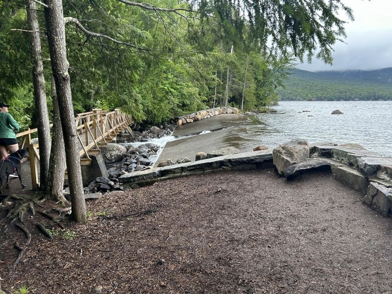
If you wish to deviate from the Nature Trail to see the dam, take a left turn hero. From its bridge, you can look up the lake for a spectacular view of Whiteface Mountain rising, above the shoreline conifers.
The SOA was founded over 100 years ago to acquire an existing dam. Previously lake levels experienced wide fluctuations when water was drawn down to supply water power for an industrial site 30 miles downstream. Other than the dam itself, there are no mechanisms to regulate the lake's water level.
The SOA is active, in preserving the quality of the lake and its shores, the safety of the lake's surface for transportation and pleasure, and the general quality of life. Please respect the private property of the dam and the SOA's invitation to visit.
Topics. This historical marker is listed
this page online
Location. 44° 18.266′ N, 73° 59.654′ W. Marker is near Lake Placid, New York, in Essex County. It can be reached from Peninsula Way. Marker is 1/2 mi. from the trailhead. Peninsula Way is a private road but access to the park is allowed. Touch for map. Marker is in this post office area: Lake Placid NY 12946, United States of America. Touch for directions.

Regionally, this marker is in Upstate New York, in the Adirondacks & North Country, and in the Champlain Valley. It is also in the American Northeast and in the Mid-Atlantic. Globally, it is in North America, the Great North Woods, the Western Hemisphere, the Western World, and the Anglosphere. Historically, it finds itself in what was once the Viceroyalty of New France, New Netherland, and one of the original Thirteen Colonies.
Other nearby markers. At least 8 other markers are within 2 miles of this marker, measured as the crow flies: Henry J. Kaiser (approx. 1.1 miles away); Mid's Park (approx. 1.1 miles away); Kate Smith Memorial (approx. 1.4
Photographed by Steve Stoessel, August 3, 2026
2. Lake Placid Marker
Photographed by Steve Stoessel, August 3, 2026
3. SOA Dam
Credits. This page was last revised on August 5, 2026. It was originally submitted on August 4, 2026, by Steve Stoessel of Niskayuna, New York. This page has been viewed 16 times since then. Photos: 1. submitted on August 4, 2026, by Steve Stoessel of Niskayuna, New York. 2, 3. submitted on August 5, 2026, by Steve Stoessel of Niskayuna, New York.
