Central Business District in Melbourne, Victoria, Australia — Oceania
Swanston Street c1895
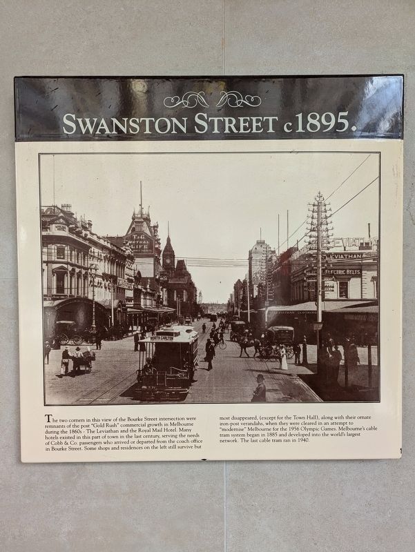
Photographed by Dean Barton-Ancliffe, July 4, 2026
1. Swanston Street c1895 Marker
Topics. This historical marker is listed in these topic lists: Colonial Era • Industry & Commerce • Roads & Vehicles. A significant historical year for this entry is 1895.
Location. 37° 48.788′ S, 144° 57.924′ E. Marker is in Melbourne, Victoria. It is in the Central Business District. It is on Swanston Street 0.1 kilometers north of Bourke Street, on the left when traveling north. Touch for map. Marker
this page online

Regionally, it is in Oceania, in Australasia, in the Pacific Ocean, in South Pacific, on the Pacific Rim, in the Western World, and in the Anglosphere. Historically, it finds itself in what was once a British colony.
Other nearby markers. At least 8 other markers are within walking distance of this marker: Bricks and spirit... (about 240 meters away, measured in a direct line); Melbourne Town Hall (approx. 0.3 kilometers away); Town Hall Foundation Stone (approx. 0.3 kilometers away); St. Francis Church (approx. 0.3 kilometers away); The Athenaeum Building (approx. 0.3 kilometers away); The Melbourne Athenaeum (approx. 0.3 kilometers away); Former Russell Street Telephone Exchange & Post Office (approx. 0.3 kilometers away); Dame Nellie Melba (1861-1931) (approx. 0.3 kilometers away). Touch for a list and map of all markers in Melbourne.
Also see . . . Swanston Street. Wikipedia
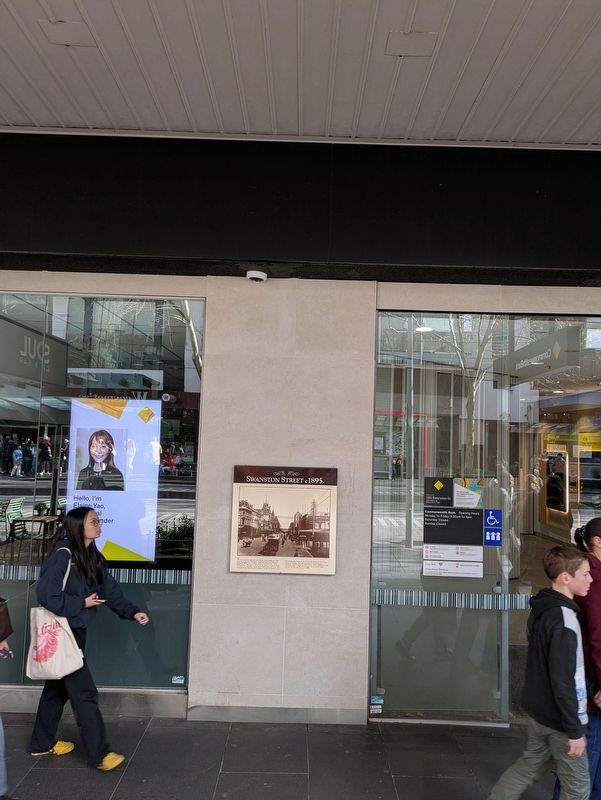
Swanston Street is a major thoroughfare in the Melbourne central business district, Victoria, Australia. It was laid out in 1837(Submitted on August 5, 2026, by Dean Barton-Ancliffe of Rowville, Victoria.)as part of the original Hoddle Grid. The street vertically bisects Melbourne's city centre and is famous as the world's busiest tram corridor, for its heritage buildings and as a shopping strip.Photographed by Dean Barton-Ancliffe, July 4, 20262. Swanston Street c1895 Marker along the footpath
Swanston Street runs roughly north–south in-between Russell Street to the east and Elizabeth Street to the west. To the south it becomes St Kilda Road after the intersection with Flinders Street, whilst the road's northern end was originally at La Trobe Street. The street beyond that now known as Swanston Street was originally named Madeline Street, and runs through the suburb of Carlton to Melbourne Cemetery. The street is named after merchant, banker and politician Charles Swanston.
circa 1915
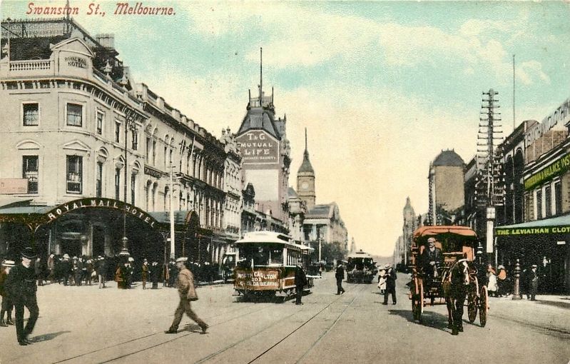
3. Swanston Street c1915
Looking south on Swanston Street, with the Royal Mail Hotel on the left, and the town hall (with clock tower) visible a bit further back. The marker site would be just a few meters behind the viewer here.
Credits. This page was last revised on August 6, 2026. It was originally submitted on August 5, 2026, by Dean Barton-Ancliffe of Rowville, Victoria. This page has been viewed 13 times since then. Photos: 1, 2. submitted on August 5, 2026, by Dean Barton-Ancliffe of Rowville, Victoria. 3. submitted on August 6, 2026. • Andrew Ruppenstein was the editor who published this page.
