Near Fort Peck in McCone County, Montana — The American West (Mountains)
Welcome to the Milk River Observation Point
Lewis & Clark at the Milk River
June 21, 2026
1. Welcome to the Milk River Observation Point Marker
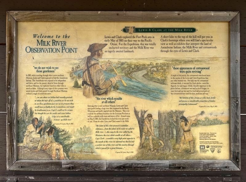
A short hike to the top of the hill will put you in Clark's footsteps where you will find a spectacular view as well as exhibits that interpret the land of Assiniboine Indians, the Milk River and cottonwoods through the eyes of Lewis and Clark.
"we do not wish to see those gentlemen"
In 1805, while traveling through what is now northeast Montana, Lewis and Clark expected to find the Assiniboine Indians. The Assiniboine were reputed to be independent and fierce, and for the journey ahead of them through northeast Montana, the explorers feared no other tribe as much as them. Although many signs of their presence were noted, Lewis and Clark passed through Northeast Montana without a single recorded encounter.
"we saw where an Indian had recently grained, or taken the hair off of a goatskin; we do not wish to see those gentlemen just now as we presume they would most probably be the Assinniboins and might be troublesome to us. Capt C. could not be certain but thought he saw the smoke and some Indian lodges at a considerable distance up Milk river."
-Captain M. Lewis, May 8, 1805
"the river which scoalds at all others"
Entering
this page online
"the water of this river possesses a peculiar whiteness... from the colour of it's water we called it Milk river. (...this may be the river called by the Minitares the river which scoalds at all others... Capt Clark ...ascended a very high point opposite to the mouth of this river; he informed me that he had a perfect view of this river and the country through which it passed for a great distance..."
-Captain M. Lewis, May 8, 1805
"these appearances of cottonwood were quite reviving"
A staple of the prairie, the cottonwood contributed more to the success of the Lewis and Clark Expedition than any other western tree. Not only was the cottonwood welcome shade, it was used for food, shelter, canoe-like dugouts, fire and wagon
June 21, 2026
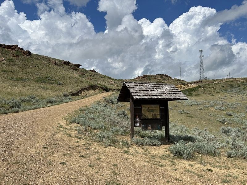
2. Welcome to the Milk River Observation Point Marker
"the bottoms of this stream ar wide, level, fertile and possess a considerable proportion of timber, principally Cottonwood."
-Captain M. Lewis, May 8, 1805
Excerpts taken from: The Journals of the Lewis & Clark Expedition: Volume Four, April 7- July 27, 1805. Gary E. Moulton, Editor. Historical reference, Bob Saindon.
Erected by US Army Corps of Engineers Omaha District, Montana Department of Fish, Wildlife & Parks, in cooperation with Travel Montana, Dept. of Commerce, Montana's Missouri River Country.
Topics and series. This historical marker is listed in these topic lists: Exploration • Indigenous Peoples and Communities • Waterways & Vessels. In addition, it is included in the Lewis & Clark Expedition series list. A significant historical date for this entry is May 8, 1805.
Location. 48° 1.706′ N, 106° 19.069′ W. Marker is near Fort Peck, Montana, in McCone County. It is on L and C Observation Road 0.2 miles north of
June 21, 2026
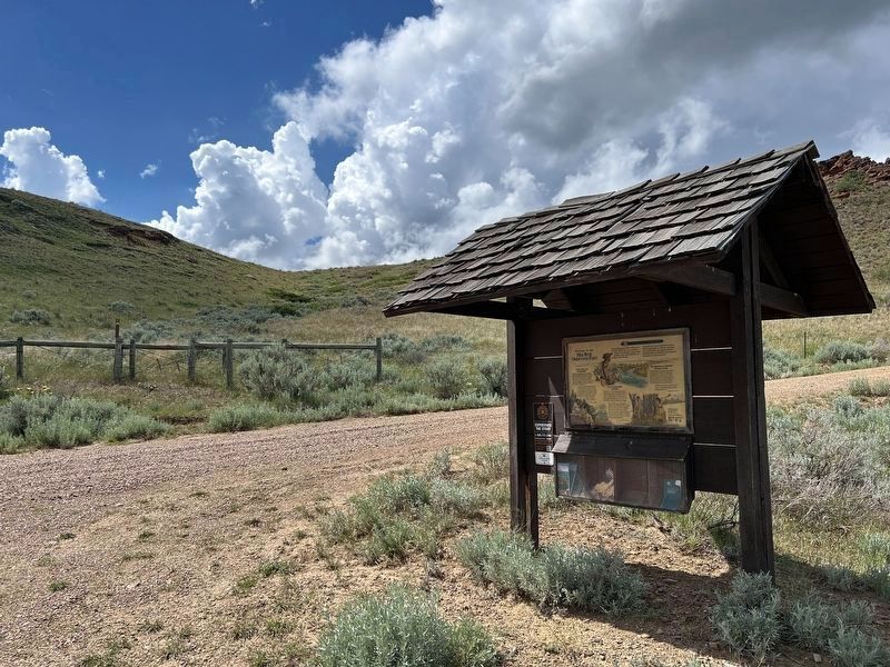
3. Welcome to the Milk River Observation Point Marker
The trailhead that leads up the hill to the observation point can be seen in the background.

Regionally, this marker is in the American Mountain West, in the Lewis & Clark Corridor, on the prairies, on the Great Plains, and specifically on the Northern Plains. Globally, it is in North America, the Western Hemisphere, the Western World, and the Anglosphere. Historically, it finds itself in what was once Rupert’s Land and also the Louisiana Purchase.
Other nearby markers. At least 8 other markers are within 4 miles of this marker, measured as the crow flies: "we do not wish to see those gentlemen" (about 500 feet away, measured in a direct line); a different marker also named Welcome to the Milk River Observation Point (about 500 feet away); "these appearances of cottonwood were quite reviving" (about 500 feet away); "...much broken grannite...scattered...in a confused manner" (about 500 feet away); Fort Peck Spillway (approx. 1.7 miles away); Peculiar White Water Named the Milk River (approx. 3.6 miles away); With No Running Water, the Stream was called Big Dry River (approx. 3.6 miles away); Summits of High Hills Were Covered with Pine (approx. 3.6 miles away). Touch for a list and map of all markers in Fort Peck.
Related markers. Click here for a list of markers that are related to this marker.
Credits. This page was last revised on August 8, 2026. It was originally submitted on August 6, 2026. This page has been viewed 19 times since then. Photos: 1, 2, 3. submitted on August 6, 2026.
