Farewell in Oshawa in Durham Region, Ontario — Central Canada (North America)
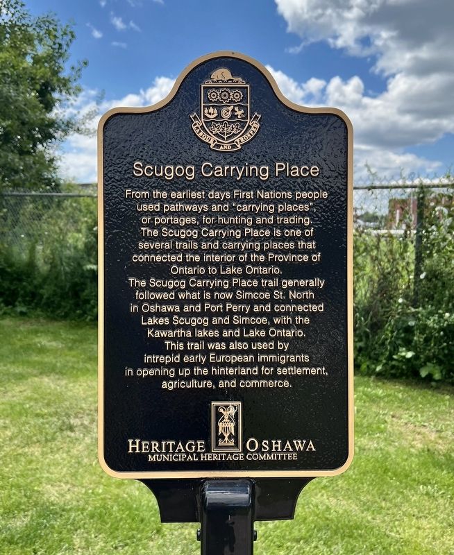
Scugog Carrying Place
Photographed by Tim Boyd, July 30, 2026
1. Scugog Carrying Place Marker
The Scugog Carrying Place trail generally followed what is now Simcoe St. North in Oshawa and Port Perry and connected Lakes Scugog and Simcoe, with the Kawartha lakes and Lake Ontario. This trail was also used by intrepid early European immigrants in opening up the hinterland for settlement, agriculture, and commerce.
Erected by Heritage Oshawa.
Topics. This historical marker is listed in these topic lists: Indigenous Peoples and Communities • Settlements & Settlers • Waterways & Vessels.
Location. 43° 52.818′ N, 78° 49.344′ W. Marker is in Oshawa, Ontario, in Durham Region. It is in Farewell. It is on Colonel Sam Drive half a kilometer east of Farewell Creek, on the right when traveling east. The marker is on the Waterfront Trail, approx. 20 metres south from the entrance on Colonel Sam Drive.
this page online

Regionally, this marker is in Greater Toronto, specifically on the Golden Horseshoe, in the York, Durham and Headwaters Area, and in the Toronto Metropolitan Area. It is also in Central Canada. Globally, it is in North America, on the Great Lakes, in the Western Hemisphere, in the Western World, and in the Anglosphere. Historically, it finds itself in what was once a British colony, the Viceroyalty of New France, the Haudenosaunee (Iroquois) Confederacy, and Rupert’s Land.
Other nearby markers. At least 8 other markers are within 5 kilometers of this marker, measured as the crow flies: Robinson House (approx. 1.8 kilometers away); The Hon. Gordon D. Conant 1885-1953 (approx. 1.8 kilometers away); Guy House (approx. 1.8 kilometers away); Henry House (approx. 1.9 kilometers away); The Wilson Family (approx. 1.9 kilometers away); The People’s Mill (approx. 3.4 kilometers away); Memorial Park Cenotaph (approx. 3.6 kilometers away); Recreation by the Lake (approx. 3.6 kilometers away).
Photographed by Tim Boyd, July 30, 2026
2. Scugog Carrying Place Marker
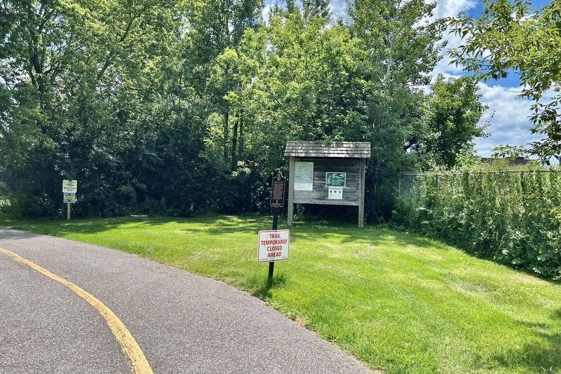
Centre of photo
Photographed by Tim Boyd, July 30, 2026
3. Scugog Carrying Place Marker
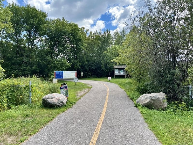
From the entrance to the Waterfront Trail on Col. Sam Drive.
August 7, 2026
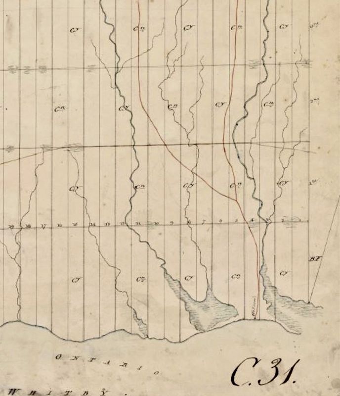
4. Survey of Whitby Township, 1795, showing the routes of the Scugog Carrying Place trail in red
Source: Archives of Ontario (public domain)
Credits. This page was last revised on August 8, 2026. It was originally submitted on August 7, 2026, by Tim Boyd of Hamilton, Ontario. This page has been viewed 13 times since then. Photos: 1, 2, 3, 4. submitted on August 7, 2026, by Tim Boyd of Hamilton, Ontario. • Andrew Ruppenstein was the editor who published this page.
