Verona in Oneida County, New York — The American Northeast (Mid-Atlantic)
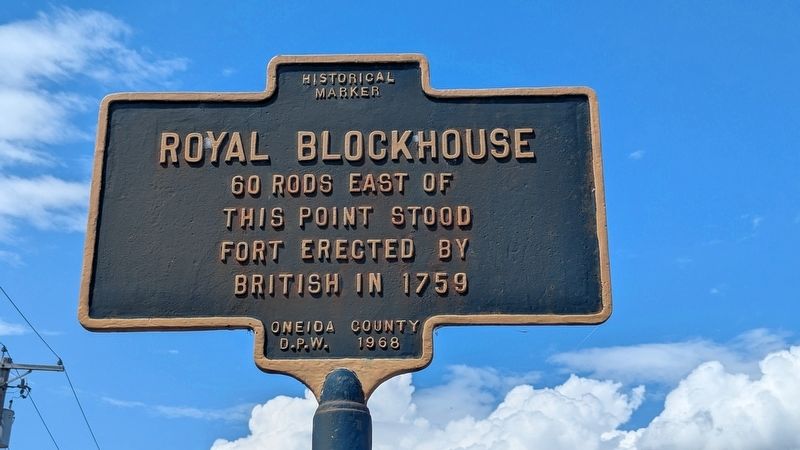
Royal Blockhouse
Photographed by Mira Earls, August 6, 2026
1. Royal Blockhouse Marker
60 rods east of this point stood fort erected by British in 1759
Erected 1968 by Oneida County D.P.W.
Topics. This historical marker is listed in these topic lists: Colonial Era • Forts and Castles • War, French and Indian. A significant historical year for this entry is 1759.
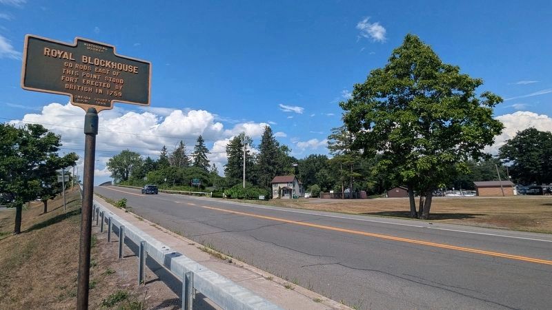
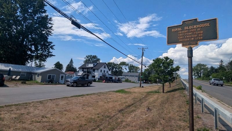
Location. 43° 11.603′ N, 75° 43.688′ W. Marker is in Verona, New York, in Oneida County. It is at the intersection of New York State Route 13 and McClanthan Road, on the right when traveling south on New York State Route 13. Touch for map. Marker is in this post office area: Verona NY 13478, United States of America. Touch for directions.

Regionally, this marker is in Upstate New York and in the Mohawk Valley. It is also in the American Northeast and in the Mid-Atlantic. Globally, it is in North America, the Great North Woods, the Western Hemisphere, the Western World, and the Anglosphere. Historically, it finds itself in what was once the Haudenosaunee (Iroquois) Confederacy, New Netherland, and one of the original Thirteen Colonies.
Other nearby markers. At least 8 other markers are within 7 miles of this marker, measured
this page online
Photographed by Mira Earls, August 6, 2026
2. Royal Blockhouse Marker
Photographed by Mira Earls, August 6, 2026
3. Royal Blockhouse Marker
Credits. This page was last revised on October 9, 2026. It was originally submitted on August 7, 2026, by Mira Earls of Cortland, New York. This page has been viewed 13 times since then. Photos: 1, 2, 3. submitted on August 7, 2026, by Mira Earls of Cortland, New York. • Michael Herrick was the editor who published this page.
