Greenleaf Township near Cass City in Sanilac County, Michigan — The American Midwest (Great Lakes)
The Cass River
Photographed by Joel Seewald, May 30, 2026
1. The Cass River Marker
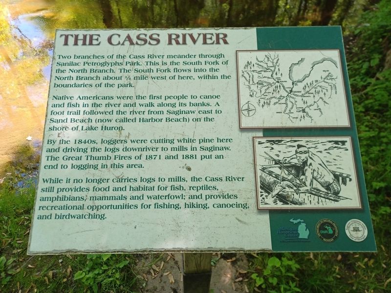
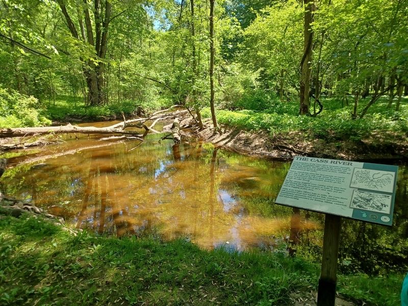
Two branches of the Cass River meander through Sanilac Petroglyphs Park. This is the South Fork of the North Branch. The South Fork flows into the North Branch about ¼ mile west of here, within the boundaries of the park.
Native Americans were the first people to canoe and fish in the river and walk along its banks. A foot trail followed the river from Saginaw east to Sand Beach (now called Harbor Beach) on the shore of Lake Huron.
By the 1840s, loggers were cutting white pine here and driving the logs downriver to mills in Saginaw. The Great Thumb Fires of 1871 and 1881 put an end to logging in this area.
While is no longer carries logs to mills, the Cass River still provides food and habitat for fish, reptiles, amphibians, mammals and waterfowl; and provides recreational opportunities for fishing, hiking, canoeing, and birdwatching.
Topics. This historical marker is listed in these topic lists: Horticulture & Forestry • Indigenous Peoples and Communities • Parks & Recreational Areas. A significant historical year for this entry is 1871.
Location. 43° 39.364′ N, 83° 1.561′ W. Marker is near Cass City,
this page online

Regionally, this marker is on Michigan’s Thumb and in one of the Lake Huron Shore counties. It is also in the American Midwest. Globally, it is in North America, on the Great Lakes, in the Western Hemisphere, in the Western World, and in the Anglosphere. Historically, it finds itself in what was once the Northwest Territory.
Other nearby markers. At least 8 other markers are within walking distance of this marker: Ezhibiigaadek Asin (approx. ¼ mile away); Archaeology (approx. ¼ mile away); Sanilac Petroglyphs Park Geology (approx. ¼ mile away); The Great Thumb Fires (approx. 0.3 miles away); Sanilac Petroglyphs Historic State Park (approx. 0.3 miles away); a different marker also named Ezhibiigaadek Asin (approx. 0.3 miles away);
Photographed by Joel Seewald, May 30, 2026
2. The Cass River Marker
Photographed by Joel Seewald, May 30, 2026
3. The Cass River Marker
Credits. This page was last revised on August 8, 2026. It was originally submitted on August 8, 2026, by Joel Seewald of Madison Heights, Michigan. This page has been viewed 13 times since then. Photos: 1, 2, 3. submitted on August 8, 2026, by Joel Seewald of Madison Heights, Michigan.
