Frederick in Frederick County, Maryland — The American Northeast (Mid-Atlantic)
Defense Of Jug Bridge
"Hold the bridge to the last extremity"
| — | Early's 1864 Attack on Washington | — |
Photographed by Mike McKeown, August 8, 2026
1. Defense of Jug Bridge Marker
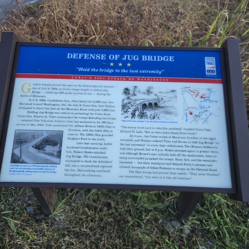
Gunfire echoed around this spot on the blisteringly hot summer day of July 9, 1864, as Union troops fought to defend Jug Bridge — which sat 400 yards in front of you — during the Battle of Monocacy.
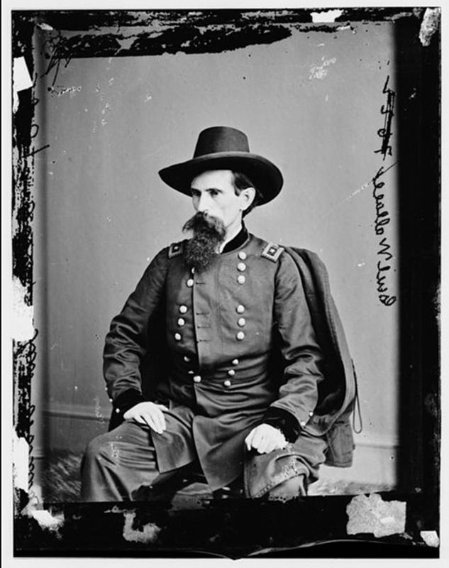
In July 1864, Confederate Gen. Jubal Early led 14,000 men into Maryland toward Washington, D.C. On July 9, Union Gen. Lew Wallace attempted to block him here at the Monocacy River with just 5,800 men.
Holding Jug Bridge was critical to protecting the Union flank. Union Gen. Erastus B. Tyler commanded the troops defending the bridge — untested Ohio Volunteer Infantry that had mustered in for 100 days service in May 1864. Tyler positioned Col. Allison Brown's 149th Ohio in this area, with the 144th Ohio in reserve. The 159th Ohio guarded Hughes's Ford to the north.
Late that morning, battle-hardened Confederates under Gen. Robert Rodes attacked Jug Bridge. The Confederates attempted to flank the defenders' left, but a counterattack restored the line. Skirmishing continued throughout the afternoon. "The enemy tried hard to take [the position]" recalled Union Capt. Edward H. Lieb, "But at every point [was] driven back."
At
this page online
The Ohio troops had proved their mettle. "They never flinched," one remembered, "but went at it like old veterans."
(captions)
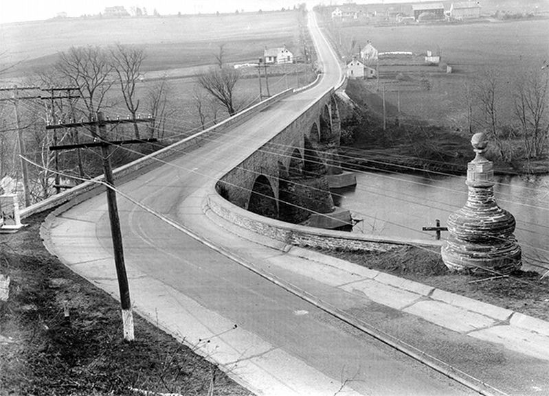
Jug Bridge as seen in a 1933 photograph, looking west. You are standing in the middle distance of this photograph, looking back towards the bridge. Courtesy Library of Congress
"Fight at the Stone Bridge" from The Story of American Heroism.
Erected by Maryland Civil War Trails.
Topics and series. This historical marker is listed in these topic lists: Bridges & Viaducts • War, US Civil. In addition, it is included in the Maryland Civil War Trails series
Photographed by Mike McKeown, August 8, 2026
2. Defense of Jug Bridge Marker
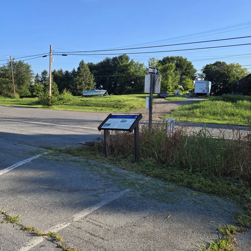
Location. 39° 24.033′ N, 77° 22.265′ W. Marker is in Frederick, Maryland, in Frederick County. It is at the intersection of Old Maryland Route 144 and East Patrick Street, on the left when traveling east on Maryland Route 144. Located at the east end of the Frederick Old National Pike Park & Ride. Touch for map. Marker is in this post office area: Frederick MD 21704, United States of America. Touch for directions.

Regionally, this marker is in the Washington Metropolitan Area and in Central Maryland. It is also in the American Mid-Atlantic. Globally, it is in North America, the Western Hemisphere, the Western World, and the Anglosphere. Historically, it finds itself in what was once one of the original Thirteen Colonies and also the Antebellum South.
Other nearby markers. At least 8 other markers are within 2 miles of this marker, measured as the crow flies: General LaFayette (approx. 0.7 miles away); a different marker also named Jug Bridge (approx. ¾ mile away); The Delaplaine Building (approx. 1.2 miles away); The Frederick Brick Works (approx. 2 miles away); The Lower Depot Neighborhood / The Frederick Brick Works
Photographed by Alber S. Burns, 1933
3. Jug Bridge, Frederick Road spanning Monacacy River, Frederick, Frederick County, MD
Library of Congress HABS MD,11-FRED.V,5-
Other markers no longer nearby. Jug Bridge (was approx. ¾ mile away but has been replaced with another marker now near it); Jug Bridge Monument (was approx. ¾ mile away but has been confirmed missing).
Also see . . .
1. The Battle for Stone (Jug) Bridge (The War Returns to South Mountain). (Submitted on August 8, 2026, by Mike McKeown of Baltimore, Maryland.)
2. Monocacy (American Battlefield Trust). (Submitted on August 8, 2026, by Mike McKeown of Baltimore, Maryland.)
Mathew Brady - Library of Congress (Public Domain)
4. Union Gen. Lew Wallace
Credits. This page was last revised on August 17, 2026. It was originally submitted on August 8, 2026, by Mike McKeown of Baltimore, Maryland. This page has been viewed 22 times since then. Photos: 1, 2, 3, 4. submitted on August 8, 2026, by Mike McKeown of Baltimore, Maryland. • Bernard Fisher was the editor who published this page.
