Ketchikan in Ketchikan Gateway Borough, Alaska — Northwest (North America)
What is Totem Bight?
Photographed by Shirley A Stirling, August 6, 2026
1. What is Totem Bight Marker
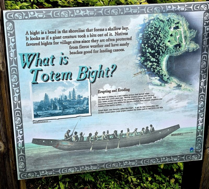
A bight is a bend in the shoreline that forms a shallow bay. It looks as if a giant creature took a bite out of it. Natives favored bights for village sites since they are often protected from fierce weather and have sandy beaches good for landing canoes.
Erupting and eroding
This bight is sitting on a vast marine terrace that formed when sea level rose 6,000 years ago. Melting glaciers caused this rise, and then waves eroded the base of the mountains to form the terrace the mountains formed long before the glaciers melted, from volcanic eruptions and folding of the earth's surface.
Totem Bight, was formerly called Mud Bight. It got its new name after the Civilian Conservation Corps project created the Totem Park in the 1930s and 40s.
(Caption) Engraving, Beach fishing camp scene, 1785. Alaska State Library, Alaska Purchase Centennial Collection, PCA 20-54.
Topics. This historical marker is listed in these topic lists: Natural Features • Waterways & Vessels. A significant historical year for this entry is 1930.
Location. 55° 25.178′ N, 131° 46.389′ W. Marker is in Ketchikan, Alaska, in Ketchikan
this page online

Regionally, this marker is in Southeast Alaska, in Tlingit and Haida & Tsimshian Region. It is also on the American Pacific Coast. Globally, it is in North America, in the Inside Passage, on the Pacific Rim, in the Western Hemisphere, in the Western World, and in the Anglosphere. Historically, it finds itself in what was once the Russian Empire.
Other nearby markers. At least 8 other markers are within walking distance of this marker: The story of Totem Bight (here, next to this marker); Symbols and Society (a few steps from this marker); A People’s Distinctive Art (a few steps from this marker); Continuing the Cycle (within shouting distance of this marker); Harvest from the Sea (within shouting distance of this marker); Understanding Totem Poles (within shouting distance of this marker); A Look Into the Clan House (within shouting distance of this marker); Houses of Heritage (within shouting distance of this marker). Touch for a list and map
Photographed by Shirley A Stirling, August 6, 2026
2. What is Totem Bight Marker

Photographed by Bill Coughlin, September 2, 2026
3. What is Totem Bight? Marker
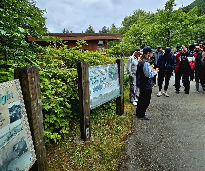
The What is Totem Bight? marker is seen here on the right.
Credits. This page was last revised on September 16, 2026. It was originally submitted on August 9, 2026, by Shirley A Stirling of Lacey, Washington. This page has been viewed 24 times since then. Photos: 1, 2. submitted on August 9, 2026, by Shirley A Stirling of Lacey, Washington. 3. submitted on September 14, 2026, by Bill Coughlin of Woodland Park, New Jersey. • Andrew Ruppenstein was the editor who published this page.
