Near Williamsville in Bath County, Virginia — The American South (Mid-Atlantic)
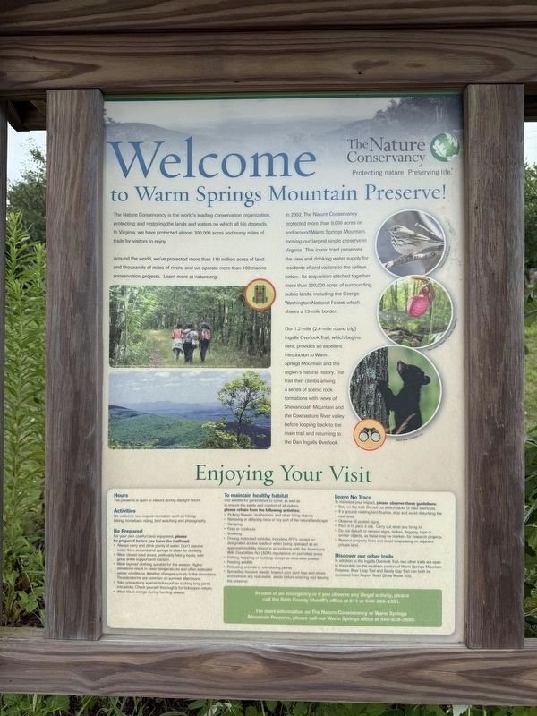
Welcome to Warm Springs Mountain Preserve!
The Nature Conservancy
| — | Protecting nature. Preserving life. | — |
Photographed by Devry Becker Jones (CC0), August 8, 2026
1. Welcome to Warm Springs Mountain Preserve! Marker
The Nature Conservancy is the world's leading conservation organization, protecting and restoring the lands and waters on which all life depends. In Virginia, we have protected almost 300,000 acres and many miles of trails for visitors to enjoy.
Around the world, we've protected more than 119 million acres of land and thousands of miles of rivers, and we operate more than 100 marine conservation projects. Learn more at nature.org.
In 2002, the Nature Conservancy protected more than 9,000 acres on and around Warm Springs Mountain, forming our largest single preserve in Virginia. This iconic tract preserves the view and drinking water supply for residents of and visitors to the valleys below. Its acquisition stitched together more than 300,000 acres of surrounding public lands, including the George Washington National Forest, which shares a 13-mile border.
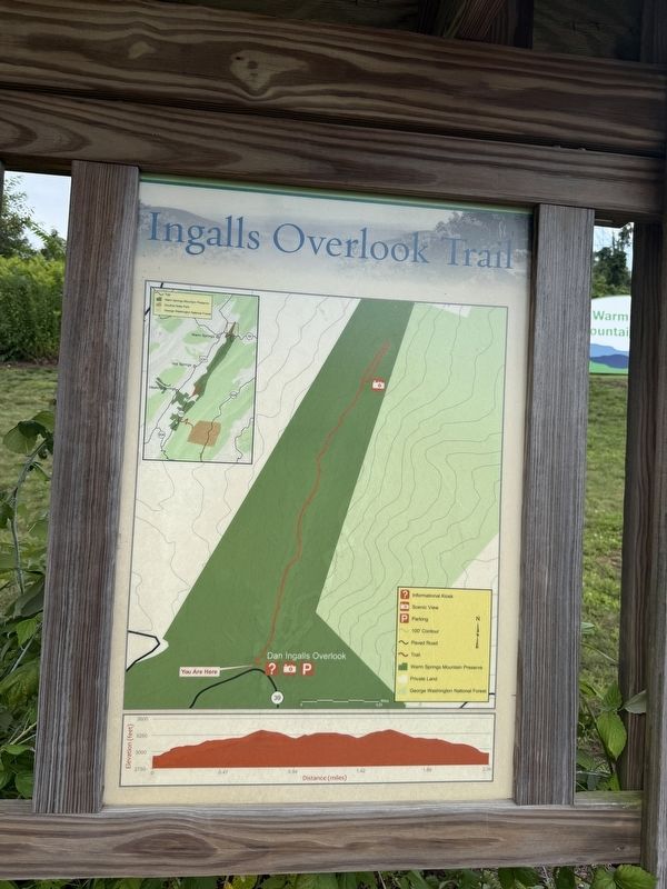
Our 1.2-mile (2.4-mile round trip) Ingalls Overlook Trail begins here, provides an excellent introduction to Warm Springs Mountain and the region's natural history. The trail then climbs among a series of scenic rock formations with views of Shenandoah Mountain
this page online
Erected by The Nature Conservancy.
Topics. This historical marker is listed in these topic lists: Charity & Public Work • Horticulture & Forestry • Natural Features • Parks & Recreational Areas. A significant historical year for this entry is 2002.
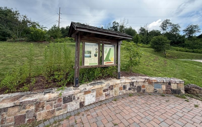
Location. 38° 3.067′ N, 79° 45.986′ W. Marker is near Williamsville, Virginia, in Bath County. It is on Ingalls Overlook Trail north of Mountain Valley Road (Virginia Route 39), on the right when traveling west. Touch for map. Marker is in this post office area: Warm Springs VA 24484, United States of America. Touch for directions.

Regionally, this marker is in the Shenandoah Valley, in the Alleghany Highlands, and specifically in the Potomac Highlands. It is also in the American South, specifically in the Upper South, in Appalachia, and specifically in Southern Appalachia. Globally, it is in North America, the Western Hemisphere, the Western World, and the Anglosphere. Historically, it finds itself in what was once the territory of the Mississippian
Photographed by Devry Becker Jones (CC0), August 8, 2026
2. Welcome to Warm Springs Mountain Preserve! Marker
Other nearby markers. At least 8 other markers are within walking distance of this marker: The Land and Natural Resources of Bath County (within shouting distance of this marker); Life at the Tollhouse (within shouting distance of this marker); The Turnpike Movement in Virginia, 1825-1835 (within shouting distance of this marker); The Virginia Springs Resorts (within shouting distance of this marker); Settlement on Warm Springs Mountain (within shouting distance of this marker); Early Bath County Courthouses (approx. 0.8 miles away); Warm Springs Baths (approx. 0.8 miles away); Welcome (approx. 0.8 miles away). Touch for a list and map of all markers in Williamsville.
Credits. This page was last revised on August 9, 2026. It was originally submitted on August 9, 2026, by Devry Becker Jones of Washington, District of Columbia. This page has been viewed 10 times since then. Photos: 1, 2, 3. submitted on August 9, 2026, by Devry Becker Jones of Washington, District of Columbia.
