Swoope in Augusta County, Virginia — The American South (Mid-Atlantic)
Confederate Civil Disobedience
The Plight of the Pacifists
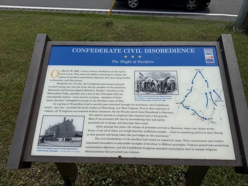
On March 19, 1862, a weary column shuffled by the road in front of you. They were not soldiers marching to a battle, but dozens of pacifist conscientious objectors who were being herded to Staunton, and then prison.
Desperate for recruits, the Confederate government planned to draft young men into the army, but for members of the numerous Mennonite and German Baptist Brethren "Dunker" churches in the Shenandoah Valley, pacifism was a way of life. Presented with two unacceptable choices—army service or prison—members of these "peace churches" attempted to escape to the Northern state of Ohio.
As a group of 72 pacifists tried to secretly pass westward through the mountains, two Confederate scouts—just two—arrested the draft evaders at Petersburg, now West Virginia. True to their rejection of violence, all 72 fugitives surrendered without resistance. On the 87-mile march from Petersburg to Staunton the captives proved so compliant they required only a few guards. Most of the prisoners felt that by surrendering they had tacitly promised not to escape, and they kept their word.
After passing this point, the column
this page online
The civil disobedience of the pacifists had raised an important issue. Their commitment and conduct impressed lawmakers as admirable examples of devotion to Biblical principles. Virginia passed laws protecting conscientious objectors, and the Confederate Congress amended conscription laws to exempt religious denominations that preached non-violence.
[Captions:]
Most of the fugitives spent a month imprisoned in Castle Thunder, Richmond. — Courtesy Library of Congress
An 1864 drawing shows German Baptist farmers, aka "Dunkers," near Harrisonburg. Frank Leslie's Illustrated Nespaper, October 29, 1864
Erected by Virginia Civil War Trails.
Topics and series. This historical marker is listed in these topic lists: Law Enforcement • Peace • Religion & Religious Structures • War, US Civil. In addition, it is included in the Virginia Civil War Trails series list. A significant historical date for this entry is March 19, 1862.
Location. 38° 10.036′ N,


Regionally, this marker is in the Shenandoah Valley. It is also in the American South and specifically in the Upper South. Globally, it is in North America, the Western Hemisphere, the Western World, and the Anglosphere. Historically, it finds itself in what was once the territory of the Mississippian Culture, one of the original Thirteen Colonies, one of the Confederate States of America, and the Antebellum South.
Other nearby markers. At least 8 other markers are within 5 miles of this marker, measured as the crow flies: West View (within shouting distance of this marker); Augusta County Training School (approx. 2.6 miles away); Queen Miller Home (approx. 3.4 miles away); Last Indian Clash (approx. 3.8 miles away); James Edward Hanger (approx. 4.1 miles away); A Mansion in the New Republic: (approx. 4.6 miles away); Farming and Freedom at Montgomery Hall (approx. 4.6 miles away); The Long Road to Freedom (approx. 4.6 miles away).
Credits. This page was last revised on August 9, 2026. It was originally submitted on August 9, 2026, by Devry Becker Jones of Washington, District of Columbia. This page has been viewed 17 times since then. Photos: 1, 2. submitted on August 9, 2026, by Devry Becker Jones of Washington, District of Columbia.
