Maywood in Burnaby in Metro Vancouver, British Columbia — Canada’s West Coast (North America)
Jubilee Grove
City of Burnaby Heritage Site
Photographed by Bradley Owen, August 9, 2026
1. Jubilee Grove Marker
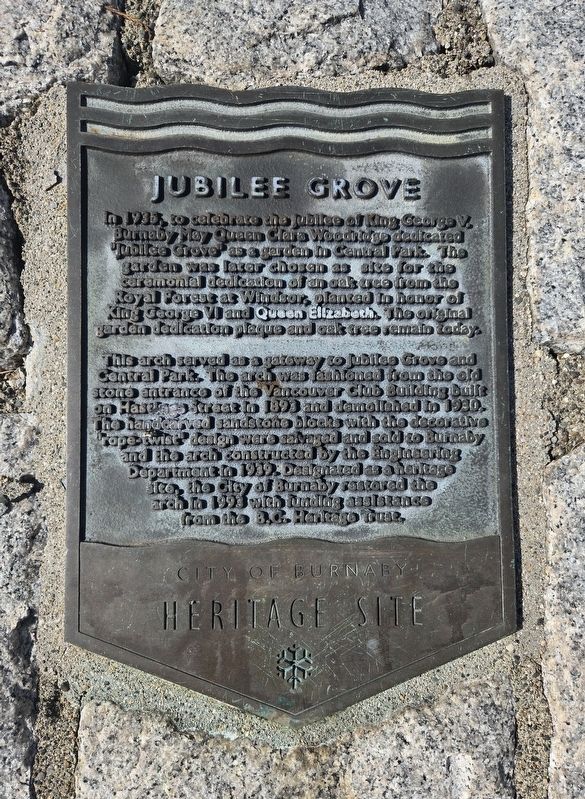
In 1935, to celebrate the Jubilee of King George V. Burnaby May Queen Clara Woodridge dedicated Jubilee Grove as a garden in Central Park. The garden was later chosen as site for the ceremonial dedication of an oak tree from the Royal Forest at Windsor, planted in honor of King George VI and Queen Elizabeth. The original garden dedication plaque and oak tree remain today.
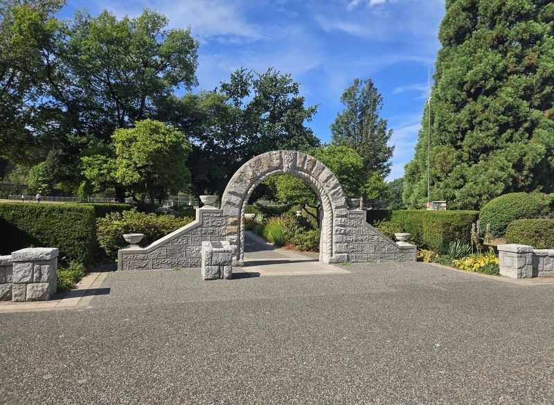
This arch served as a gateway to Jubilee Grove and Central Park. The arch was fashioned from the old stone entrance of the Vancouver Club Building built on Hastings Street in 1893 and demolished in 1930. The handcarved sandstone blocks with the decorative "rope-twist" design were salvaged and sold to Burnaby and the arch constructed by the Engineering Department in 1939. Designated as a heritage site, the city of Burnaby restored the arch to 1993 with funding assistance from the B.C. Heritage trust.
Erected 1993 by The City of Burnaby, British Colombia.
Topics. This historical marker is listed in these topic lists: Notable Events • Notable Places • Parks & Recreational Areas. A significant historical year for this entry is 1935.
Location. 49° 13.948′ N,
this page online

Regionally, this marker is on the Lower Mainland and in Coast & Mountains. Globally, it is in North America, in the Cascade Range, in the Inside Passage, on the Ring of Fire, on the Pacific Rim, in the Western Hemisphere, in the Western World, and in the Anglosphere. Historically, it finds itself in what was once a British colony.
Other nearby markers. At least 8 other markers are within 8 kilometers of this marker, measured as the crow flies: Variety Park Playground (approx. half a kilometer away); Central Park (approx. half a kilometer away); Central Park Bandstand (approx. 0.6 kilometers away); Korean War Memorial (approx. 0.8 kilometers away); Bright Waters (approx. one kilometer away);
Photographed by Bradley Owen, August 9, 2026
2. Jubilee Grove Marker
The marker is located on top of the stone at the front left of the arch.
Credits. This page was last revised on August 10, 2026. It was originally submitted on August 10, 2026, by Bradley Owen of Morgantown, West Virginia. This page has been viewed 10 times since then. Photos: 1, 2. submitted on August 10, 2026, by Bradley Owen of Morgantown, West Virginia.
