Gurnee in Lake County, Illinois — The American Midwest (Great Lakes)
Timeline
Photographed by Sean P. Flynn, August 9, 2026
1. Timeline Marker
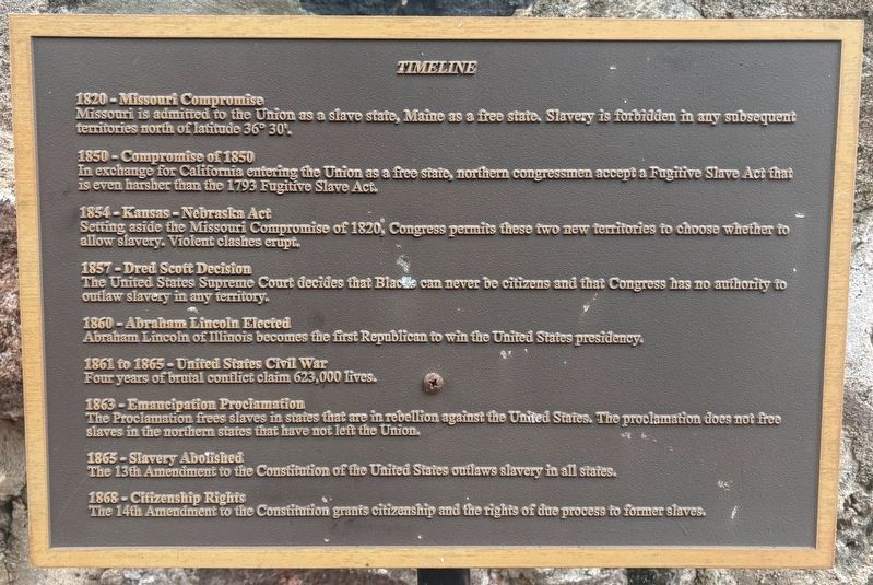
1820 - Missouri Compromise
Missouri is admitted to the Union as a slave state, Maine as a free state. Slavery is forbidden in any subsequent territories north of latitude 36° 30'.
1850 - Compromise of 1850
In exchange for California entering the Union as a free state, northern congressmen accept a Fugitive Slave Act that is even harsher than the 1793 Fugitive Slave Act.
1854 - Kansas-Nebraska Act
Setting aside the Missouri Compromise of 1820, Congress permits these two new territories to choose whether to allow slavery. Violent clashes erupt.
1857 - Dred Scott Decision
The United States Supreme Court decides that Blacks can never be citizens and that Congress has no authority to outlaw slavery in any territory.
1860 - Abraham Lincoln Elected
Abraham Lincoln of Illinois becomes the first Republican to win the United States presidency.
1861 to 1865 - United States Civil War
Four years of brutal conflict claim 623,000 lives.
1863 - Emancipation Proclamation
The Proclamation frees slaves in states that are in rebellion against the United States. The proclamation does not free slaves in the northern
this page online
1865 - Slavery Abolished
The 13th Amendment to the Constitution of the United States outlaws slavery in all states.
1868 - Citizenship Rights
The 14th Amendment to the Constitution grants citizenship and the rights of due process to former slaves.
Topics and series. This historical marker is listed in these topic lists: Abolition & Underground RR • African Americans • War, US Civil. In addition, it is included in the Former U.S. Presidents: #16 Abraham Lincoln series list. A significant historical year for this entry is 1820.
Location. 42° 22.364′ N, 87° 55.127′ W. Marker is in Gurnee, Illinois, in Lake County. It can be reached from Kilbourne Road north of Old Grand Avenue, on the right when traveling north. The marker is inside the ruins of Mother Rudd Barn. Touch for map. Marker is at or near this postal address: 4690 Old Grand Avenue, Gurnee IL 60031, United States of America. Touch for directions.

Regionally, this marker is in Greater Chicago. It is also in the American Midwest. Globally, it is in North America, on the Great Lakes, in the Western Hemisphere, in the Western
Photographed by Sean P. Flynn, August 9, 2026
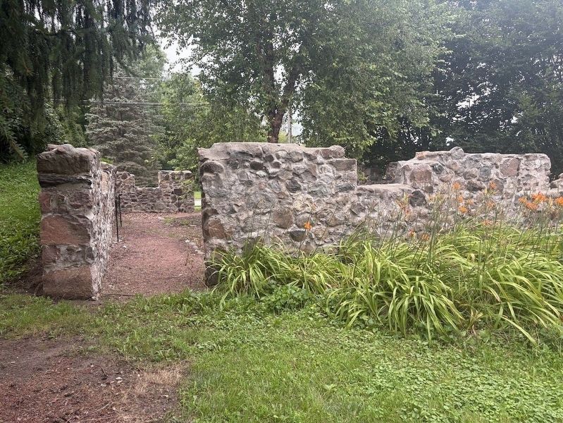
2. Mother Rudd Barn ruins
Several markers have been erected inside the ruins of this barn, which was used in pre-Civil War times as a stop on the Underground Railroad.
Other nearby markers. At least 15 other markers are within walking distance of this marker: "Lamp of Liberty" (here, next to this marker); Lake County's First African American Settler (here, next to this marker); The Mother Rudd Barn (here, next to this marker); a different marker also named Timeline (here, next to this marker); a different marker also named The Mother Rudd Barn (here, next to this marker); Underground Railroad (a few steps from this marker); The Journey (a few steps from this marker); Underground Railroad in Illinois (a few steps from this marker); Esper A. Petersen (about 500 feet away, measured in a direct line); American Legion Post 771 (approx. 0.2 miles away); Logger's Run (approx. ¾ mile away); Aquaman Splashdown (approx. 0.8 miles away); DC Super-Villains Swing (approx. 0.8 miles away); Fiddler's Fling (approx. 0.8 miles away); Great America Scenic Railway (approx. 0.8 miles away). Touch for a list and map of all markers in Gurnee.
More about this marker.
Photographed by Sean P. Flynn, August 9, 2026
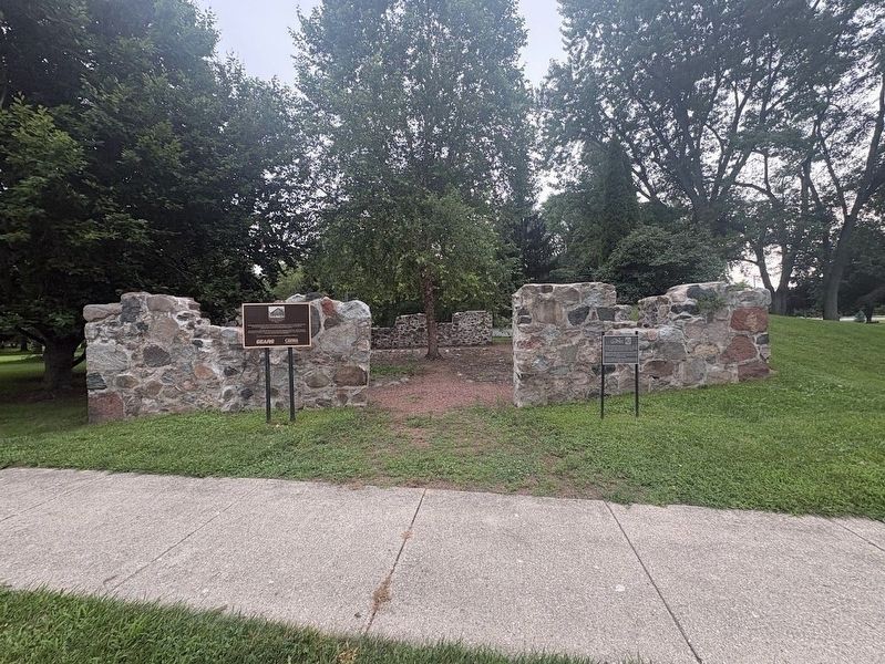
3. Mother Rudd Barn ruins
The marker on the left is about the barn's use as a stop on the Underground Railroad; the one on the right is about Lake County's first settler, Amos Bennett. Markers inside the ruins discuss the Underground Railroad.
There are two other markers in front of the ruins: one about this barn's history as an Underground Railroad stop, and another about Lake County's first African-American settler.
Credits. This page was last revised on August 12, 2026. It was originally submitted on August 10, 2026, by Sean P. Flynn of Oak Park, Illinois. This page has been viewed 18 times since then. Photos: 1, 2, 3. submitted on August 10, 2026, by Sean P. Flynn of Oak Park, Illinois.
