
Catasauqua in Lehigh County, Pennsylvania — The American Northeast (Mid-Atlantic)
The Wagon House
Photographed by Kate Clifford, August 9, 2026
1. The Wagon House Marker
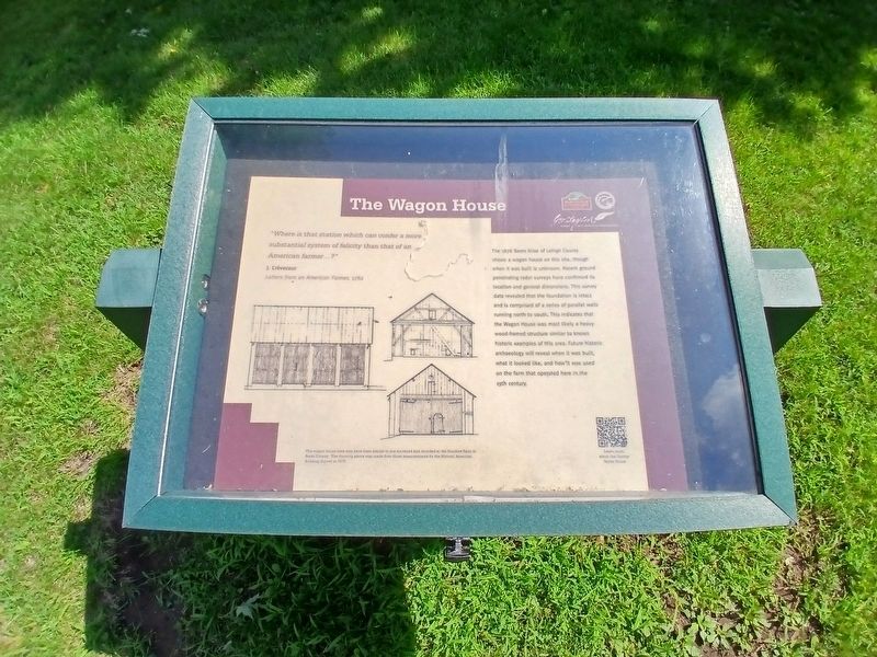
"Where is that station which can confer a more substantial system of felicity than that of an American Farmer...? J. Crevecour
Letters from an American Farmer, 1782
The wagon house here may have been similar to one surveyed and recorded at the Dundore Farm in Berks County. The drawing above was made from those measurements for the Historic American Building Survey in 1976.
Erected by Borough of Catasauqua, George Taylor House, Delaware & Lehigh National Heritage Corridor.
Topics. This historical marker
this page online
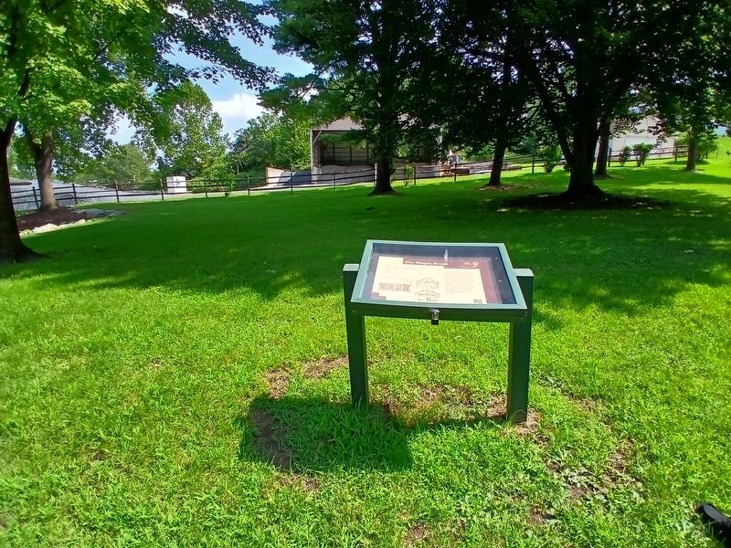
Location. 40° 38.881′ N, 75° 27.977′ W. Marker is in Catasauqua, Pennsylvania, in Lehigh County. It can be reached from the intersection of Poplar Street and S. Front Street, on the left when traveling east. The marker is on the grounds of the George Taylor House. Touch for map. Marker is at or near this postal address: 35 S Front Street, Catasauqua PA 18032, United States of America. Touch for directions.

Regionally, this marker is in Southeast Pennsylvania and in Lehigh Valley. It is also in the American Northeast and in the Mid-Atlantic. Globally, it is in North America, the Western Hemisphere, the Western World, and the Anglosphere. Historically, it finds itself in what was once the Haudenosaunee (Iroquois) Confederacy and also one of the original Thirteen Colonies.
Other nearby markers. At least 8 other markers are within walking distance of this marker: The Mystery Building (within shouting distance of this marker); The Stone Barn (within shouting distance of this marker); George Taylor Declaration Monument
Photographed by Kate Clifford, August 9, 2026
2. The Wagon House Marker
Credits. This page was last revised on August 18, 2026. It was originally submitted on August 11, 2026, by Kate Clifford of Lansdowne, Pennsylvania. This page has been viewed 8 times since then. Photos: 1, 2. submitted on August 11, 2026, by Kate Clifford of Lansdowne, Pennsylvania. • Andrew Ruppenstein was the editor who published this page.
