Riverwalk District in Reno in Washoe County, Nevada — The American Mountains (Southwest)
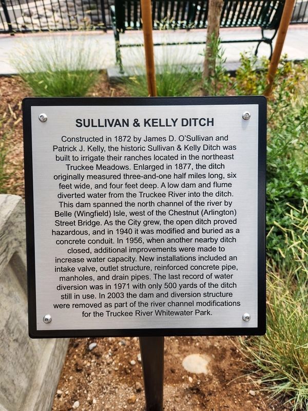
Sullivan & Kelly Ditch
Photographed by Douglass Halvorsen, August 7, 2026
1. Sullivan & Kelly Ditch Marker
Topics. This historical marker is listed in these topic lists: Man-Made Features
this page online
Location. 39° 31.487′ N, 119° 49.021′ W. Marker is in Reno, Nevada, in Washoe County. It is in the Riverwalk District. It is on W 1st Street, on the right when traveling east. Touch for map. Marker is at or near this postal address: W 1st Street, Reno NV 89503, United States of America. Touch for directions.

Regionally, this marker is in the Sierra Nevada and in the Lake Tahoe Basin. It is also in the American Mountain West. Globally, it is in North America, the Western Hemisphere, the Western World, and the Anglosphere. Historically, it finds itself in what was once New Spain and also Mexico’s Alta California.
Other nearby markers. At least 8 other markers are within walking distance of this marker: From Drought to Flood (within shouting distance of this marker); Wingfield Park (within shouting distance of this marker); The Humboldt Trail (about 400 feet away, measured in a direct line); The Truckee River (about 500 feet away); Reno's Beginning (approx. 0.2 miles away); Lake Mansion (approx. 0.2 miles away); First Church of Christ, Scientist, Reno
Photographed by Douglass Halvorsen, August 7, 2026
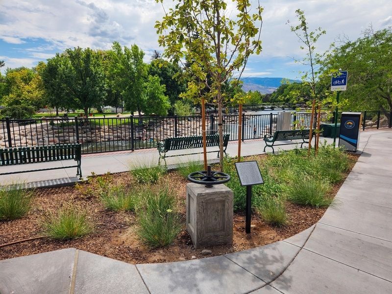
2. Sullivan & Kelly Ditch Marker
Also see . . . Sullivan and Kelly Ditch - Reno, NV (Waymarking.com). The current marker replaced a previous brass plaque at this same location (visible here on Waymarking.com). (Submitted on August 13, 2026, by Douglass Halvorsen of Klamath Falls, Oregon.)
Photographed by Douglass Halvorsen, August 7, 2026
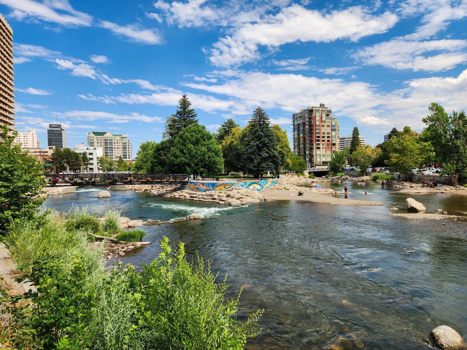
3. Truckee River
View of the Truckee River looking southeast towards Wingfield Park.
Credits. This page was last revised on August 13, 2026. It was originally submitted on August 13, 2026, by Douglass Halvorsen of Klamath Falls, Oregon. This page has been viewed 14 times since then. Photos: 1, 2, 3. submitted on August 13, 2026, by Douglass Halvorsen of Klamath Falls, Oregon. • Andrew Ruppenstein was the editor who published this page.
