Near Shabbona in DeKalb County, Illinois — The American Midwest (Great Lakes)
Shabbona
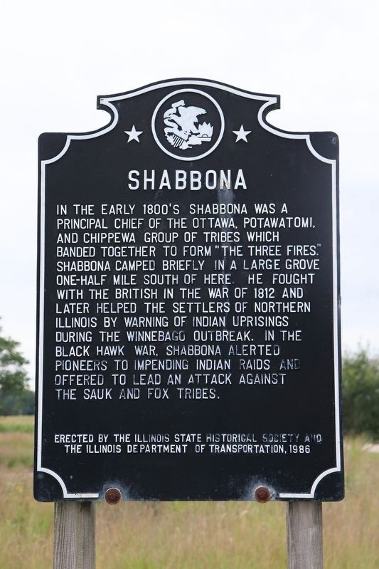
Photographed by Trevor L Whited, August 13, 2022
1. Shabbona Marker
In the early 1800's Shabbona was a principal chief of the Ottowa, Potawatomi, and Chippewa group of tribes which banded together to form "The Three Fires." Shabbona camped briefly in a large grove one-half mile south of here. He fought with the British in the War of 1812 and later helped the settlers of Northern Illinois by warning of Indian uprisings during the Winnebago outbreak. In the Black Hawk War, Shabbona alerted pioneers to impending Indian raids and offered to lead an attack against the Sauk and Fox tribes.
Erected 1986 by Illinois State Historical Society and The Illinois Department of Transportation.
Topics and series. This historical marker is listed in these topic lists: Indigenous Peoples and Communities • Settlements & Settlers • War of 1812 • Wars, US Indian. In addition, it is included in the Black Hawk War, and the Illinois State Historical Society series lists. A significant historical year for this entry is 1812.
Location. 41° 46.073′ N, 88° 51.73′ W. Marker is near Shabbona, Illinois, in DeKalb County. It is at the intersection of East Comanche Avenue (Illinois Route 30) and Indian Road, on the right when traveling east on East Comanche Avenue. Touch for map. Marker is at or near this postal address: 602 East Comanche Avenue, Shabbona IL 60550, United States of America. Touch for directions.

Regionally, this marker is in Northern Illinois. It is also in the American Midwest and in the Corn Belt. Globally, it is in North America, the Western Hemisphere, the Western World, and the Anglosphere. Historically, it finds itself in what was once the territory of the Mississippian Culture and also the Northwest Territory.
Other nearby markers. At least 8 other markers are within 12 miles of this marker, measured as the crow flies: Shabbona Veterans Memorial (approx.
this page online
More about this marker. The original Shabbona marker was erected in 1934 and was replaced by the current marker in 1987.
Also see . . . Shabbona. Wikipedia biographical link including a lot of Northwest (central U.S. NW) history. (Submitted on July 18, 2011, by Chris English of Phoenix, Arizona.)
Credits. This page was last revised on September 28, 2026. It was originally submitted on July 28, 2008, by Kathy Walker of Stafford, Virginia. This page has been viewed 3,422 times since then and 87 times this year. Last updated on August 13, 2026, by Matthew Stevens of Washington, Illinois. Photo 1. submitted on August 21, 2022, by Trevor L Whited of Kokomo, Indiana. • Devry Becker Jones was the editor who published this page.
Editor’s want-list for this marker. A wide shot of the marker in context. • Photos of the 1934 marker (may qualify for its own profile if it had different text). • Can you help?
