Near Elizabeth in Jo Daviess County, Illinois — The American Midwest (Great Lakes)
Galena, Illinois
Photographed by Rev. Ronald Irick, July 15, 2022
1. Galena, Illinois Marker
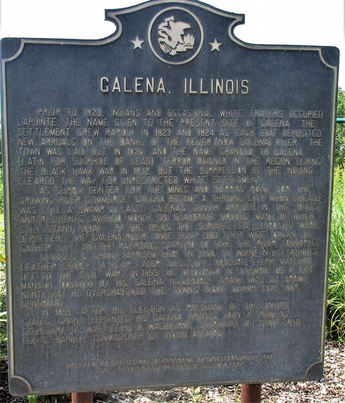
Prior to 1820, Indians and occasional white traders occupied LaPointe, the name given to the present site of Galena. The settlement grew rapidly in 1823 and 1824 as each boat deposited new arrivals on the banks of the Fever (now Galena) River. The town was laid out in 1826, and the name changed to Galena (Latin for sulphide of lead). Terror reigned in the region during the Black Hawk War in 1832, but the suppression of the Indians cleared the way for unrestricted white settlement.
As supply center for the mines and shipping point for the growing river commerce, Galena became a thriving city when Chicago was still a swamp village. Galena's zenith arrived in the 1840's, and residents lavished money on elaborate houses, many of which still stand today. By the 1850's the surface lead deposits were depleted; the Galena River, once over 300 feet wide, began to gather silt; and the railroads started to take the river commerce.
Ulysses S. Grant arrived here in 1860 to work in his father's leather store. A year later this still obscure clerk marched off to the Civil War; in 1865, he returned in triumph to a gift mansion
this page online
In 1869, after his election as President of the United States, Grant appointed his Galena friends John A. Rawlins, Secretary of War; Elihu B. Washburne, Secretary of State; Ely S. Parker, Commissioner of Indian Affairs.
Erected 1987 by Illinois Department of Transportation and The Illinois State Historical Society. (Marker Number 3.)
Topics and series. This historical marker is listed in these topic lists: Indigenous Peoples and Communities • Industry & Commerce • Settlements & Settlers • Wars, US Indian. In addition, it is included in the Illinois State Historical Society series list. A significant historical year for this entry is 1826.
Location. 42° 19.985′ N, 90° 16.338′ W. Marker is near Elizabeth, Illinois, in Jo Daviess County. It is on U.S. 20 0.9 miles west of West Headquarters Road, on the right when traveling west. The marker stands at the Long Hollow Scenic Overlook. Touch for map. Marker is at or near this postal address: 2918 US Hwy 20 W, Hanover IL 61041, United States of America.
Photographed by Rev. Ronald Irick, July 15, 2022
2. Galena, Illinois Marker
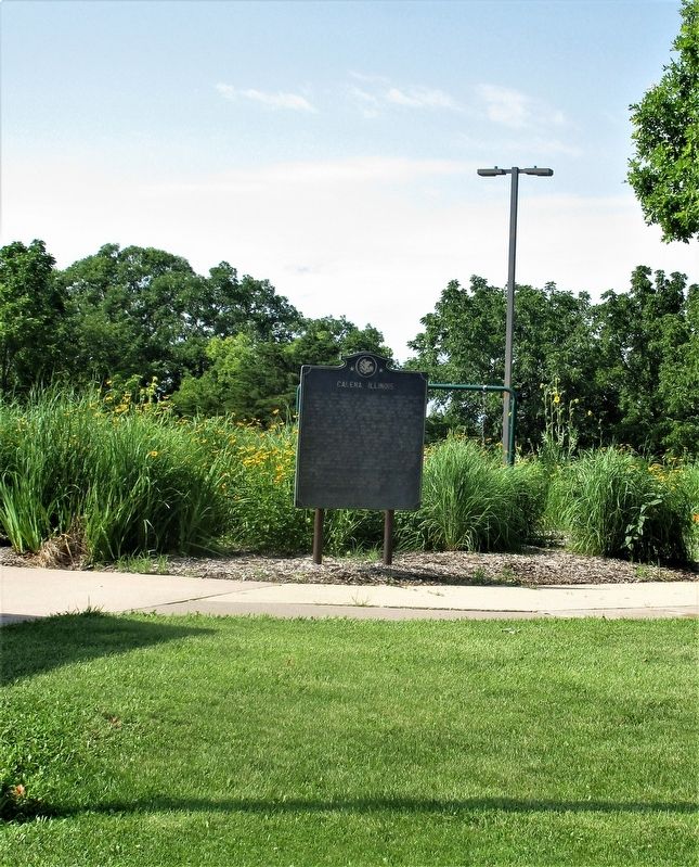
full view of marker

Regionally, this marker is in the American Midwest, in the Corn Belt, in the Driftless Area — Bluff Country, and in the Great River Road Region. Globally, it is in North America, the Western Hemisphere, the Western World, and the Anglosphere. Historically, it finds itself in what was once the territory of the Mississippian Culture and also the Northwest Territory.
Other nearby markers. At least 8 other markers are within 3 miles of this marker, measured as the crow flies: Chicago Great Western Railroad Depot (approx. 2.8 miles away); Voices of the Past (approx. 2.9 miles away); a different marker also named Voices of the Past (approx. 2.9 miles away); a different marker also named Voices of the Past (approx. 3 miles away); a different marker also named Voices of the Past (approx. 3 miles away); a different marker also named Voices of the Past (approx. 3 miles away); a different marker also named Voices of the Past (approx. 3 miles away); Building the Apple River Fort (approx. 3.1 miles away). Touch for a list and map of all markers in Elizabeth.
More about this marker. There have been three different
Photographed by Rev. Ronald Irick, July 15, 2022
3. Galena, Illinois Marker
Photographed by Rev. Ronald Irick, July 15, 2022
4. Galena, Illinois Marker
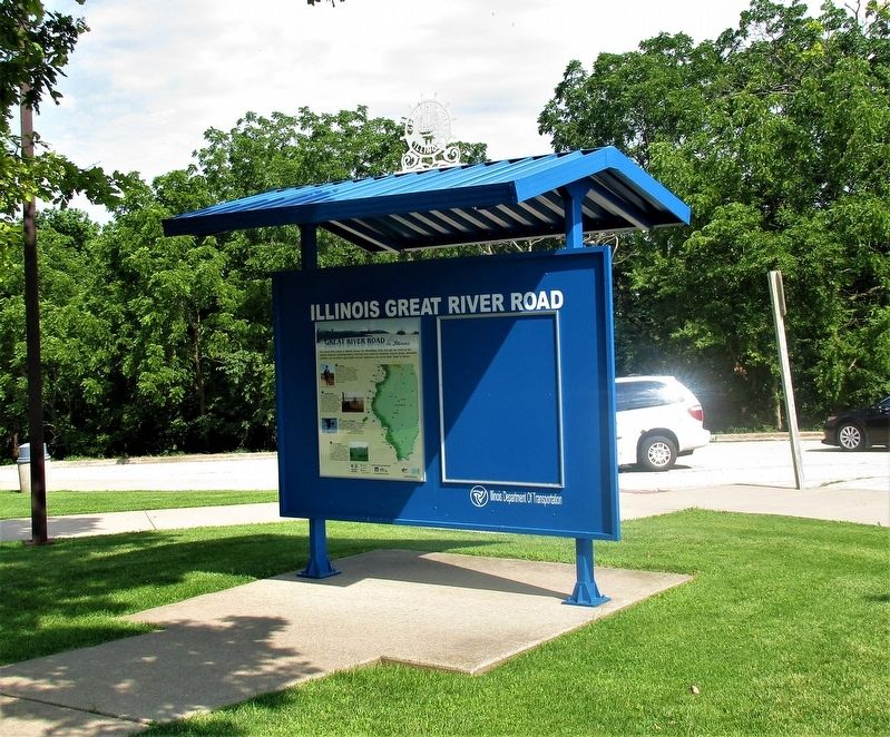
sign kiosk near marker
Credits. This page was last revised on August 14, 2026. It was originally submitted on July 26, 2022, by Rev. Ronald Irick of West Liberty, Ohio. This page has been viewed 376 times since then and 71 times this year. Last updated on August 14, 2026, by Matthew Stevens of Washington, Illinois. Photos: 1, 2, 3, 4. submitted on July 26, 2022, by Rev. Ronald Irick of West Liberty, Ohio. • Devry Becker Jones was the editor who published this page.
