Hull in Plymouth County, Massachusetts — The American Northeast (New England)
Telegraph Hill
Hull, Massachusetts
| — | Fort Revere Park | — |
Photographed by G.W.Bartlett, August 15, 2026
1. Telegraph Hill Marker
Hull, Massachusetts
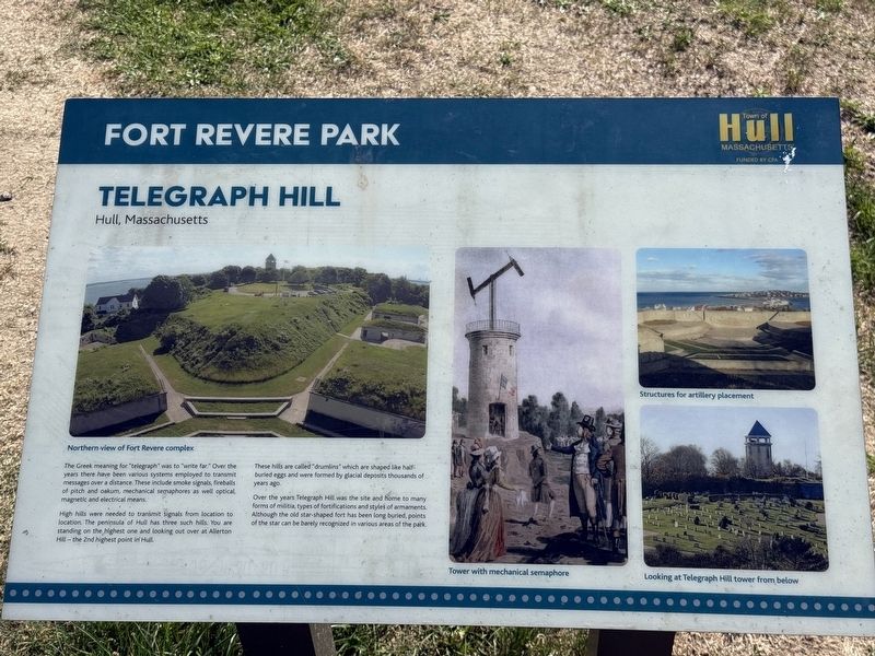
High hills were needed to transmit signals from location to location. The peninsula of Hull has three such hills. You are standing on the highest one and looking out over at Allerton Hill - the 2nd highest point.
These hills are called "drumlins" which are shaped like half buried eggs and were formed by glacial deposits thousands of years ago.
Over the years, Telegraph Hill was the site and home to many forms of militia, types of fortifications and styles of armaments. Although the old star-shaped fort has been long buried, points of the star can be barely recognized in various areas of the park.
(image captions)
— Northern view of Fort Revere complex
— Tower with mechanical semaphore
— Structures for artillery placement
— Looking at Telegraph Hill tower from below
Erected by Town
this page online
Topics. This historical marker is listed in these topic lists: Communications • Forts and Castles • Parks & Recreational Areas • Science & Medicine.
Location. 42° 18.269′ N, 70° 54.194′ W. Marker is in Hull, Massachusetts, in Plymouth County. It is on Farina Road east of Nantasket Avenue, on the left when traveling east. Touch for map. Marker is in this post office area: Hull MA 02045, United States of America. Touch for directions.

Regionally, this marker is on the South Shore. It is also in the American Northeast, in New England, and on the Eastern Seaboard. Globally, it is in the North Atlantic Region, North America, the Western Hemisphere, the Western World, and the Anglosphere. Historically, it finds itself in what was once one of the original Thirteen Colonies.
Other nearby markers. At least 8 other markers are within walking distance of this marker: Fort Independence (a few steps from this marker); The Brewster Islands (a few steps from this marker); In Memory of the French Military Who Died in Hull (a few steps from this marker);
Photographed by G.W.Bartlett, August 15, 2026
2. Telegraph Hill Marker
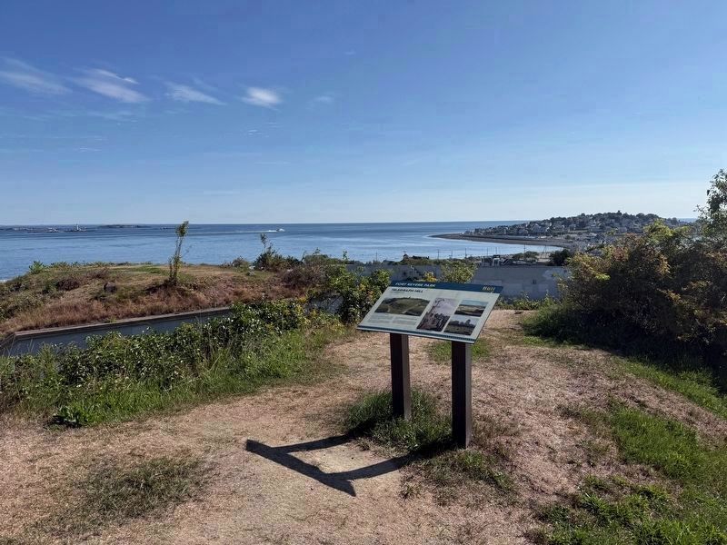
View northeast towards the Atlantic Ocean and Allerton Point.
Also see . . . Telegraphy (Wikipedia).
Telegraphy is the long-distance transmission of messages where the sender uses symbolic codes, known to the recipient, rather than a physical exchange of an object bearing the message. Thus flag semaphore is a method of telegraphy, whereas pigeon post is not.(Submitted on August 19, 2026, by G.W.Bartlett of Hingham, Massachusetts.)
Photographed by G.W.Bartlett, August 15, 2026
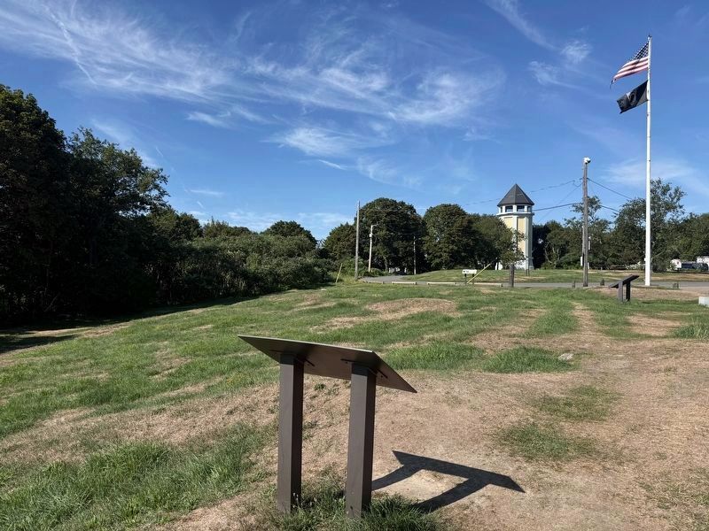
3. Telegraph Hill Marker
Photographed by G.W.Bartlett, August 15, 2026
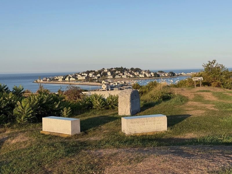
4. Telegraph Hill and Allerton Point
Credits. This page was last revised on August 29, 2026. It was originally submitted on August 18, 2026, by G.W.Bartlett of Hingham, Massachusetts. This page has been viewed 23 times since then. Photos: 1, 2, 3, 4. submitted on August 18, 2026, by G.W.Bartlett of Hingham, Massachusetts. • Michael Herrick was the editor who published this page.
