Oude Westen in Rotterdam, South Holland, Netherlands — Northwestern Europe
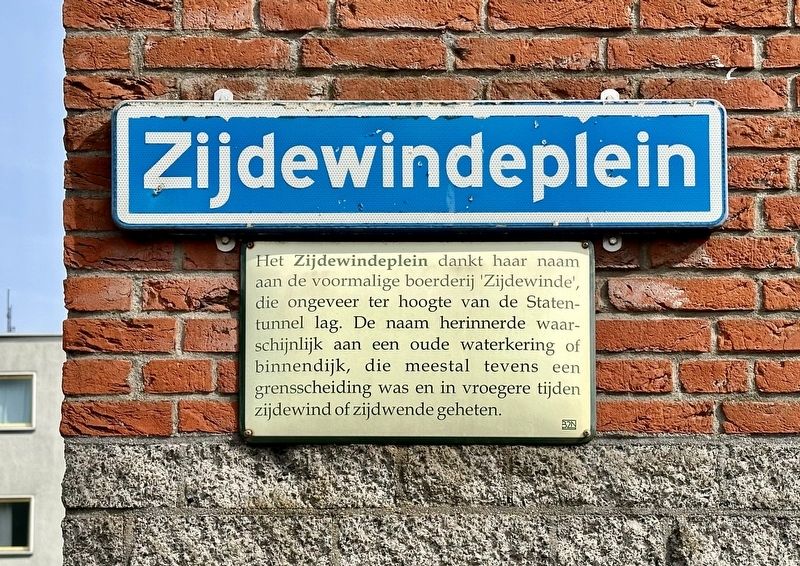
Zijdewindeplein
Photographed by Andrew Ruppenstein, March 20, 2024
1. Zijdewindeplein Marker

Zijdewindeplein takes its name from the former 'Zijdewinde' farm, which was located roughly where the Statentunnel is today. The name likely referred to an old water barrier or inner dike—often serving as a boundary marker as well—known in earlier times as a zijdewinde or zijdwende .
Erected by the 32N.
Topics. This historical marker is listed in these topic lists: Man-Made Features • Roads & Vehicles.
Location. 51° 55.226′ N, 4° 27.925′ E. Marker is in Rotterdam, Zuid-Holland (South Holland). It is in Oude Westen. It is at the intersection of Zijdewindeplein and Palmdwarsstraat on Zijdewindeplein. Touch for map. Marker is at or near this postal address: Palmdwarsstraat 18, Rotterdam, Zuid-Holland 3014 LS, Netherlands. Touch for directions.

Regionally,
this page online
Other nearby markers. At least 8 other markers are within walking distance of this marker: Palmdwarsstraat (within shouting distance of this marker); Zijdewindestraat (within shouting distance of this marker); Tiendplein (within shouting distance of this marker); Coolsestraat (about 90 meters away, measured in a direct line); Tiendstraat / “Tithe Street” (about 90 meters away); Van Speijkstraat - Jan van Speyk (about 90 meters away); Drievriendenstraat / “Three Friends” Street (about 120 meters away); West-Kruiskade (about 120 meters away). Touch for a list and map of all markers in Rotterdam.
Photographed by Andrew Ruppenstein
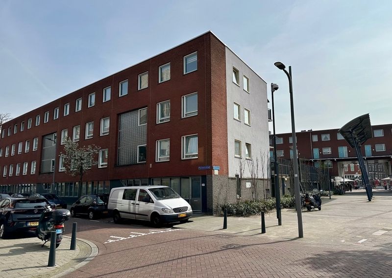
2. Zijdewindeplein Marker - wide view
The marker ís visible here on the corner of the building.
Credits. This page was last revised on August 19, 2026. It was originally submitted on August 19, 2026, by Andrew Ruppenstein of Lamorinda, California. This page has been viewed 7 times since then. Photos: 1, 2. submitted on August 19, 2026, by Andrew Ruppenstein of Lamorinda, California.
