Hull Village in Plymouth County, Massachusetts — The American Northeast (New England)
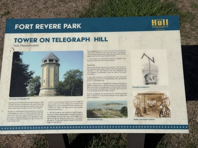
Tower on Telegraph Hill
Hull, Massachusetts
| — | Fort Revere Park | — |
Photographed by G.W.Bartlett, August 15, 2026
1. Tower on Telegraph Hill Marker
Hull, Massachusetts
The Tower is 120 feet high by 25 foot diameter. It contained 118,000 gallons of water in a 20 foot diameter steel tank that went to serve the troops stationed at the fort. The Tower had a secondary benefit as an observation tower for artillery to determine distances for the US Army and Coast Artillery Corps.
In 1673, to warn of Spanish, Dutch and French ships, Hull built a watch tower with a beacon and a watch house. Telegraph Hill, as it was called by the locals, was then only cornfields. By 1696 it was being used to spot ships heading towards Boston.
In 1792 the semaphore was invented by Claude Chappe, a Frenchman, using moveable paddles and blades attached to a tall 'telegraph' structure which sent coded messages from high hill to high hill along the coastal towns. This system extended for 75 miles from Martha's Vineyard to
this page online
These telegraphing systems were not only used to spot and alert the appearance of warships, but also they were used to communicate with commercial merchant ships to determine the best place with the highest prices that their cargo would be offloaded.
In 1844 Samuel Morse patented the electronic telegraph which eventually made all previous systems obsolete.
Present Day
Following the decommissioning of Fort Revere in 1947 by the US War Department, efforts began during the United States Bicentennial celebration in 1976 that resulted in the Fort's restoration and the installation of amphitheaters within the walls of the disused fortifications.
A small stone monument commemorating the French forces that served and died at the Fort in the Revolutionary War, was dedicated on July 14, 1976 (Bastille Day).
In July of 1976 the Tower on Telegraph Hill was placed on the National Register of Historic Places. In 1994 it became part of the Hull Historical District and in 2003 it was designated as an American Water Landmark. The Tower has been periodically open to the public when in mid-2010 it
Photographed by G.W.Bartlett, August 15, 2026
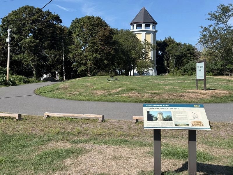
2. Tower on Telegraph Hill Marker (wide)
The Tower on Telegraph Hill was functional from 1903 through World War II. It remains as a major historic landmark of local, regional and national significance.
(Illustration captions)
The Tower on Telegraph Hill
View from the Tower
Moveable Semaphores
Inside a Semephore Station
Erected by Town of Hull Massachusetts.
Topics. This historical marker is listed in these topic lists: Communications • Forts and Castles • Parks & Recreational Areas • Science & Medicine. A significant historical date for this entry is July 14, 1976.
Location. 42° 18.262′ N, 70° 54.215′ W. Marker is in Hull, Massachusetts, in Plymouth County. It is in Hull Village. It is on Farina Road, on the left when traveling east. Touch for map. Marker is in this post office area: Hull MA 02045, United States of America. Touch for directions.

Regionally, this marker is on the South Shore. It is also in the American Northeast, in New England, and on the Eastern Seaboard. Globally, it is in the North Atlantic Region, North America, the Western Hemisphere, the Western World, and the Anglosphere.
Photographed by G.W.Bartlett, August 15, 2026
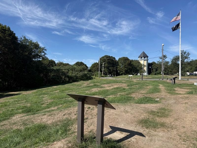
3. Tower on Telegraph Hill Marker (wider)
Other nearby markers. At least 8 other markers are within walking distance of this marker: The Brewster Islands (a few steps from this marker); In Memory of the French Military Who Died in Hull (a few steps from this marker); Fort Independence (a few steps from this marker); Fort Revere Park (a few steps from this marker); Fort Revere Artillery Batteries (within shouting distance of this marker); Telegraph Hill (within shouting distance of this marker); A Fascinating Tale (within shouting distance of this marker); Fort Revere Officers’ Quarters, c. 1903 (about 500 feet away, measured in a direct line). Touch for a list and map of all markers in Hull.
Also see . . . Telegraphy - Wikipedia.
Telegraphy is the long-distance transmission of messages where the sender uses symbolic codes, known to the recipient, rather than a physical exchange of an object bearing the message. Thus flag semaphore is a method of telegraphy, whereas pigeon post is not.(Submitted on August 19, 2026, by G.W.Bartlett of Hingham, Massachusetts.)
Photographed by G.W.Bartlett, August 15, 2026
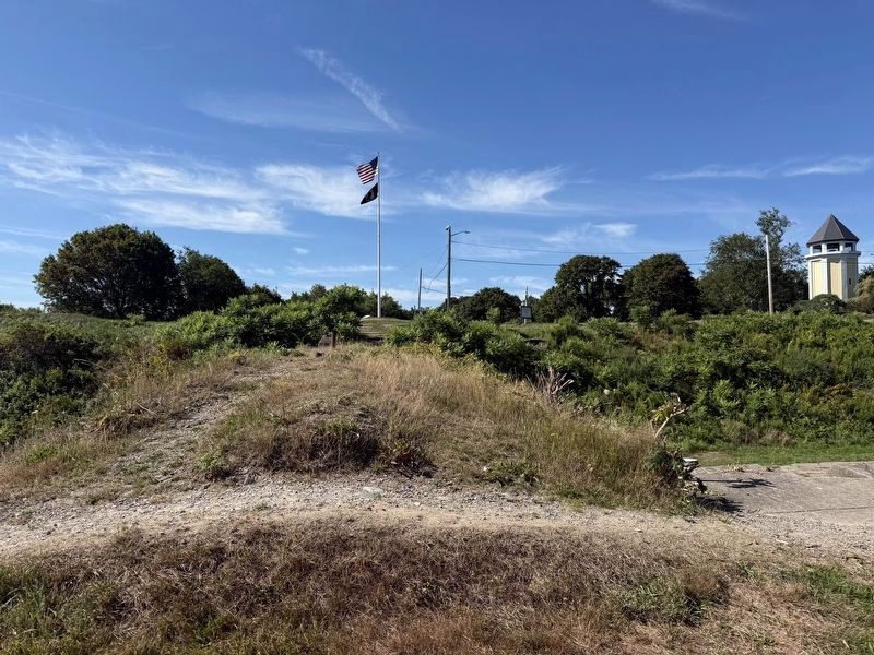
4. Tower on Telegraph Hill from Fort Revere Outer Wall
Credits. This page was last revised on August 28, 2026. It was originally submitted on August 19, 2026, by G.W.Bartlett of Hingham, Massachusetts. This page has been viewed 17 times since then. Photos: 1, 2, 3, 4. submitted on August 19, 2026, by G.W.Bartlett of Hingham, Massachusetts. • Andrew Ruppenstein was the editor who published this page.
