South Hill in Mecklenburg County, Virginia — The American South (Mid-Atlantic)
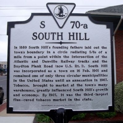
South Hill
Erected 2009 by Department of Historic Resources. (Marker Number S 70-a.)
Topics and series. This historical marker is listed in these topic lists: Agriculture • Industry & Commerce • Railroads & Streetcars • Roads & Vehicles • Settlements & Settlers. In addition, it is included in the Virginia Department of Historic Resources (DHR) series list. A significant historical date for this entry is February 16, 1901.
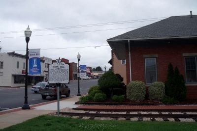
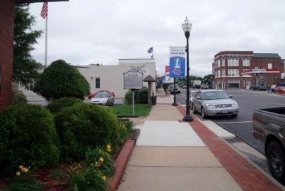
Location. 36° 43.522′ N, 78° 7.773′ W. Marker is in South Hill, Virginia, in Mecklenburg County. Marker is at the intersection of South Mecklenburg Avenue (Virginia Route 637) and Southeast Main Street, on the left when traveling south on South Mecklenburg Avenue. Touch for map. Marker is in this post office area: South Hill VA 23970, United States of America. Touch for directions.
Other nearby markers. At least 8 other markers are within 7 miles of this marker, measured as the crow flies. Veterans Memorial Park (about 500 feet away, measured in a direct line); Mecklenburg County Training School (approx. 0.2 miles away); Salem Chapel (approx. ¼ mile away); Town of La Crosse (approx. 2.6 miles away); Mecklenburg County / Brunswick County (approx. 5½ miles away); Broadnax (approx. 6.2 miles away); Brunswick County / Mecklenburg County (approx. 6.3 miles away); Brunswick County, Virginia (approx. 6.3 miles away). Touch for a list and map of all markers in South Hill.
Also see . . .
1. Town of South Hill, Virginia. Town website homepage (Submitted on May 19, 2010.)
2. South Hill Commercial Historic District. National Register of Historic Places (Submitted on November 10, 2021.)
Credits. This page was last revised on November 4, 2023. It was originally submitted on May 19, 2010, by Bernard Fisher of Richmond, Virginia. This page has been viewed 1,012 times since then and 48 times this year. Photos: 1, 2, 3. submitted on May 19, 2010, by Bernard Fisher of Richmond, Virginia.


