Near Fort Canby in Pacific County, Washington — The American West (Northwest)
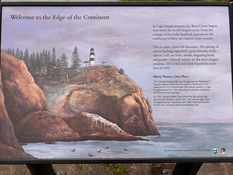
Welcome to the Edge of the Continent
Photographed by Barry Swackhamer, June 9, 2026
1. Welcome to the Edge of the Continent Marker
This is a place where life flourishes. The mixing of waters has long supported a great diversity of life: salmon, crab, sea lions, whales, migrating birds, and people. Chinook Indians are the ares's longest residents. The Lewis and Clark Expedition came here in 1805.
Many Names, One Place
The Chinook Indians call Cape Disappointment "Kah'eese." Spanish explorer Bruno Deceta named it "San Roque" as he sailed past in 1775. British trader John Meares named it "Cape Disappointment" in 1788, reflecting his mistaken impression that there was no river here.
In 1792, Captain Robert Gray piloted the first sailing ship, the Columbia Rediviva up the river. The name he gave Cape Disappointment., "Caper Hancock," didn't stock but his name for the river, in honor of his successful ship, did.
Erected by Washington State Parks, Friends of the Columbia River Gateway.
Topics and series. This historical marker is listed in these
this page online
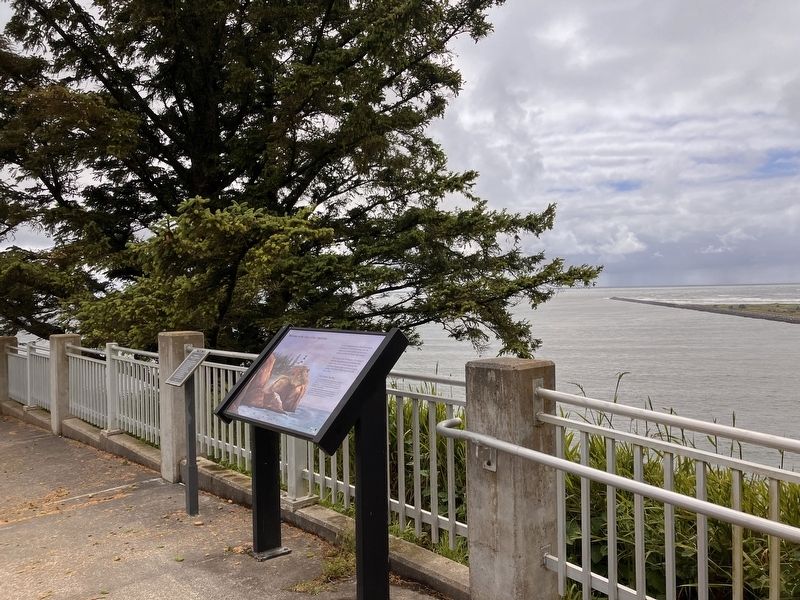
Location. 46° 16.685′ N, 124° 3.236′ W. Marker is near Fort Canby, Washington, in Pacific County. It can be reached from Cape Disappointment near Coast Guard Road. This marker is located at the Lewis and Clark Interpretative Center at the south end of Cape Disappointment Road. Touch for map. Marker is in this post office area: Ilwaco WA 98624, United States of America. Touch for directions.

Regionally, this marker is in Southwest Washington State. It is also on the American Pacific Coast, in the Pacific Northwest, and in the Lewis & Clark Corridor. Globally, it is in North America, on the Ring of Fire, on the Pacific Rim, in the Western Hemisphere, in the Western World, and in the Anglosphere.
Other nearby markers. At least 8 other markers are within 3 miles of this marker, measured as the crow flies: Keeping Pace with Technology (within shouting distance of this marker); Fort Canby (within shouting distance of
Photographed by Barry Swackhamer, June 9, 2026
2. Welcome to the Edge of the Continent Marker
Credits. This page was last revised on August 27, 2026. It was originally submitted on August 21, 2026, by Barry Swackhamer of Brentwood, California. This page has been viewed 15 times since then. Photos: 1, 2. submitted on August 21, 2026, by Barry Swackhamer of Brentwood, California.
