Long Beach in Pacific County, Washington — The American West (Northwest)
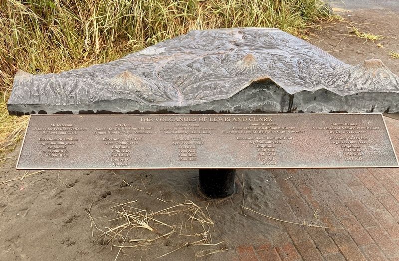
The Volcanos of Lewis and Clark
Photographed by Barry Swackhamer, June 10, 2026
1. The Volcanos of Lewis and Clark Marker
Named for President Jefferson
By Lewis and Clark
Elevation: 10,493 feet Age: 300,000 years
Eruptions:
c. 15,000 B.C.
c. 65,000 B.C.
Mt. Hood
Named for British Admiral Lord Samuel Hood by Cape. Vancouver
Elevation: 11,245 feet
Age: 700,000 years
Eruptions:
1790 A.D.
1740 A.D.
1500 A.D.
400 A.D.
Named by mistake for President John Adams but Hall J. Kelly
Elevation: 12,276 feet
AgeL 500,000 years
Eruptions:
1000 A.D.
5000 B.C.
6500 B.C.
Mount St. Helens
Named for British diplomat Alleyne Fitzerbert, Baron St. Helens by Capt. Vancouver.
Elevation: 9,677 feet (pre-1980)
Age: 50,000 years
Eruptions:
1980 A.D.
1847 A.D.
1550 A.D.
830 A.D.
Mount Rainer
Named for Rear Admiral Peter Rainier by Capt. Vancouver
Elevation 14,410 feet
Age: 600,000 years
Eruptions:
1894 A.D.
1850 A.D.
1503 A.D.
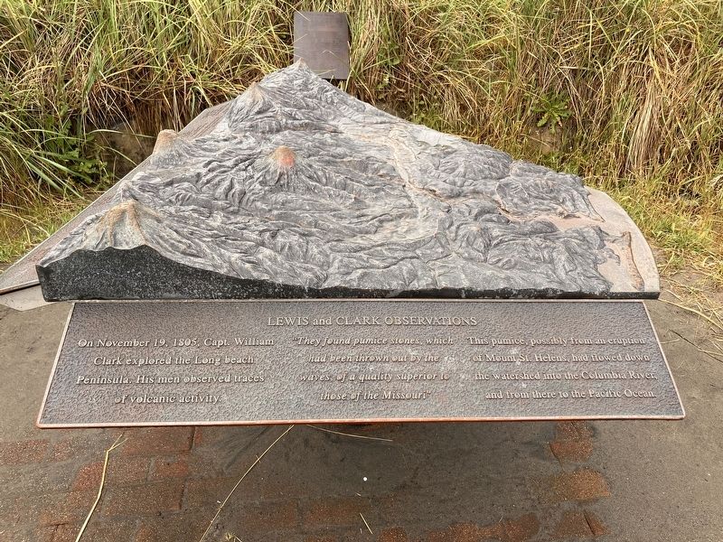
Lewis and Clark Observations
On November 19, 1805 Capt. Willian
this page online
"They found pumice stones, which had bee thrown out by the waves of a quality superior to those of the Mississippi"
This pumice, possibly from an eruption of Mount St. Helens, had flowed down the watershed into the Columbia River, and from there to the Pacific Ocean.
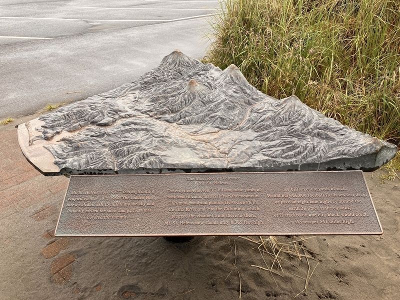
Mt. St. Helens
Topics and series. This historical
Photographed by Barry Swackhamer, June 10, 2026
2. The Volcanos of Lewis and Clark Marker
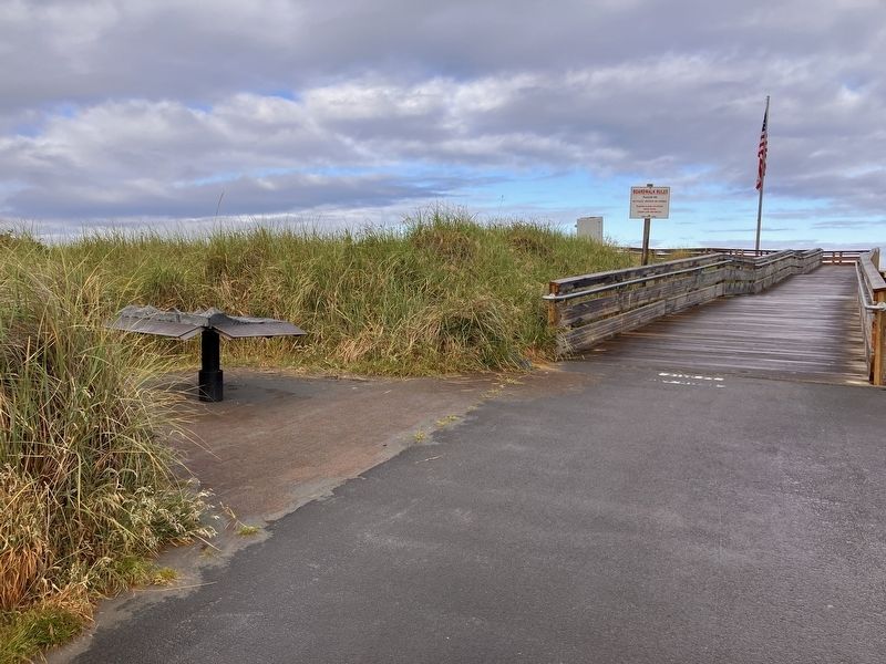
Location. 46° 21.078′ N, 124° 3.689′ W. Marker is in Long Beach, Washington, in Pacific County. It is on Bolstad West near Ocean Beach Boulevard, on the left when traveling west. This marker is located where Bolstad West meets the Pacific Ocean. Touch for map. Marker is in this post office area: Long Beach WA 98631, United States of America. Touch for directions.

Regionally, this marker is in Southwest Washington State. It is also on the American Pacific Coast, in the Pacific Northwest, and in the Lewis & Clark Corridor. Globally, it is in North America, on the Ring of Fire, on the Pacific Rim, in the Western Hemisphere, in the Western World, and in the Anglosphere.
Other nearby markers. At least 8 other markers are within 5 miles of this marker, measured as the crow flies: A Disastrous Year (approx. 2.9 miles away); An Evolving Playground (approx. 2.9 miles away); Clamshell Railroad Driving Tour
Photographed by Barry Swackhamer, June 10, 2026
3. The Volcanos of Lewis and Clark Marker

Photographed by Barry Swackhamer, June 10, 2026
4. The Volcanos of Lewis and Clark Marker
Photographed by Barry Swackhamer, June 10, 2026
5. The Volcanos of Lewis and Clark Marker
Credits. This page was last revised on August 31, 2026. It was originally submitted on August 22, 2026, by Barry Swackhamer of Brentwood, California. This page has been viewed 14 times since then. Photos: 1, 2, 3, 4, 5. submitted on August 22, 2026, by Barry Swackhamer of Brentwood, California.
