Dennis in Barnstable County, Massachusetts — The American Northeast (New England)
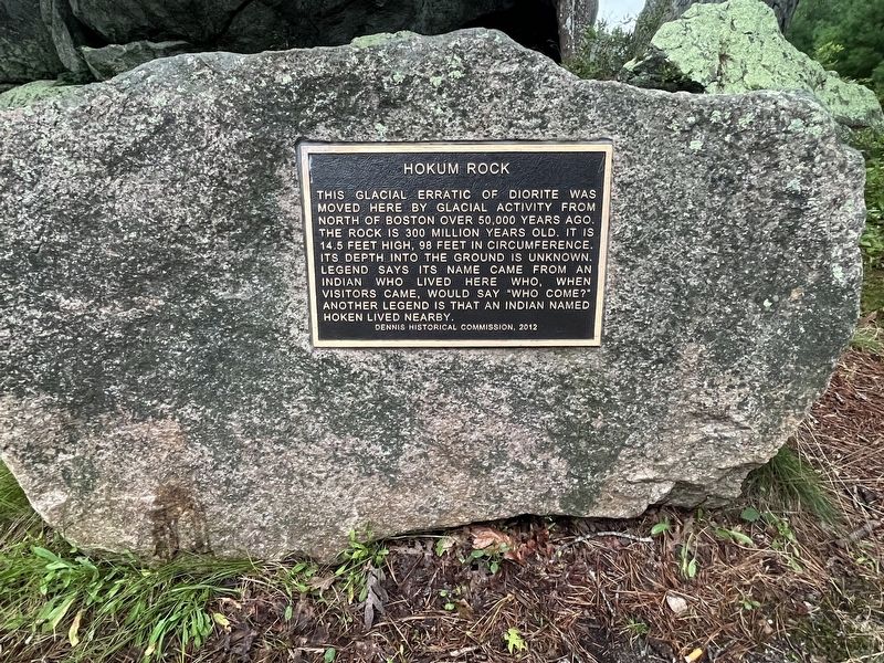
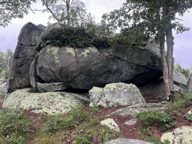
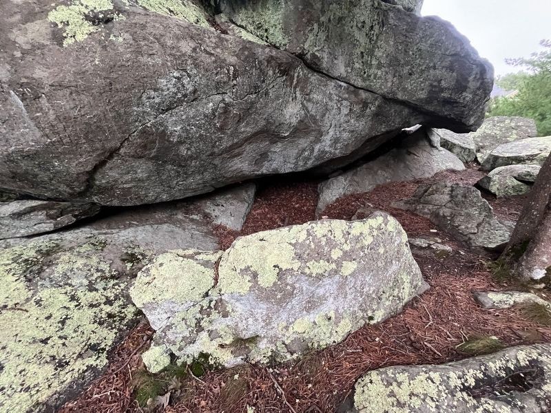
Hokum Rock
Photographed by Ralph Cahoon, August 22, 2026
1. Hokum Rock Marker
Erected 2012 by Dennis Historical Commission.
Topics. This historical marker is listed in these topic lists: Indigenous Peoples and Communities • Natural Features. A significant historical year for this entry is 2012.
Location. 41° 43.982′ N, 70° 10.398′ W. Marker is in Dennis, Massachusetts, in Barnstable County. It is on Hokum Rock Road 0.1 miles east of Karl Lane, on the left when traveling west. Touch for map. Marker is in this post office area: Dennis MA 02638, United States of America. Touch for directions.

Regionally, this marker is on Cape Cod. It is also in the American Northeast, in New England, and on the Eastern Seaboard. Globally, it is in the North Atlantic Region, North America, the Western Hemisphere,
this page online
Other nearby markers. At least 8 other markers are within 4 miles of this marker, measured as the crow flies: Cranberry Cultivation (approx. 1.4 miles away); Jacob Sears Memorial Library (approx. 1.7 miles away); Harris-Black House (approx. 3 miles away); Higgins Farm Windmill (approx. 3 miles away); Hopkins Blacksmith Shop (approx. 3 miles away); History of the South Dennis Railroad Depot (approx. 3.1 miles away); Old South Dennis Cemetery (approx. 3.1 miles away); South Dennis Veterans Memorial (approx. 3.3 miles away).
Photographed by Ralph Cahoon, August 22, 2026
2. Hokum Rock Marker
Photographed by Ralph Cahoon, August 22, 2026
3. Hokum Rock Marker
Credits. This page was last revised on September 4, 2026. It was originally submitted on August 22, 2026, by Ralph Cahoon of Barnstable, Massachusetts. This page has been viewed 21 times since then. Photos: 1. submitted on August 22, 2026, by Ralph Cahoon of Barnstable, Massachusetts. 2, 3. submitted on August 30, 2026, by Ralph Cahoon of Barnstable, Massachusetts. • Andrew Ruppenstein was the editor who published this page.
