
Waubaushene near Tay in Simcoe County, Ontario — Central Canada (North America)
St. Ignace II
Photographed by Tim Boyd, August 20, 2026
1. St. Ignace II Marker

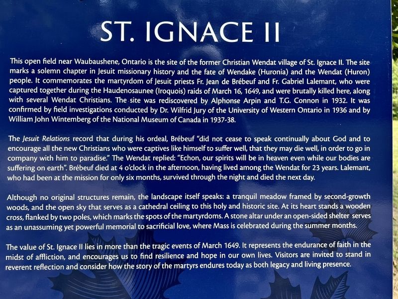
The Jesuit Relations record that during his ordeal, Brébeuf "did not cease to speak continually about God and to encourage all the new Christians who were captives like himself to suffer well, that they may die well, in order to go in company with him to paradise." The Wendat replied: "Echon, our spirits will be in heaven even while our bodies are suffering on earth". Brébeuf
this page online
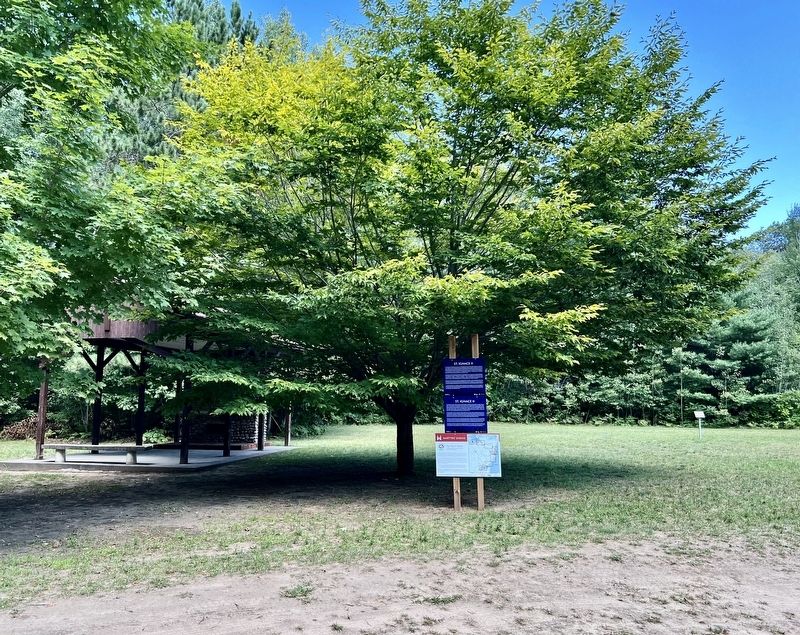
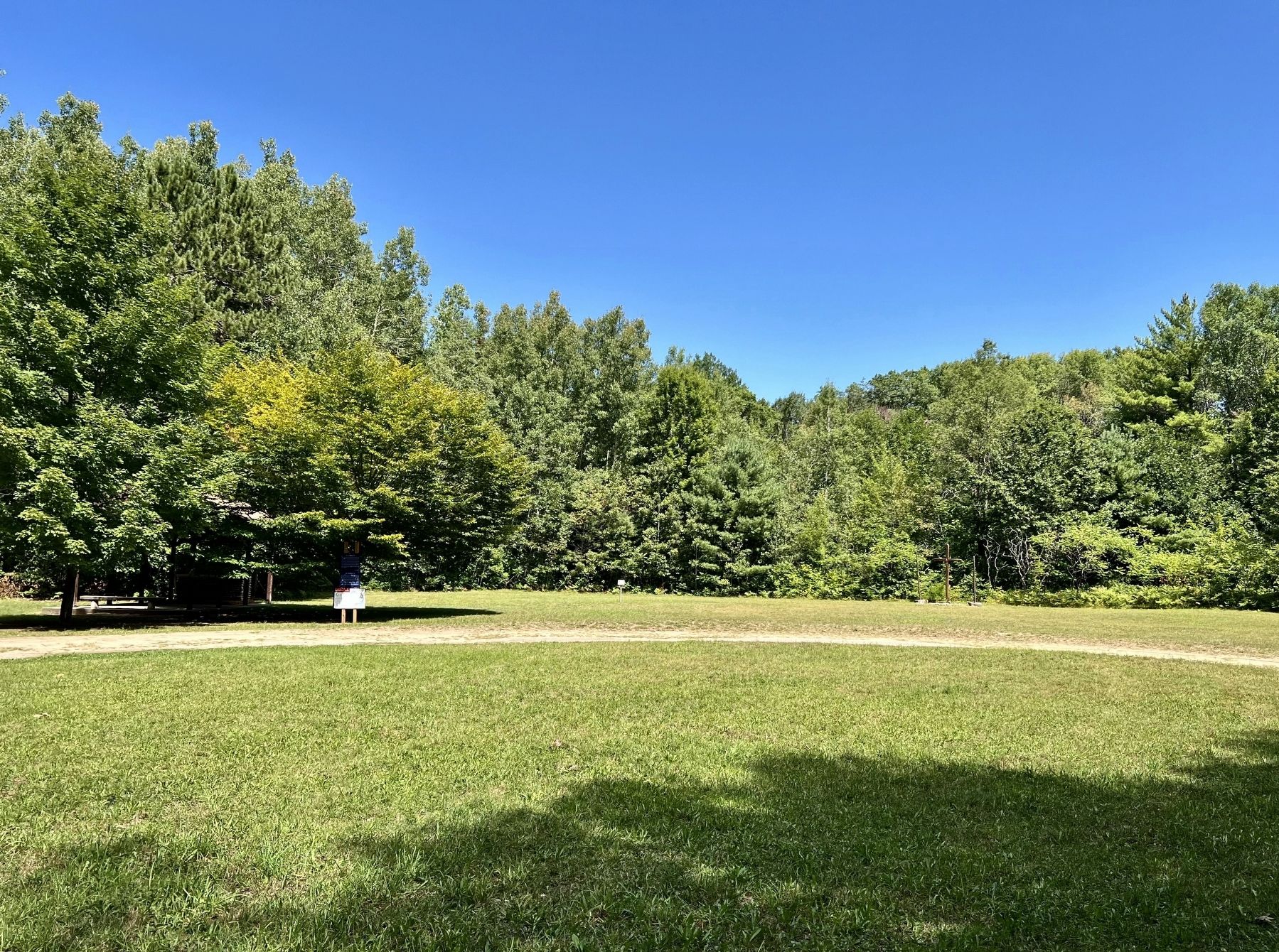
Although no original structures remain, the landscape itself speaks: a tranquil meadow framed by second-growth woods, and the open sky that serves as a cathedral ceiling to this holy and historic site. At its heart stands a wooden cross, flanked by two poles, which marks the spots of the martyrdoms. A stone altar under an open-sided shelter serves as an unassuming yet powerful memorial to sacrificial love, where Mass is celebrated during the summer months.
The value of St. Ignace II lies in more than the tragic events of March 1649. It represents the endurance of faith in the midst of affliction, and encourages us to find resilience and hope in our own lives. Visitors are invited to stand in reverent reflection and consider how the story of the martyrs endures today as both legacy and living presence.
Photographed by Tim Boyd, August 20, 2026
2. St. Ignace II Marker (français)
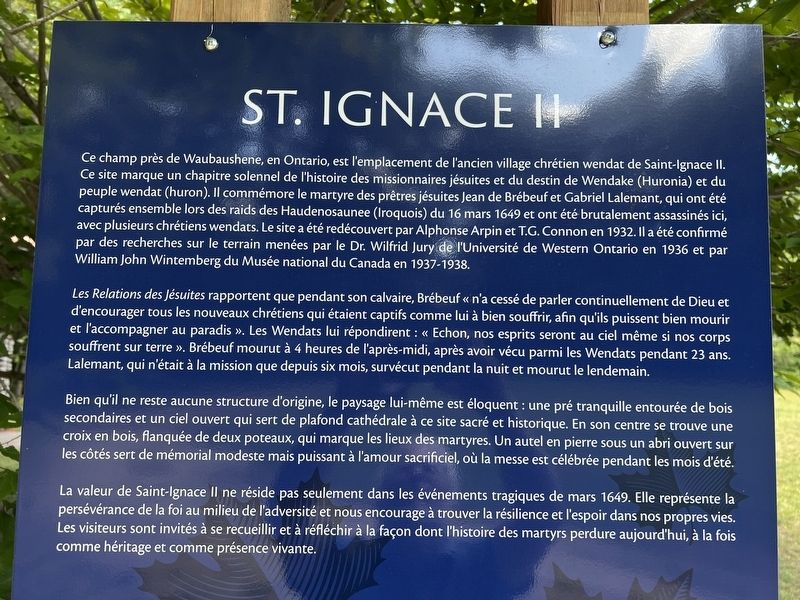
Les Relations des Jésuites rapportent que pendant son calvaire, Brébeuf “n'a cessé de parler continuellement de Dieu et d'encourager tous les nouveaux chrétiens qui étaient captifs comme lui à bien souffrir, afin qu'ils puissent bien mourir et l'accompagner au paradis ». Les Wendats lui répondirent : « Echon, nos esprits seront au ciel même si nos corps souffrent sur terre”. Brébeuf mourut à 4 heures de l'après-midi, après avoir vécu parmi les Wendats pendant 23 ans. Lalemant, qui n'était à la mission que depuis six
Photographed by Tim Boyd, August 20, 2026
3. St. Ignace II Marker
Bien qu'il ne reste aucune structure d'origine, le paysage lui-même est éloquent : une pré tranquille entourée de bois secondaires et un ciel ouvert qui sert de plafond cathédrale à ce site sacré et historique. En son centre se trouve une croix en bois, flanquée de deux poteaux, qui marque les lieux des martyres. Un autel en pierre sous un abri ouvert sur les côtés sert de mémorial modeste mais puissant à l'amour sacrificiel, où la messe est célébrée pendant les mois d'été.
La valeur de Saint-Ignace Il ne réside pas seulement dans les événements tragiques de mars 1649. Elle représente la persévérance de la foi au milieu de l'adversité et nous encourage à trouver la résilience et l'espoir dans nos propres vies. Les visiteurs sont invités à se recueillir et à réfléchir à la façon dont l'histoire des martyrs perdure aujourd'hui, à la fois comme héritage et comme présence vivante.
Topics. This historical marker is listed in these topic lists: Indigenous Peoples and Communities • Religion & Religious Structures • Settlements & Settlers • Wars, Non-US. A significant historical date for this entry is March 16, 1649.
Location. 44° 43.155′ N,
Photographed by Tim Boyd, August 20, 2026
4. Site of St. Ignace II in 2026

Regionally, this marker is in Central Ontario Cottage Country and specifically in Georgian Bay Country. It is also in Central Canada. Globally, it is in North America, on the Great Lakes, in the Western Hemisphere, in the Western World, and in the Anglosphere. Historically, it finds itself in what was once a British colony, the Viceroyalty of New France, the Haudenosaunee (Iroquois) Confederacy, and Rupert’s Land.
Other nearby markers. At least 8 other markers are within 10 kilometers of this marker, measured as the crow flies: Ataronchronon Village (approx. 5.1 kilometers away); The Arrival of the Jesuits in New France (approx. 5.1 kilometers away); The Rick Hansen Bridge (approx. 5.9 kilometers away); The Chippewas of Lakes Huron and Simcoe & the War of 1812 (approx. 6 kilometers away); The Coldwater Mill (approx. 6 kilometers away); George R. Gray (approx. 6 kilometers away); Port Severn Swing Bridge, Lock 45 (approx. 9.4 kilometers away); Water Control Dams/Port Severn – The Secondary Lock (approx. 9.4 kilometers away). Touch for a list and map of all markers in Tay.
Also see . . . Mission of St. Ignace II National Historic Site of Canada (Parks Canada). Heritage value:
The Mission of St. Ignace II was designated a national historic site of Canada in 1955 because: following the capture of the missionaries Jean de Brebeuf and Gabriel Lalemant at Saint-Louis mission, they were brought back to Saint Ignace II and killed here; and the destruction of Saint Ignace II and nearby Saint-Louis, in the same attack by the Iroquois on 16 March 1649, sealed the fate of the Huron-Wendat confederacy, leading to the abandonment of their traditional homeland.(Submitted on August 27, 2026.)
St. Ignace II was one of several Jesuit mission sites in the territory of the Huron-Wendat in the mid-1600s. On 16 March 1649, the Huron-Wendat village and Jesuit mission of St. Ignace II was attacked by the Five Nations Iroquois. Once St. Ignace II was captured, the Iroquois continued west and that same morning attacked the village and mission of St. Louis, capturing the Jesuit missionaries Brebeuf and Lalement. The missionaries were brought back to St. Ignace II and killed there the following day. The raids made clear to the Huron-Wendat that they were not safe from destructive attacks in their homeland, and it initiated a chain of events that led to the abandonment of Huronia in 1650.
Credits. This page was last revised on August 27, 2026. It was originally submitted on August 23, 2026, by Tim Boyd of Hamilton, Ontario. This page has been viewed 11 times since then. Photos: 1, 2, 3, 4. submitted on August 23, 2026, by Tim Boyd of Hamilton, Ontario. • Andrew Ruppenstein was the editor who published this page.
