Eden in Rockingham County, North Carolina — The American South (South Atlantic)
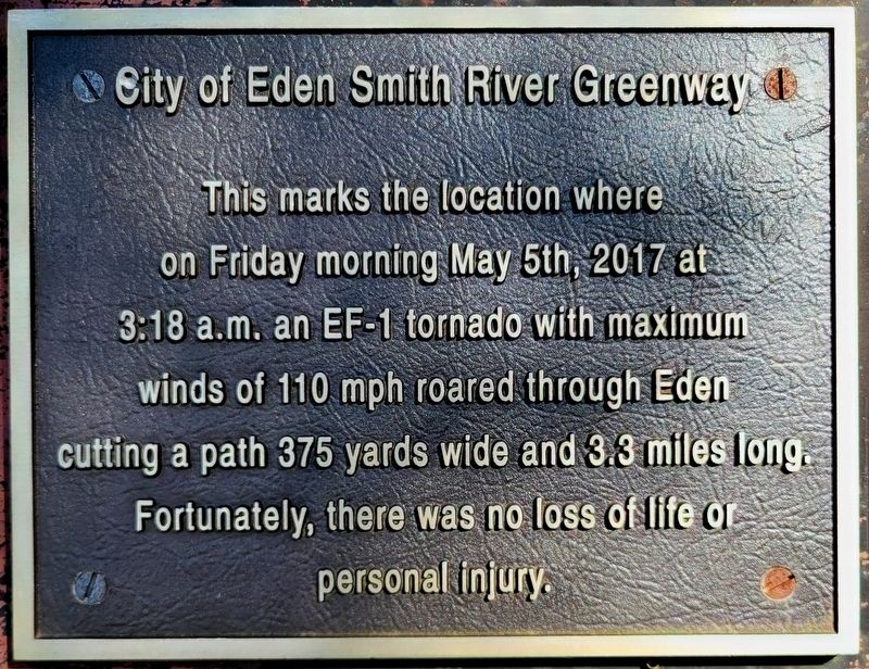
City of Eden - Smith River Greenway
Photographed by C. Ryan Dodson, August 23, 2026
1. City of Eden Smith River Greenway Marker
on Friday morning May 5th, 2017 at
3:18 a.m. an EF-1 tornado with maximum
winds of 110 mph roared through Eden
cutting a path 375 yards wide and 3.3 miles long.
Fortunately, there was no loss of life or
personal injury.
Erected 2018 by City of Eden.
Topics. This historical marker is listed in these topic lists: Disasters • Notable Events • Parks & Recreational Areas. A significant historical date for this entry is May 5, 2017.
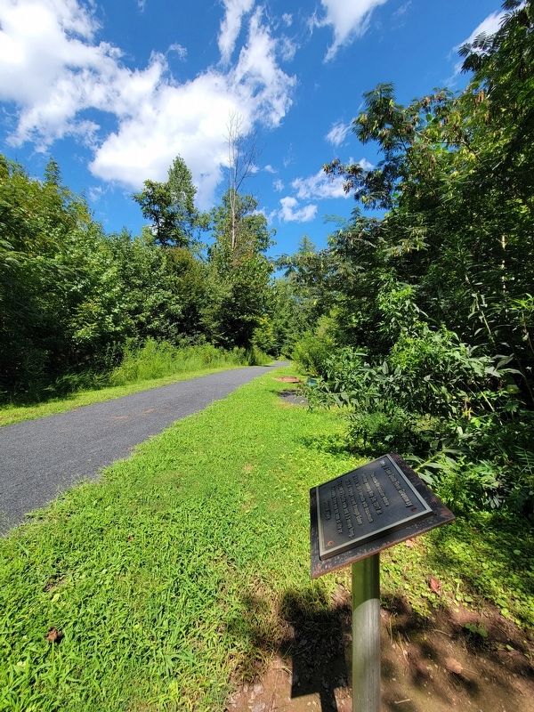
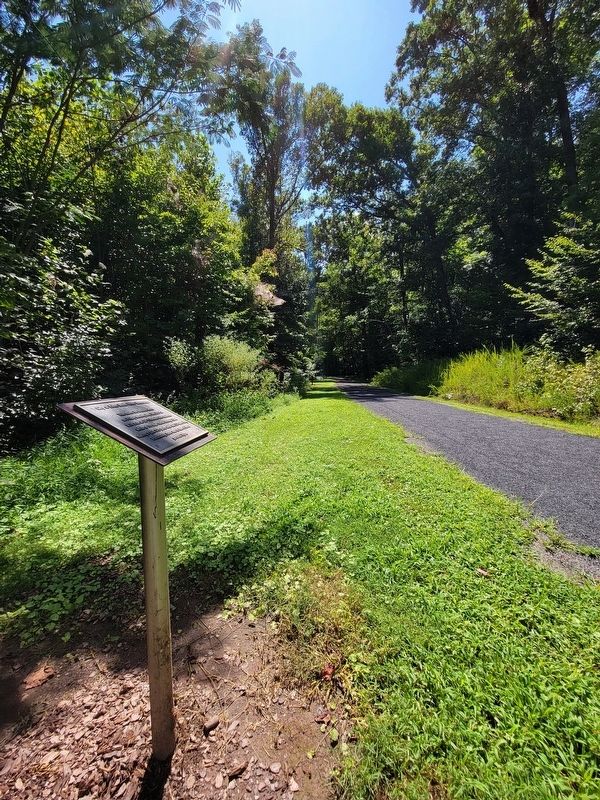
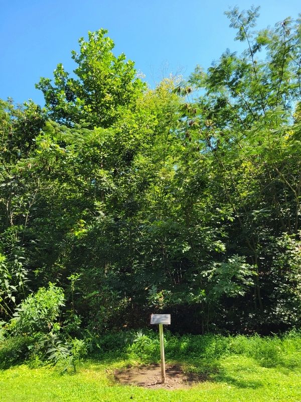
Location. 36° 29.657′ N, 79° 44.839′ W. Marker is in Eden, North Carolina, in Rockingham County. It can be reached from Smith River Greenway. The Marker is located along the Smith River Greenway. It is between panels 4 and 5 of the children's interactive story trail behind the Eden family YMCA. Touch for map. Marker is at or near this postal address: 301 South Kennedy Street, Eden NC 27288, United States of America. Touch for directions.

Regionally, this marker is in North Carolina’s Piedmont. It is also in the American South and specifically in the Upper South. Globally, it is in North America, the Western Hemisphere, the Western World, and
this page online
Other nearby markers. At least 8 other markers are within one mile of this marker, measured as the crow flies: Jesse Burchell Tennis Center (approx. ¼ mile away); Griggs v. Duke Power Co. (approx. half a mile away); Luther H. Hodges (approx. 0.8 miles away); “Land of Eden” (approx. 0.9 miles away); Industrial Education Centers (approx. 0.9 miles away); Barnett Canal (approx. one mile away); “River boat Men: Dan River, 1792 – 1892” (approx. one mile away); Leaksville Cotton Mill (approx. one mile away). Touch for a list and map of all markers in Eden.
Also see . . . Smith River Greenway reconstruction after tornado.
The city plans to observe the disaster by placing a plaque along the greenway.(Submitted on August 23, 2026, by C. Ryan Dodson of Danville, Virginia.)
Photographed by C. Ryan Dodson, August 23, 2026
2. City of Eden - Smith River Greenway Marker
Photographed by C. Ryan Dodson, August 23, 2026
3. City of Eden - Smith River Greenway Marker
Photographed by C. Ryan Dodson, August 23, 2026
4. City of Eden - Smith River Greenway Marker
Photographed by C. Ryan Dodson, August 23, 2026
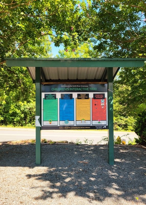
5. Smith River Greenway
The Marker is located along the Smith River Greenway. It is between panels 4 and 5 of the children's interactive story trail behind the Eden family YMCA.
Credits. This page was last revised on August 29, 2026. It was originally submitted on August 23, 2026, by C. Ryan Dodson of Danville, Virginia. This page has been viewed 19 times since then. Photos: 1, 2, 3, 4, 5. submitted on August 23, 2026, by C. Ryan Dodson of Danville, Virginia. • Andrew Ruppenstein was the editor who published this page.
