Delmar in Winston County, Alabama — The American South (East South Central)
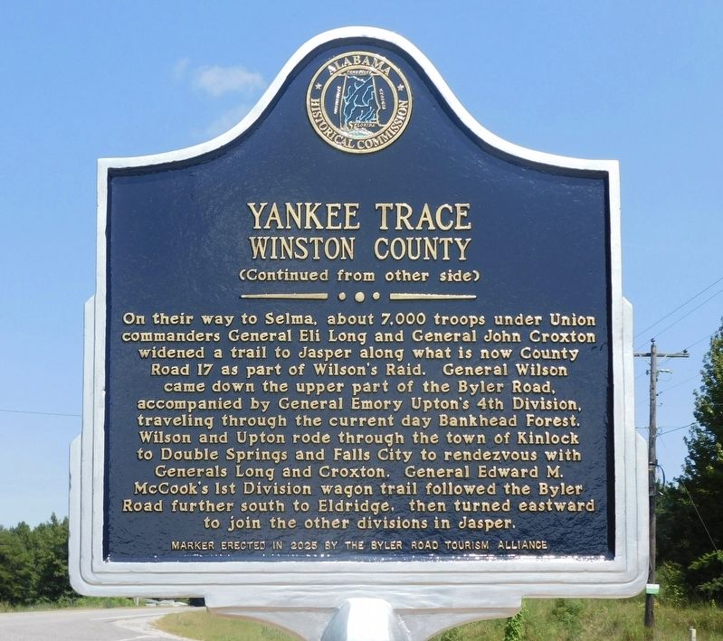
Yankee Trace
Winston County

Photographed by Jimmy Emerson, August 23, 2026
1. Yankee Trace Marker
Just south of the town of Delmar and traveling in an easterly direction before joining U.S. Highway 278, Yankee Trace, known now as County Road 17, crosses over the Byler Road. As was one of the paths that U.S. General James Harrison Wilson's 13,480 Union cavalrymen traveled through northwest Alabama in March 1865, the road became known as Yankee Trace. Wilson's men went on to fight against Confederate General Nathan Bedford Forrest's forces in the Battle of Selma on April 2, 1865. The Union cavalry operation through Alabama in March 1865 became known as Wilson's Raid.
(Reverse Side)
On their way to Selma, about 7,000 troops under Union commanders General Eli Long and General John Croxton widened a trail to Jasper along what is now County Road 17 as part of Wilson's Raid. General Wilson came down the upper part of the Byler Road, accompanied by General Emory Upton's 4th Division, traveling through the current day Bankhead Forest. Wilson and Upton rode through the town of Kinlock to Double Springs and Falls City to rendezvous with Generals Long and Croxton. General Edward M. McCook's 1st Division
this page online
Erected 2026 by Byler Road Tourism Alliance and Alabama Historical Commission.
Topics. This historical marker is listed in these topic lists: Roads & Vehicles • War, US Civil. A significant historical year for this entry is 1865.
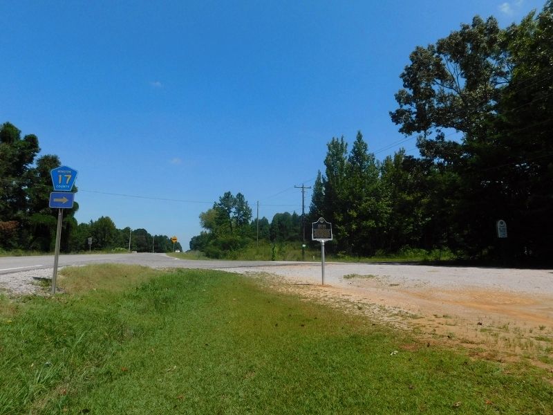
Location. 34° 9.072′ N, 87° 36.506′ W. Marker is in Delmar, Alabama, in Winston County. It is at the intersection of State Highway 13 and Yankee Trace (County Road 17), on the right when traveling north on State Highway 13. Touch for map. Marker is in this post office area: Haleyville AL 35565, United States of America. Touch for directions.

Regionally, this marker is in North Alabama. It is also in the American South, specifically in the Deep South, in Appalachia, and specifically in Southern Appalachia. Globally, it is in North America, a Gulf of Mexico state, the Western Hemisphere, the Western World, and the Anglosphere. Historically, it finds itself in what was once the territory of the Mississippian Culture, one of the Confederate States of America, and the
Photographed by Jimmy Emerson, August 23, 2026
2. Yankee Trace Marker
Other nearby markers. At least 8 other markers are within 6 miles of this marker, measured as the crow flies: Byler Road Displaced by the Railroad (approx. 4 miles away); The Free State of Winston / Natural Bridge (approx. 4 miles away); Byler Road / History of Natural Bridge (approx. 4.3 miles away); Natural Bridge Park (approx. 4.3 miles away); Bald Rock / Rock House (approx. 4.4 miles away); Haleyville Ice Company (approx. 5 miles away); First 9-1-1 Call (approx. 5.2 miles away); The Honorable Frank Minis Johnson, Jr. (approx. 5.3 miles away).
More about this marker. Marker was actually installed sometime between June 13, 2026 and August 23, 2026.
Photographed by Jimmy Emerson, August 23, 2026
3. Yankee Trace Marker
Credits. This page was last revised on August 26, 2026. It was originally submitted on August 24, 2026, by Jimmy Emerson of Dalton, Georgia. This page has been viewed 17 times since then. Photos: 1, 2, 3. submitted on August 24, 2026, by Jimmy Emerson of Dalton, Georgia. • James Hulse was the editor who published this page.
