Chatham in Chatham-Kent, Ontario — Central Canada (North America)
Skirmish at the Forks
Monday, October 4, 1813
| — | Tecumseh Parkway | — |

Photographed by Dale K. Benington, July 23, 2013
1. Skirmish at the Forks Marker
Close-up view, looking west, of the English text side of the historical marker.
Robert McAfee, a member of Colonel Johnson's Kentucky Mounted Regiment, described the skirmish in his journal. He wrote:
Oct 4: …a woman … informed us that about six miles above the River forked, that there was a large bridge across the mouth of the Right hand fork and a mill and a bridge about about about a mile and a half up the fork where the Indians were encamped [sic] and she expected that they would make a stand and fight … about twelve o'clock the firing commenced on our left and our cannon opened at the Bridge at the mouth of creek … we got in sight of the Creek, which when we approached the firing became general along our lines which we immediately formed in order of battle and my company came up directly at the Bridge and Indian Camp which a few fires soon routed … several of my company narrowly escaped being killed or wounded, but half an hour put us in possession of the Bridge and whole Indian Camp … In this fight Captain Rice and Combs of our Regiment each had a man killed and Sergeant-Major Dickison was shot thro [sic] the thigh and had his horse killed under him. Captain Craig was wounded in the shoulder …
Erected by Tecumseh Parkway.
Topics. This historical marker is listed in these topic lists: Colonial Era • Indigenous Peoples and Communities • War of 1812.
Location. Marker is missing. It was located near 42° 24.399′ N, 82° 11.067′ W. Marker was in Chatham, Ontario, in Chatham-Kent. It could be reached from the intersection of William Street North and Murray Street, on the left when traveling north. The historical marker is located in Chatham, at the point of "The Forks" of the Thames River, in Tecumseh Park, situated along a park walkway. Touch for map. Marker was at or near this postal address: 89 William Street
this page online

Regionally, this marker was in the Southwest Ontario Area and in Southwestern Ontario. It was also in Central Canada. Globally, it was in North America, on the Great Lakes, in the Western Hemisphere, in the Western World, and in the Anglosphere. Historically, it found itself in what was once a British colony, the Viceroyalty of New France, the Haudenosaunee (Iroquois) Confederacy, and Rupert’s Land.
Other nearby markers. At least 8 other markers are within walking distance of this location: Casualties of the Skirmish / Les Pertes Survenues Lors de l'Escarmouche (here, next to this marker); a different marker also named Skirmish at the Forks (here, next to this marker); The Forks (here, next to this marker); Tecumseh (within shouting distance of this marker); Chatham Blockhouse (within shouting distance of this marker); Kent Regiment (about 90 meters away, measured in a direct line); Chatham Armoury (about 150 meters away); Carnegie Library (approx. 0.4 kilometers away). Touch for a list and map of all markers in Chatham.
Another marker is no longer nearby.

Photographed by Dale K. Benington, July 23, 2013
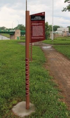
2. Skirmish at the Forks Marker
Close-up view, looking east, of the French text side of the historical marker.
Photographed by Dale K. Benington, July 23, 2013
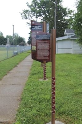
3. Skirmish at the Forks Marker
View of the historical marker, looking west, with a view of The Fork of the Thames River in the background.
Photographed by Dale K. Benington, July 23, 2013
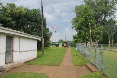
4. Skirmish at the Forks Marker
View, looking east, of the historical marker, with a distant view of Tecumseh Park in the background
Photographed by Dale K. Benington, July 23, 2013
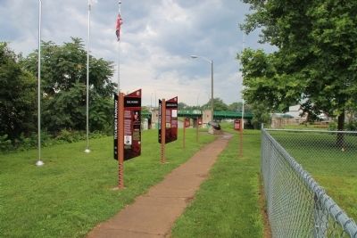
5. Skirmish at the Forks Marker
View of the park walkway that leads to "The Forks" of the Thames River, where several Tecumseh Parkway historical markers are located.
Photographed by Dale K. Benington, July 23, 2013
6. Skirmish at the Forks Marker
View of "The Forks" of the Thames River, where several Tecumseh Parkway historical markers are located.
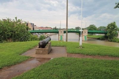
Photographed by Dale K. Benington, July 23, 2013
7. View of The Forks
View of the cannon situated at "The Forks" of the Thames River.
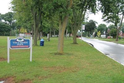
Photographed by Dale K. Benington, July 23, 2013
8. Tecumseh Park Sign
View, looking north on William Street North, of the sign for Tecumseh Park, where the historical marker is located, and a distant view of the Tecumseh Parkway sign used to alert motorists of the presence of these historical markers.
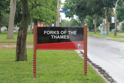
Photographed by Dale K. Benington, July 23, 2013
9. The Forks of the Thames Sign
View, looking north on William Street North, of the Tecumseh Parkway sign used to alert motorists of the presence of these historical markers in Tecumseh Park.
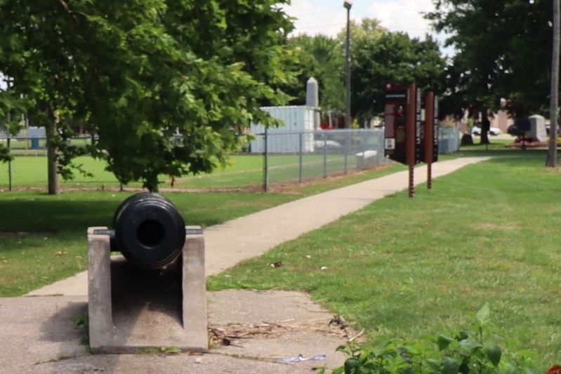
Photographed by Trevor L Whited, August 8, 2026
10. Skirmish at the Forks Marker Site
Only 2 markers out of the 5 remain.
Credits. This page was last revised on August 28, 2026. It was originally submitted on January 20, 2014, by Dale K. Benington of Toledo, Ohio. This page has been viewed 877 times since then and 45 times this year. Last updated on August 27, 2026, by Trevor L Whited of Kokomo, Indiana. Photos: 1, 2, 3, 4, 5, 6, 7, 8, 9. submitted on January 20, 2014, by Dale K. Benington of Toledo, Ohio. 10. submitted on August 27, 2026, by Trevor L Whited of Kokomo, Indiana. • Devry Becker Jones was the editor who published this page.
Editor’s want-list for this marker. Transcription of the French text • Can you help?
