Downtown in Santa Ana in Orange County, California — The American West (Pacific Coastal)
El Camino Real Bell
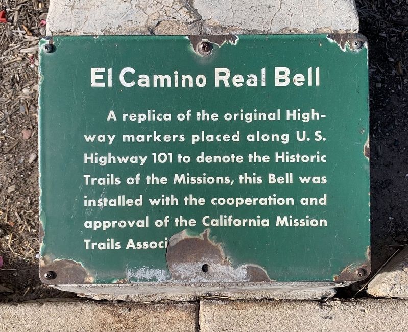
Photographed by Liam Williams, August 27, 2026
1. El Camino Real Bell Marker
Erected by California Mission Trails Association.
Topics. This historical marker is listed in these topic lists: Man-Made Features • Roads & Vehicles.
Location. 33° 45.002′ N, 117° 52.146′ W. Marker is in Santa Ana, California, in Orange County. It is in Downtown. It can be reached from West Santa Ana Boulevard, on the right when traveling west. Touch for map. Marker is at or near this postal address: 211 W Santa Ana Boulevard, Santa Ana CA 92701, United States of America. Touch for directions.

Regionally, this marker is in Greater Los Angeles and in the Peninsular Ranges. It is also on the American Pacific Coast. Globally, it is in North America, on the Ring of Fire, on the Pacific Rim, in the Western Hemisphere, in the Western World, and in the Anglosphere. Historically, it finds itself in what was once New Spain and also Mexico’s
this page online
Other nearby markers. At least 8 other markers are within 2 miles of this marker, measured as the crow flies: Orange County Courthouse (a few steps from this marker); Orange County's first permanent jail (within shouting distance of this marker); Dr. Howe-Waffle House and Carriage House (within shouting distance of this marker); The Masonic Temple (about 400 feet away, measured in a direct line); Santa Ana's Birthplace (about 500 feet away); Dragon Confectionary (approx. 0.2 miles away); Delta III Rocket (approx. 1.6 miles away); Cóyotl - Coyote (approx. 2 miles away). Touch for a list and map of all markers in Santa Ana.
Other markers no longer nearby. The Episcopal Church of the Messiah (was about 700 feet away but has been confirmed missing); Chinatown Memorial 2024 (was approx. ¼ mile away but has been confirmed missing).
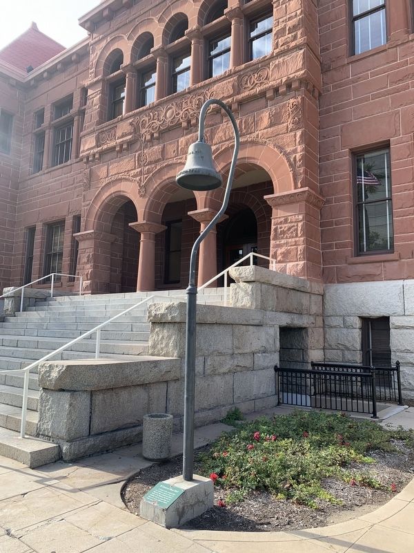
Photographed by Liam Williams, August 27, 2026
2. El Camino Real bell replica and marker
Credits. This page was last revised on August 27, 2026. It was originally submitted on August 27, 2026, by Liam Williams of Irvine, California. This page has been viewed 14 times since then. Photos: 1, 2. submitted on August 27, 2026, by Liam Williams of Irvine, California. • Andrew Ruppenstein was the editor who published this page.
