Mille Lacs Kathio State Park near Onamia in Mille Lacs County, Minnesota — The American Midwest (Upper Plains)
House & Home
Kathio Landmark Trail
| — | National Historic Landmark District | — |
Photographed by McGhiever, May 29, 2025
1. House & Home Marker
Summer and Winter Houses
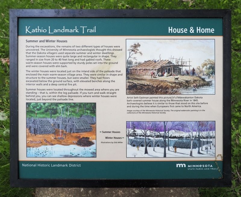
During the excavations, the remains of two different types of houses were uncovered. The University of Minnesota archaeologists thought this showed that the Dakota villagers used separate summer and winter dwellings. Summer-season houses were quite large and rectangular in shape. They ranged in size from 20 to 40 feet long and had gabled roofs. These warm-season houses were supported by sturdy poles set into the ground and were covered with elm bark.
The winter houses were located just on the inland side of the palisade that enclosed the main warm-season village area. They were similar in shape and structure to the summer houses, but were smaller. They had floors excavated below the ground surface, with elevated benches along the interior walls and a deep central fire pit.
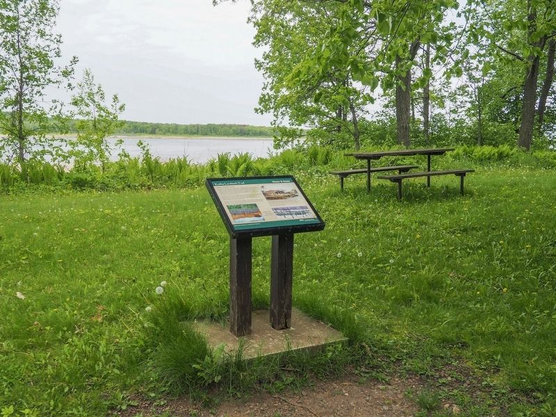
Summer houses were located throughout the mowed area where you are standing – that is, within the log palisade. If you turn and walk straight behind you, you can see shallow depressions where winter houses were located, just beyond the palisade line.
Artist Seth Eastman painted this picture of a Mdewakanton Dakota
this page online
Image courtesy of the Minnesota Historical Society. The original watercolor painting is in the collections of the Minnesota Historical Society.
🞀 Summer Houses
Winter Houses 🞂
Illustrations by Dick Miller
Erected by Minnesota State Parks and Trails.
Topics. This historical marker is listed in these topic lists: Anthropology & Archaeology • Indigenous Peoples and Communities.
Location. 46° 8.727′ N, 93° 46.545′ W. Marker is near Onamia, Minnesota, in Mille Lacs County. It is in Mille Lacs Kathio State Park. It can be reached from the road to Ogechie Campground. The marker is on the Kathio Landmark Trail. Touch for map. Marker is in this post office area: Onamia MN 56359, United States of America. Touch for directions.

Regionally, this marker is in Central Minnesota. It is also in the American Midwest and in the Corn Belt. Globally, it is in North
Photographed by McGhiever, May 29, 2025
2. House & Home Marker at the Cooper Site on the Kathio Landmark Trail
Other nearby markers. At least 8 other markers are within walking distance of this marker: A Wealth of History (a few steps from this marker); Archaeology Uncovers the Unwritten Past (within shouting distance of this marker); Ojibwe Wild Rice Harvest (within shouting distance of this marker); A Wealth of Resources (about 500 feet away, measured in a direct line); Ogechie Wetlands (about 700 feet away); Kathio Landmark Trail (about 700 feet away); Kathio Forest: Past & Future (approx. 0.2 miles away); Homeland of the Dakota (approx. ¼ mile away). Touch for a list and map of all markers in Onamia.
Credits. This page was last revised on August 29, 2026. It was originally submitted on August 29, 2026, by McGhiever of Minneapolis, Minnesota. This page has been viewed 9 times since then. Photos: 1, 2. submitted on August 29, 2026, by McGhiever of Minneapolis, Minnesota.
