Hartfield in Middlesex County, Virginia — The American South (Mid-Atlantic)
Lower Methodist Church
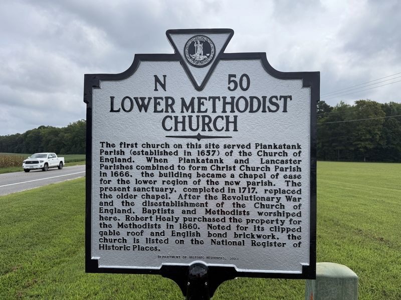
The first church on this site served Plankatank Parish (established in 1657) of the Church of England. When Plankatank and Lancaster Parishes combined to form Christ Church Parish in 1666, the building became a chapel of ease for the lower region of the new parish. The present sanctuary, completed in 1717, replaced the older chapel. After the Revolutionary War and the disestablishment of the Church of England, Baptists and Methodists worshiped here. Robert Healy purchased the property for the Methodists in 1860. Noted for its clipped gable roof and English bond brickwork, the church is listed on the National Register of Historic Places.
Erected 2023 by Department of Historic Places. (Marker Number N-50.)
Topics and series. This historical marker is listed in these topic lists: Colonial Era • Religion & Religious Structures. In addition, it is included in the Virginia Department of Historic Resources (DHR) series list. A significant historical year for this entry is 1666.
Location. 37° 33.248′ N, 76° 27.554′ W. Marker is in Hartfield, Virginia, in Middlesex County. It is at the intersection of General Puller Highway
this page online

Regionally, this marker is on the Middle Peninsula. It is also in the American South, specifically in the Upper South, in the Tidewater, in the Chesapeake Bay Region, and on the Eastern Seaboard. Globally, it is in the North Atlantic Region, North America, the Western Hemisphere, the Western World, and the Anglosphere. Historically, it finds itself in what was once the territory of the Mississippian Culture, one of the original Thirteen Colonies, one of the Confederate States of America, and the Antebellum South.
Other nearby markers. At least 8 other markers are within 6 miles of this marker, measured as the crow flies: Stingray Point (approx. ¾ mile away); Naval Actions on Wilton Creek and the Rappahannock River (approx. 2.9 miles away); Dr. Copter — Flying Medicine to Tangier (approx. 3.4 miles away); Gloucester County / Mathews County (approx. 4.2 miles away); Tomb of Puller
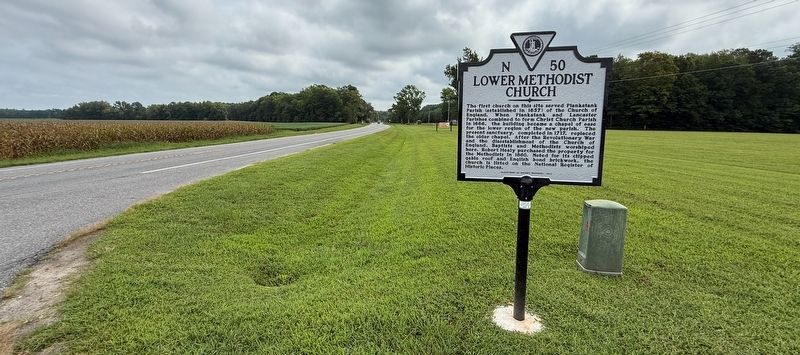
Another marker is no longer nearby. Lower Methodist Church (has been replaced with this marker).
Related marker. Click here for another marker that is related to this marker. This marker has replaced the linked marker.
Also see . . .
1. History page for Lower United Methodist Church. (Submitted on August 30, 2026, by Devry Becker Jones of Washington, District of Columbia.)
2. National Register of Historic Places Nomination Form for Lower Church. This form was prepared by the Virginia Historic Landmarks Commission Staff in August 1972. A statement of historical significance is on page 3:
In 1710, the vestry of Christ Church Parish ordered the construction of three new church buildings included the present Lower Church, to be used as chapels of ease for the parish. After some contention, the vestry decided on the dimension of Lower Church by this order: "This Vestry taking into Consideration the Dimensionsof the Lower Chappel mentioned in former Orders of Vestry not being Uniforme It is therefore Ordered that said Chappel be built two and fifty foot long in the cleare and Thirty foot wide in the cleare,... (and) That the sd Chappell be built in the smae place where the Old one now stands." The old church mentioned as being on the site was the church of Peanckatanck Parish, united in 1666 with Lancaster Parish to form Christ Church Parish. Following the union, Peanckatanck Church became a chapel of ease, known as Lower Chapel for Christ Church.Photographed by Tom Fuchs, January 16, 20103. Lower Methodist Church
The new building was built by Captain Henry Armistead and Major Edmund Berkeley, and was ready for use be October 25, 1717. The Reverend Bartholomew lead the first service. It apparently was abandoned by the Episcopalians after the Disestablishment, and is said to have been used as a school by the Methodists and Baptists. Legend has it that it was bought by a member of the Methodist congregation in 1857, and presented by him to that denomination. In any case, the building has served as a Methodist Church since that date.
Lower Church is distinctive architecturally. Besides Augusta Stone Church, Augusta County, it is Virginia's only colonial church to retain its clipped gable roof, although several other existing churches are known to have possessed this feature. It also is one of the few colonial churches to be laid entirely in English bond brickwork. An interesting tomb, dating from 1687, and originally located in the first Lower Chapel, has been incorporated in the present building just in front of the south doorway. Two other colonial tombs, dating 1726 and 1727, lie just east of the chancel. The church owns an interesting wooden chest, believed to date from 1677 (and known always to have been in the present building) which is used to store communion plate and lines. The church's original communion silver was given in 1722, and is now owned by St. Paul's Church, Richmond, having been purchased in 1846.
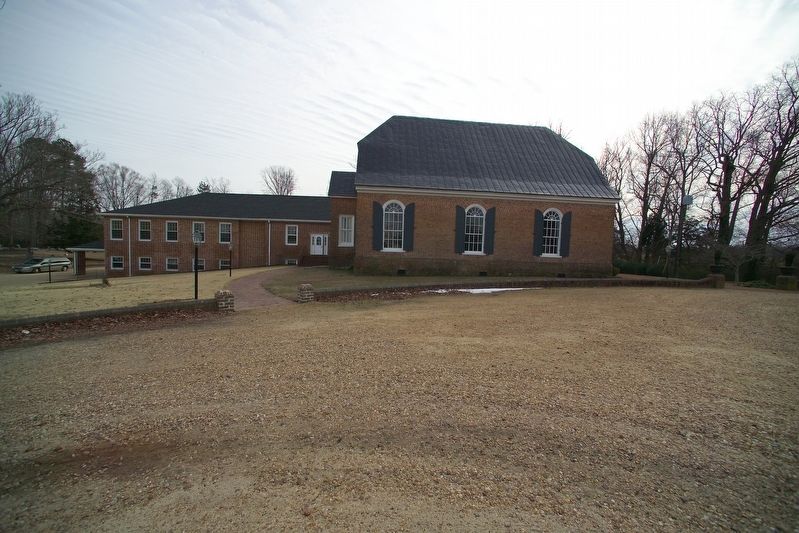
Note: The church is currently named Lower United Methodist Church. The nomination form names the building Lower Church. and the church on the marker is called the Lower Methodist Church. (Submitted on August 30, 2026, by Devry Becker Jones of Washington, District of Columbia.)
Credits. This page was last revised on August 30, 2026. It was originally submitted on August 30, 2026, by Devry Becker Jones of Washington, District of Columbia. This page has been viewed 24 times since then. Photos: 1, 2. submitted on August 30, 2026, by Devry Becker Jones of Washington, District of Columbia. 3. submitted on January 17, 2010, by Tom Fuchs of Greenbelt, Maryland.
