Near Mathews in Mathews County, Virginia — The American South (Mid-Atlantic)
Black Exodus from Gwynn's Island
Photographed by Devry Becker Jones (CC0), August 29, 2026
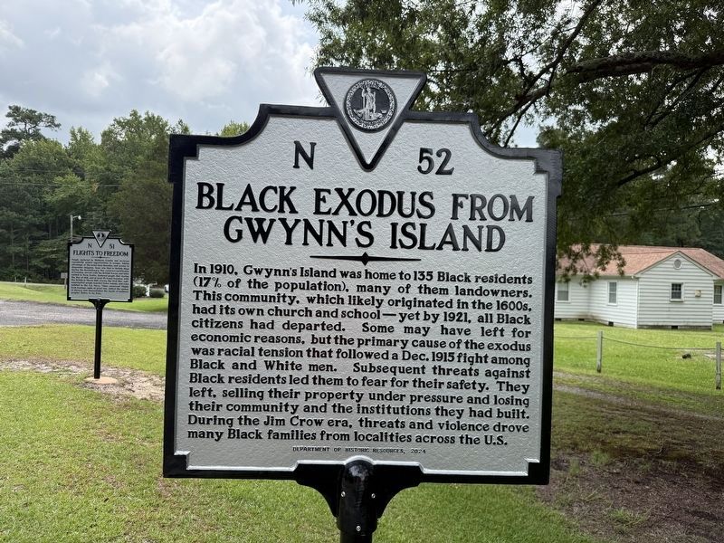
1. Black Exodus from Gwynn's Island Marker
In 1910, Gwynn's Island was home to 135 Black residents (17% of the population), many of them landowners. This community, which likely originated in the 1600s, had its own church and school—yet by 1921, all Black citizens had departed. Some may have left for economic reasons, but the primary cause of the exodus was racial tension that followed a Dec. 1915 fight among Black and White men. Subsequent threats against Black residents led them to fear for their safety. They left, selling their property under pressure and losing their community and the institutions they had built. During the Jim Crow era, threats and violence drove many Black families from localities across the U.S.
Erected 2024 by Department of Historic Resources. (Marker Number N-52.)
Topics and series. This historical marker is listed in these topic lists: African Americans • Anthropology & Archaeology • Notable Events • Settlements & Settlers. In addition, it is included in the Virginia Department of Historic Resources (DHR) series list. A significant historical month for this entry is December 1915.
Location. 37° 27.136′ N, 76° 19.786′ W. Marker
this page online

Regionally, this marker is on the Middle Peninsula and in the Hampton Roads Metropolitan Area. It is also in the American South, specifically in the Upper South, in the Tidewater, in the Chesapeake Bay Region, and on the Eastern Seaboard. Globally, it is in the North Atlantic Region, North America, the Western Hemisphere, the Western World, and the Anglosphere. Historically, it finds itself in what was once the territory of the Mississippian Culture, one of the original Thirteen Colonies, one of the Confederate States of America, and the Antebellum South.
Other nearby markers. At least 8 other markers are within 2 miles of this marker, measured as the crow flies: Flights to Freedom (a few steps from this marker); Kingston Parish Glebe (approx. 0.9 miles away); Veterans Memorial (approx. 0.9 miles away); Thomas Hunter (Rosenwald) School (approx. 1.1 miles away); Mathews County Courthouse Square (approx.
Photographed by Devry Becker Jones (CC0), August 29, 2026
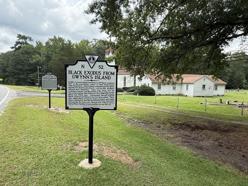
2. Black Exodus from Gwynn's Island Marker
Also see . . . Great Migration (African American) (Wikipedia article).
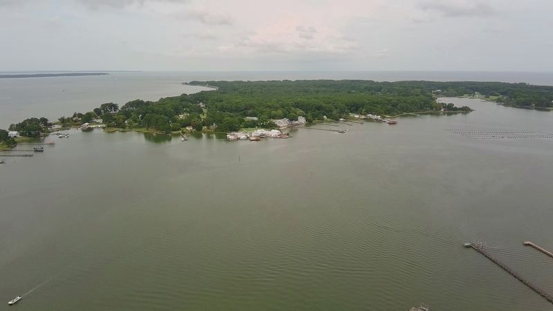
The Great Migration, sometimes known as the Great Northward Migration or the Black Migration, was the movement of six million Black Americans out of the rural Southern United States to the urban Northeast, Midwest, and West between 1910 and 1970. It was substantially caused by poor economic and social conditions due to prevalent racial segregation and discrimination in the Southern states where Jim Crow laws were upheld. In particular, continued lynchings motivated a portion of the migrants, as Black Americans searched for social reprieve. The historic change brought by the migration was amplified because the migrants, for the most part, moved to the then-largest cities in the United States (New York City, Chicago, Los Angeles, San Francisco, Philadelphia, Detroit, Cleveland, and Washington, D.C.) at a time(Submitted on August 30, 2026, by Devry Becker Jones of Washington, District of Columbia.)when those cities had a central cultural, social, political, and economic influence over the United States; there, Black Americans established culturally influential communities of their own.Photographed by Evan Dwyer, August 29, 20263. Gwynn's IslandRecreational drone view. This is the west half of the island, minus the small point (out of sight to the left) where Dunmore made his camp. The main road on the island follows the coast on this side before bending east prior to reaching Cherry Point at the northwest edge.
Additional keywords. The Great Migration; The First Great Migration
Credits. This page was last revised on August 30, 2026. It was originally submitted on August 30, 2026, by Devry Becker Jones of Washington, District of Columbia. This page has been viewed 18 times since then. Photos: 1, 2. submitted on August 30, 2026, by Devry Becker Jones of Washington, District of Columbia. 3. submitted on August 30, 2026, by Evan Dwyer of Richmond, Virginia.
