
Oliver Paipoonge in Thunder Bay District, Ontario — Central Canada (North America)
Kakabeka Falls
Photographed by Cosmos Mariner, June 16, 2024
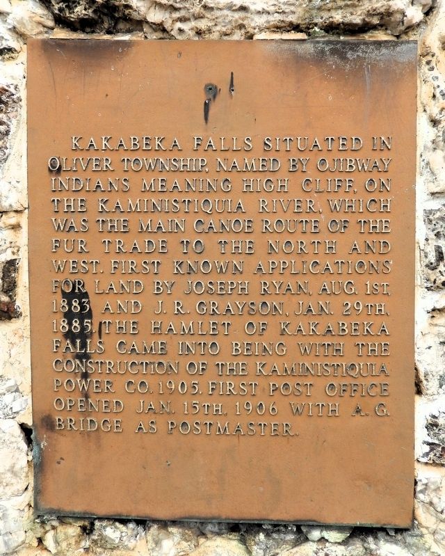
1. Kakabeka Falls Marker
Kakabeka Falls situated in Oliver Township, named by Ojibway Indians meaning high cliff, on the Kaministiquia River, which was the main canoe route of the fur trade to the North and West. First known applications for land by Joseph Ryan, Aug. 1st, 1883 and J. R. Grayson, Jan. 29th, 1885. The hamlet of Kakabeka Falls came into being with the construction of the Kaministiquia Power Co. 1905. First post office opened Jan. 15th, 1906 with A. G. Bridge as postmaster.
Topics and series. This historical marker is listed in these topic lists: Indigenous Peoples and Communities • Industry & Commerce • Settlements & Settlers • Waterways & Vessels. In addition, it is included in the Postal Mail and Philately series list. A significant historical date for this entry is January 15, 1906.
Location. 48° 24.133′ N, 89° 36.986′ W. Marker is in Oliver Paipoonge, Ontario, in Thunder Bay District. It is on Clergue Street just north of Trans-Canada Highway (Provincial Highway 11/17), on the right when traveling north. The marker and monument are on the west side of the Kakabeka Public School building. Touch for map. Marker is at or near this
this page online

Regionally, this marker is in Northern Ontario and specifically in Northwest Ontario. It is also in Central Canada. Globally, it is in North America, in the Great North Woods, on the Great Lakes, on Lake Superior’s North Shore, in the Western Hemisphere, in the Western World, and in the Anglosphere. Historically, it finds itself in what was once a British colony, the Viceroyalty of New France, the Haudenosaunee (Iroquois) Confederacy, and Rupert’s Land.
Other nearby markers. At least 7 other markers are within 10 kilometers of this marker, measured as the crow flies: Centennial of Confederation (here, next to this marker); The Mountain Portage (approx. 0.6 kilometers away); The Kaministikwia Route (approx. 0.7 kilometers away); Oliver Daunais 1836-1916 (approx. 5.5 kilometers away); Oliver Agricultural Society (approx. 8.5 kilometers away); a different marker also named Centennial of Confederation (approx. 8.5 kilometers away); The Founding of Oliver Township (approx. 8.5 kilometers away).
Related markers. Click here
Photographed by Cosmos Mariner, June 16, 2024
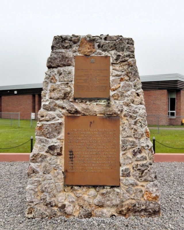
2. Kakabeka Falls Marker
This marker is the bottom one of two panels mounted on a stone monument facing Clergue Street.
Also see . . . Kakabeka Falls (Wikipedia).
Excerpt: Kakabeka Falls is a waterfall on the Kaministiquia River, located beside the village of Kakabeka Falls in the municipality of Oliver Paipoonge, Ontario, 30 km west of the city of Thunder Bay. The name “Kakabeka” comes from the Ojibwe word gakaabikaa “waterfall over a cliff.” The falls have a drop of 40 m, cascading into a gorge carved out of the Precambrian Shield by meltwater following the Last Glacial Maximum. Because of its size and ease of access, it has been nicknamed “the Niagara of the North.”(Submitted on September 6, 2026, by Cosmos Mariner of Cape Canaveral, Florida.)Kakabeka Falls Provincial Park, established in 1955, covers 5 km2 and is managed by Ontario Parks. It surrounds the falls and extends along the Kaministiquia River, which was used centuries ago by voyageurs, who were the first Europeans to overwinter annually in northern Ontario. They used the Kaministiquia River as a major route to the northwest, with a 1.3 km mountain portage around the falls.
Photographed by Cosmos Mariner, June 16, 2024
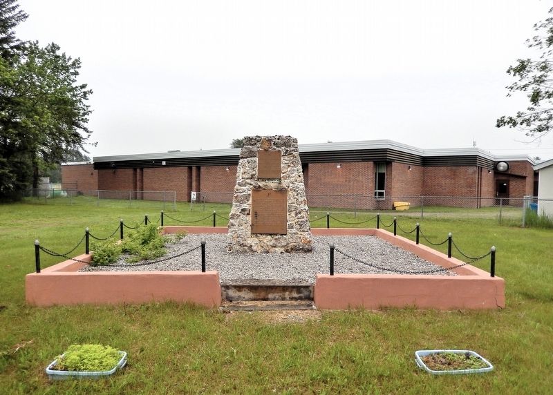
3. Kakabeka Falls Marker
Looking east from Clergue Street. The Kakabeka Public School building is in the background.
Photographed by Cosmos Mariner, June 16, 2024
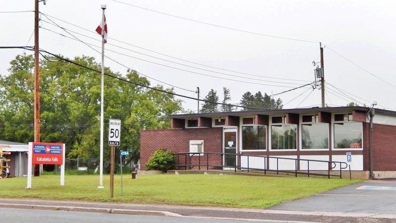
4. Kakabeka Falls Post Office
The current Kakabeka Falls post office is located 2 blocks east of this historical marker.
Credits. This page was last revised on September 6, 2026. It was originally submitted on September 4, 2026, by Cosmos Mariner of Cape Canaveral, Florida. This page has been viewed 6 times since then. Photos: 1, 2, 3, 4. submitted on September 6, 2026, by Cosmos Mariner of Cape Canaveral, Florida.
