Melbourne Arts Precinct , Victoria, Australia — Oceania
King's Domain - La Trobe's Cottage
Photographed by Dean Barton-Ancliffe, July 23, 2026
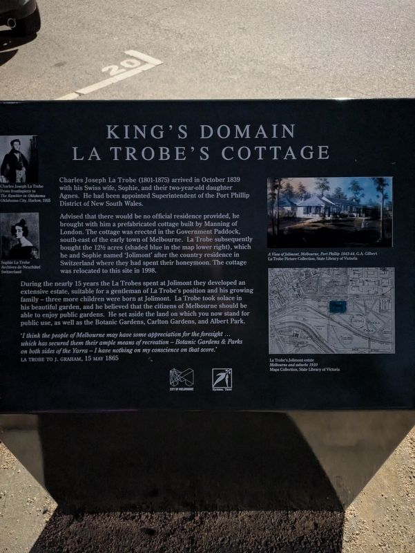
1. King's Domain - La Trobe's Cottage Marker
Advised that there would be no official residence provided, he brought with him a prefabricated cottage built by Manning of London. The cottage was erected in the Government Paddock, south-east of the early town of Melbourne. La Trobe subsequently bought the 12 1/2 acres (shaded blue in the map lower right), which he and Sophie named 'Jolimont' after the country residence in Switzerland where they had spent their honeymoon. The cottage was relocated to this site in 1998.
During the nearly 15 years the La Trobes spent at Jolimont they developed an extensive estate, suitable for a gentleman of La Trobe's position and his growing family - three more children were born at Jolimont. La Trobe took solace in his beautiful garden, and he believed that the citizens of Melbourne should be able to enjoy public gardens. He set aside the land on which you now stand for public use, as well as the Botanic Gardens, Carlton
this page online
'I think the people of Melbourne may have some appreciation for the foresight ... which has secured them their ample means of recreation - Botanic Gardens & Parks on both sides of the Yarra - I have nothing on my conscience on that score.'
La Trobe to J. Graham, 15 May 1865
Erected by City of Melbourne.
Topics. This historical marker is listed in these topic lists: Colonial Era • Parks & Recreational Areas • Settlements & Settlers. A significant historical month for this entry is October 1839.
Location. 37° 49.834′ S, 144° 58.536′ E. Marker is in Melbourne, Victoria. It is in Melbourne Arts Precinct. It is on Birdwood Avenue 0.1 kilometers west of Dallas Brooks Drive, on the left when traveling south. Touch for map. Marker is at or near this postal address: 101 Birdwood Avenue, Melbourne VIC 3004, Australia. Touch for directions.

Regionally, it is in Oceania, in Australasia, in the Pacific Ocean, in South Pacific, on the Pacific Rim, in the Western World, and in the Anglosphere. Historically, it finds itself in what was once a British colony.
Other nearby markers. At least 8 other markers
Photographed by Dean Barton-Ancliffe, July 23, 2026
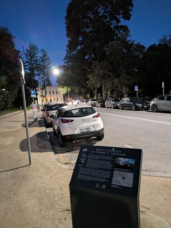
2. King's Domain - La Trobe's Cottage Marker along Birdwood Avenue
Also see . . . Kings Domain. City of Melbourne
Kings Domain covers the area from Linlithgow Avenue south to Domain Road. It includes the Shrine of Remembrance Reserve, the parklands around the Sidney Myer Music Bowl and the area south of the Royal Botanic Gardens facing Domain Road.(Submitted on September 4, 2026, by Dean Barton-Ancliffe of Rowville, Victoria.)
These areas were set aside for use as parkland in the 1840s and form a significant part of the Domain Parklands.
Kings Domain is important to the people of the Eastern Kulin nation. It also has historical importance for its association with the early settlement of Melbourne and the foundation of British colonial administration in Victoria.
The area was cleared of trees in the early years of Victoria’s colonial history. After the space was designated as parkland in the 1840s, it was further developed and added to over many years.
The park contains many large Australian and European trees, shrub beds, annual floral displays and ponds. There are also memorials and statuary which reflect the civic functions of Victoria.
Credits. This page was last revised on September 5, 2026. It was originally submitted on September 4, 2026, by Dean Barton-Ancliffe of Rowville, Victoria. This page has been viewed 8 times since then. Photos: 1, 2. submitted on September 4, 2026, by Dean Barton-Ancliffe of Rowville, Victoria. • Andrew Ruppenstein was the editor who published this page.
