Fowlers Crossroads in Fayette County, Alabama — The American South (East South Central)
Dobbs, Alabama
Fayette County
Photographed by Jimmy Emerson, September 5, 2026
1. Dobbs, Alabama Marker
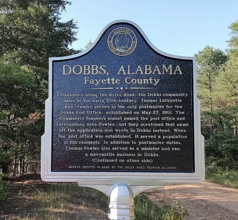
Established along the Byler Road, the Dobbs community dates to the early 20th century. Thomas Lafayette "Bud" Fowler served as the only postmaster for the Dobbs Post Office, established on May 27, 1901. The community founders almost named the post office and surrounding area Fowler, but they scratched that name off the application and wrote in Dobbs instead. When the post office was established, it served a population of 100 residents. In addition to postmaster duties, Thomas Fowler also served as a minister and ran a mercantile business in Dobbs.
(Reverse Side)
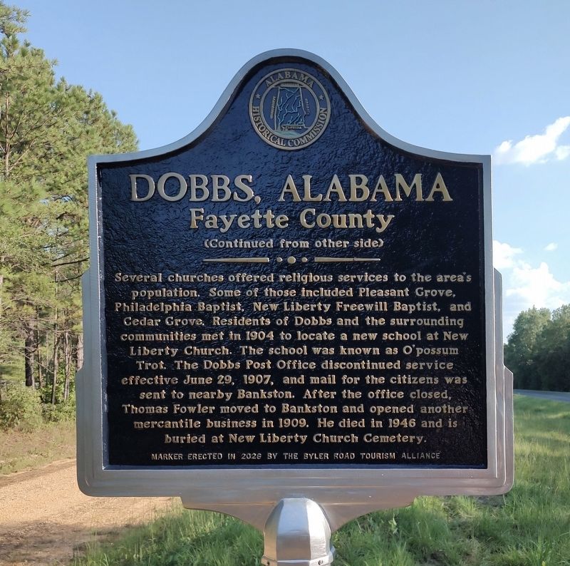
Several churches offered religious services to the area's population. Some of those included Pleasant Grove, Philadelphia Baptist, New Liberty Freewill Baptist, and Cedar Grove. Residents of Dobbs and the surrounding communities met in 1904 to locate a new school at New Liberty Church. The school was known as O'Possum Trot. The Dobbs Post Office discontinued service effective June 29, 1907, and mail for the citizens was sent to nearby Bankston. After the office closed, Thomas Fowler moved to Bankston and opened another mercantile business
this page online
Erected 2026 by Byler Road Tourism Alliance.
Topics. This historical marker is listed in these topic lists: Cemeteries & Burial Sites • Communications • Religion & Religious Structures • Roads & Vehicles. A significant historical date for this entry is May 27, 1901.
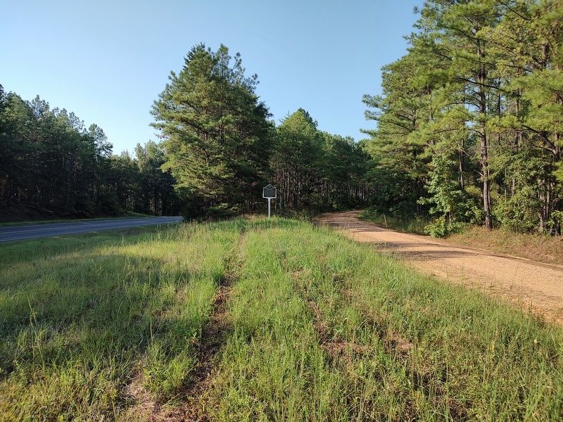
Location. 33° 47.096′ N, 87° 39.721′ W. Marker is in Fowlers Crossroads, Alabama, in Fayette County. It is on State Highway 13 north of Arthur Smith Road, on the left when traveling north. Touch for map. Marker is in this post office area: Bankston AL 35542, United States of America. Touch for directions.

Regionally, this marker is in the American South and specifically in the Deep South. Globally, it is in North America, a Gulf of Mexico state, the Western Hemisphere, the Western World, and the Anglosphere. Historically, it finds itself in what was once the territory of the Mississippian Culture, one of the Confederate States of America, and the Antebellum South.
Other nearby markers. At least 8 other markers are within 6 miles of this marker, measured as the crow flies: New Liberty Church and Cemetery / O'Possum Trot School
Photographed by Jimmy Emerson, September 5, 2026
2. Dobbs, Alabama Marker
Photographed by Jimmy Emerson, September 5, 2026
3. Dobbs, Alabama Marker
Photographed by Jimmy Emerson, September 5, 2026
4. Dobbs, Alabama Marker
Credits. This page was last revised on September 7, 2026. It was originally submitted on September 5, 2026, by Jimmy Emerson of Dalton, Georgia. This page has been viewed 15 times since then. Photos: 1, 2, 3, 4. submitted on September 5, 2026, by Jimmy Emerson of Dalton, Georgia. • James Hulse was the editor who published this page.
