Winfields Mill in Dinwiddie County, Virginia — The American South (Mid-Atlantic)
Bruce Oliver Tucker
(1913-1968)
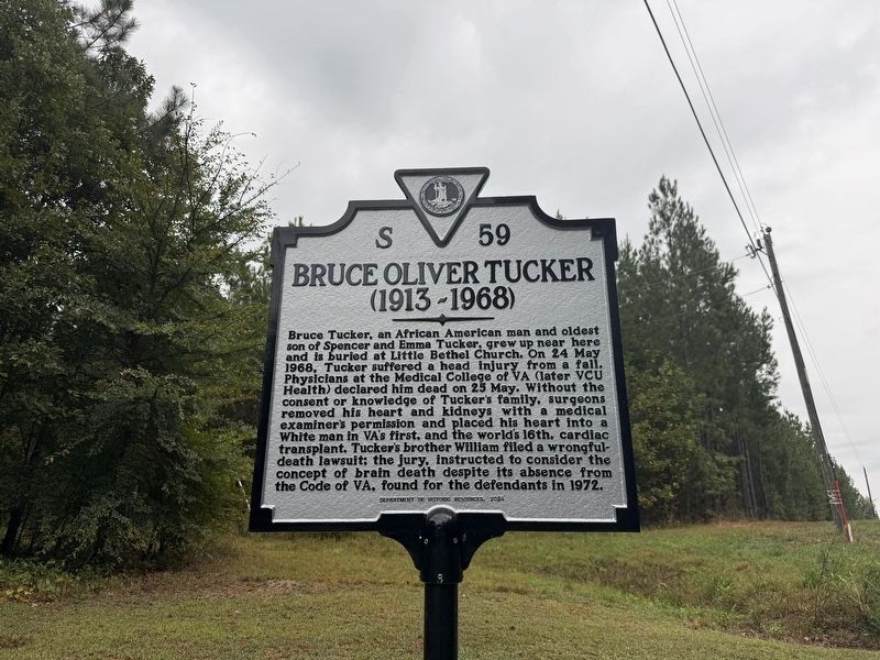
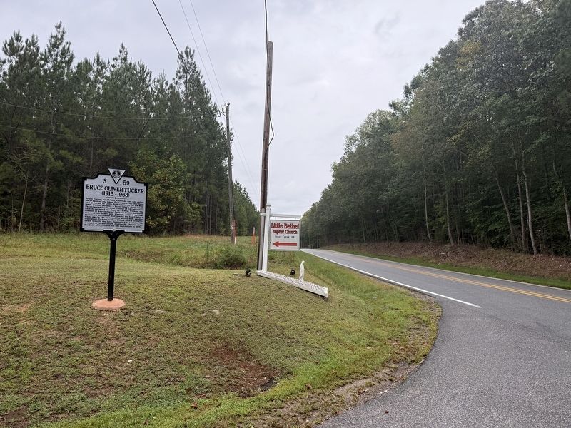
Bruce Tucker, an African american man and oldest son of Spencer and Emma Tucker, grew up near here and is buried at Little Bethel Church. On 24 May 1968, Tucker suffered a head injury from a fall. Physicians at the Medical College of VA (later VCU Health) declared him dead on 25 May. Without the consent or knowledge of Tucker's family, surgeons removed his heart and kidneys with a medical examiner's permission and placed his heart into a White man in VA's first, and the world's 16th, cardiac transplant. Tucker's brother William filed a wrongful-death lawsuit; the jury, instructed to consider the concept of brain death despite its absence from the Code of VA, found for the defendants in 1972.
Erected 2024 by Department of Historic Resources. (Marker Number S-59.)
Topics and series. This historical marker is listed in these topic lists: African Americans • Civil Rights • Science & Medicine. In addition, it is included in the Virginia Department of Historic Resources (DHR) series list. A significant historical date for this entry is May 24, 1968.
Location. 36° 56.651′ N, 77° 29.74′ W. Marker is in Winfields Mill, Virginia,
this page online

Regionally, this marker is in Virginia’s Piedmont, in Southside Virginia, and specifically in Central Virginia. It is also in the American South and specifically in the Upper South. Globally, it is in North America, the Western Hemisphere, the Western World, and the Anglosphere. Historically, it finds itself in what was once the territory of the Mississippian Culture, one of the original Thirteen Colonies, one of the Confederate States of America, and the Antebellum South.
Other nearby markers. At least 8 other markers are within 7 miles of this marker, measured as the crow flies: Sussex County / Dinwiddie County (approx. ¼ mile away); Sappony Baptist Church (approx. 2.4 miles away); Sappony Church (approx. 2.4 miles away); Confederate Cannon (approx. 5.2 miles away); Defence of Stony Creek (approx.
Also see . . . 5-minute mini-documentary from VCU Health about Bruce O. Tucker. (Submitted on September 6, 2026, by Devry Becker Jones of Washington, District of Columbia.)
Additional keywords. science and values; the history of science; medical ethics
Credits. This page was last revised on September 6, 2026. It was originally submitted on September 6, 2026, by Devry Becker Jones of Washington, District of Columbia. This page has been viewed 3 times since then. Photos: 1, 2. submitted on September 6, 2026, by Devry Becker Jones of Washington, District of Columbia.
