
Freeman in Brunswick County, Virginia — The American South (Mid-Atlantic)
Reedy Creek Baptist Church
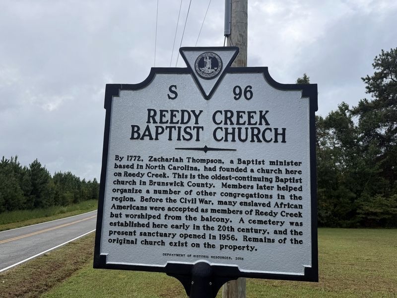
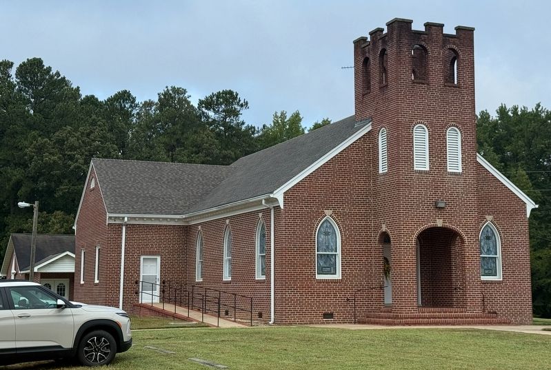
By 1772, Zachariah Thompson, a Baptist minister based in North Carolina, had founded a church here on Reedy Creek. This is the oldest-continuing Baptist church in Brunswick County. Members later helped organize a number of other congregations in the region. Before the Civil War, many enslaved African Americans were accepted as members of Reedy Creek but worshiped from the balcony. A cemetery was established here early in the 20th century, and the present sanctuary opened in 1956. Remains of the original church exist on the proeprty.
Erected 2018 by Department of Historic Resources. (Marker Number S-96.)
Topics and series. This historical marker is listed in these topic lists: Cemeteries & Burial Sites • Colonial Era • Religion & Religious Structures. In addition, it is included in the Virginia Department of Historic Resources (DHR) series list. A significant historical year for this entry is 1772.
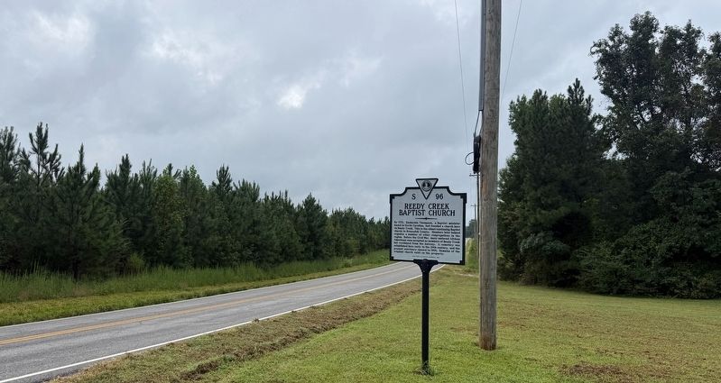
Location. 36° 47.184′ N, 77° 42.642′ W. Marker is in Freeman, Virginia, in Brunswick County. It is on Reedy Creek Road (County Road 634) north of Big Horn Road (County Road 633), on the right when traveling south.
this page online

Regionally, this marker is in Southern Virginia, specifically in the Piedmont, and in Southside Virginia. It is also in the American South and specifically in the Upper South. Globally, it is in North America, the Western Hemisphere, the Western World, and the Anglosphere. Historically, it finds itself in what was once the territory of the Mississippian Culture, one of the original Thirteen Colonies, one of the Confederate States of America, and the Antebellum South.
Other nearby markers. At least 8 other markers are within 6 miles of this marker, measured as the crow flies: Smoky Ordinary (approx. 3.3 miles away); a different marker also named Smoky Ordinary (approx. 3.4 miles away); Brunswick County, Virginia (approx. 3.6 miles away); Meherrin Indians (approx. 3.6 miles away); Brunswick County / Greensville County (approx. 3.6 miles away); Mabry's Chapel (approx. 3.8 miles away); Lt. Col. John Lyman Whitehead Jr. (1924-1992) (approx. 5 miles away); Site of Homestead (approx.
Other markers no longer nearby. Smoky Ordinary (was approx. 3.4 miles away but has been replaced with another marker now near it); a different marker also named Smoky Ordinary (was approx. 3½ miles away but has been replaced with another marker now near it).
Credits. This page was last revised on September 6, 2026. It was originally submitted on September 6, 2026, by Devry Becker Jones of Washington, District of Columbia. This page has been viewed 6 times since then. Photos: 1, 2, 3. submitted on September 6, 2026, by Devry Becker Jones of Washington, District of Columbia.
