Altavista in Campbell County, Virginia — The American South (Mid-Atlantic)
Crossing the Staunton
Photographed by C. Ryan Dodson, September 5, 2026
1. Crossing the Staunton Marker
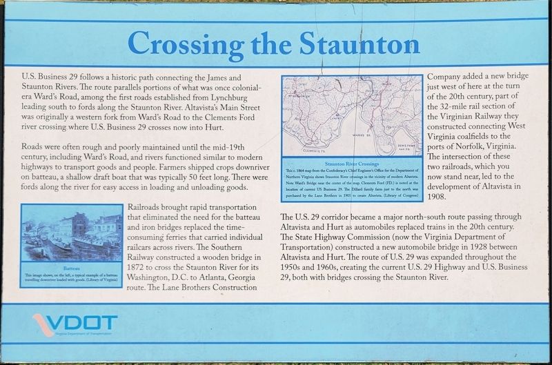
Roads were often rough and poorly maintained until the mid-19th century, including Ward's Road, and rivers functioned similar to modern highways to transport goods and people. Farmers shipped crops downriver on batteau, a shallow draft boat that was typically 50 feet long. There were fords along the river for easy access in loading and unloading goods.
Railroads brought rapid transportation that eliminated the need for the batteau and iron bridges replaced the time-consuming ferries that carried individual railcars across rivers. The Southern Railway constructed a wooden bridge in 1872 to cross the Staunton River for its Washington, D.C. to Atlanta, Georgia route. The Lane Brothers Construction Company added a new
this page online
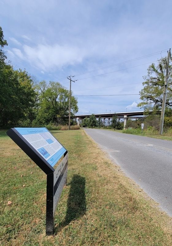
The U.S. 29 corridor became a major north-south route passing through Altavista and Hurt as automobiles replaced trains in the 20th century. The State Highway Commission (now the Virginia Department of Transportation) constructed a new automobile bridge in 1928 between Altavista and Hurt. .The route of U.S. 29 was expanded throughout the 1950s and 1960s, creating the current U.S. 29 Highway and U.S. Business 29, both with bridges crossing the Staunton River.
(captions)
Batteau
This image shows, on the left, a typial example of a batteau traveling downriver loaded with goods. (Library of Virgina)
Staunton River Crossings
This c.1864 map from the Confederacy's Chief Engineer's Office for the Department of Northen Virginia shows Staunton River crossings in the vicinity of modern Altavista. Note Ward's Bridge near the center of the map. Clements Ford (FD.) is noted at the location of current US Business 29, The Dillrd family farm just to the north was purchased by the Lane Brothers in 1905 to create Altavista. (Library of Congress)
Erected by Virginia
Photographed by C. Ryan Dodson, September 5, 2026
2. Crossing the Staunton Marker
Topics. This historical marker is listed in these topic lists: Bridges & Viaducts • Colonial Era • Industry & Commerce • Railroads & Streetcars • Waterways & Vessels.
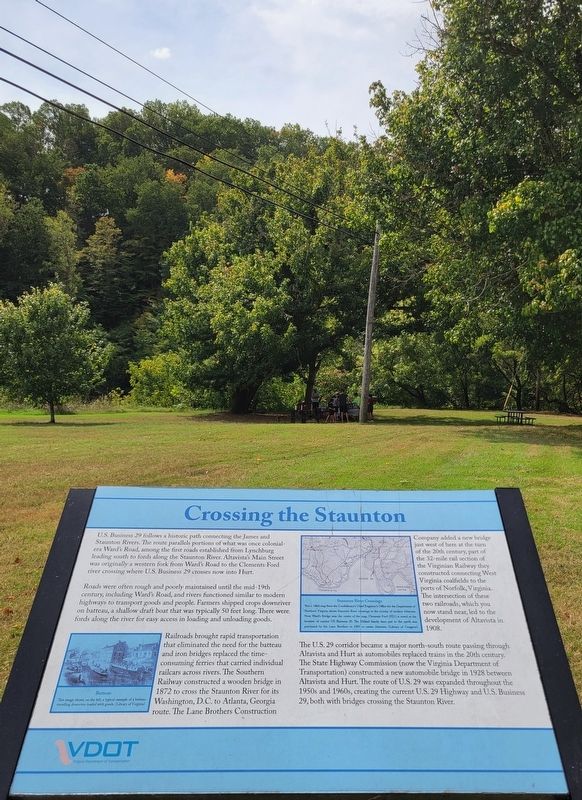
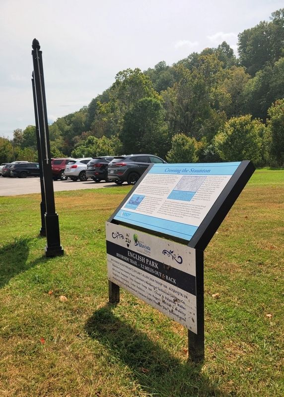
Location. 37° 6.348′ N, 79° 17.555′ W. Marker is in Altavista, Virginia, in Campbell County. It can be reached from 3rd Street 0.3 miles west of Broad Street, on the left when traveling west. The marker is located in English Park. Touch for map. Marker is in this post office area: Altavista VA 24517, United States of America. Touch for directions.

Regionally, this marker is in the Piedmont and in Central Virginia. It is also in the American South and specifically in the Upper South. Globally, it is in North America, the Western Hemisphere, the Western World, and the Anglosphere. Historically, it finds itself in what was once the territory of the Mississippian Culture, one of the original Thirteen Colonies, one of the Confederate States of America, and the Antebellum South.
Other nearby markers. At least 8 other markers are within walking distance of this
Photographed by C. Ryan Dodson, September 5, 2026
3. Crossing the Staunton Marker
Photographed by C. Ryan Dodson, September 5, 2026
4. Crossing the Staunton Marker
Photographed by C. Ryan Dodson, September 5, 2026
5. Crossing the Staunton Marker
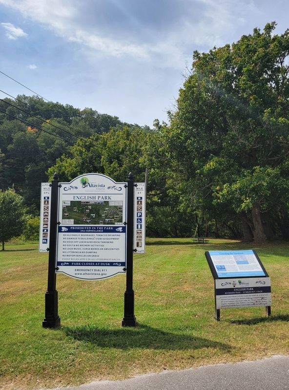
The Marker is located in English Park.
Photographed by C. Ryan Dodson, September 5, 2026
6. LOVE Sculpture
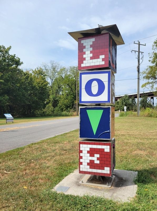
The Marker is located near the LOVE sculpture.
Credits. This page was last revised on September 12, 2026. It was originally submitted on September 6, 2026, by C. Ryan Dodson of Danville, Virginia. This page has been viewed 12 times since then. Photos: 1. submitted on September 6, 2026, by C. Ryan Dodson of Danville, Virginia. 2, 3, 4, 5, 6. submitted on September 7, 2026, by C. Ryan Dodson of Danville, Virginia. • Bernard Fisher was the editor who published this page.
