Ironton in Lawrence County, Ohio — The American Midwest (Great Lakes)
The Wayne National Forest
Before & After
Photographed by Cosmos Mariner, August 28, 2021
1. The Wayne National Forest Marker
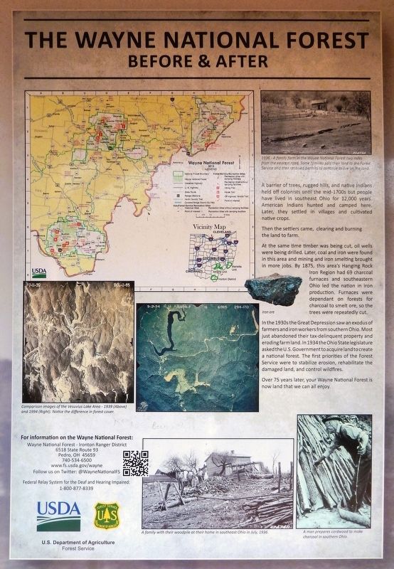
A barrier of trees, rugged hills, and native Indians held off colonists until the mid-1700s but people have lived in southeast Ohio for 12,000 years. American Indians hunted and camped here. Later, they settled in villages and cultivated native crops.
Then the settlers came, clearing and burning the land to farm.
At the same time timber was being cut, oil wells were being drilled. Later, coal and iron were found in this area and mining and iron smelting brought in more jobs. By 1875, this area's Hanging Rock Iron Region had 69 charcoal furnaces and southeastern Ohio led the nation in iron production. Furnaces were dependent on forests for charcoal to smelt ore, so the trees were repeatedly cut.
In the 1930s the Great Depression saw an exodus of farmers and iron workers from southern Ohio. Most just abandoned their tax-delinquent property and eroding farmland. In 1934 the Ohio State legislature asked the U.S. Government to acquire land to create a national forest. The first priorities of the Forest Service were to stabilize erosion, rehabilitate the damaged land, and control wildfires.
Over 75 years later, your Wayne National
this page online
[photo captions]
• 1936 — A family farm in the Wayne National Forest two miles from the nearest road. Some families sold their land to the Forest Service and then received permits to continue to live on the land.
• Iron ore
• A family with their woodpile at their home in southeast Ohio in July, 1936.
• A man prepares cordwood to make charcoal in southern Ohio.
For information on the Wayne National Forest:
Wayne National Forest — Ironton Ranger District, 6518 State Route 93 Pedro, OH 45659 — 740-534-6500
www.fs.usda.gov/wayne
Follow us on Twitter: @WayneNationalFS
Federal Relay System for the Deaf and Hearing Impaired: 1-800-877-8339
Erected by by Ohio River Scenic Byways, Federal Highway Administration, and U.S. Department of Agriculture Forest Service.
Topics. This historical marker is listed in these topic lists: Horticulture & Forestry • Indigenous Peoples and Communities • Parks & Recreational Areas • Settlements & Settlers.
Location. 38° 32.207′ N, 82° 40.621′ W. Marker is in Ironton, Ohio, in Lawrence County. It can
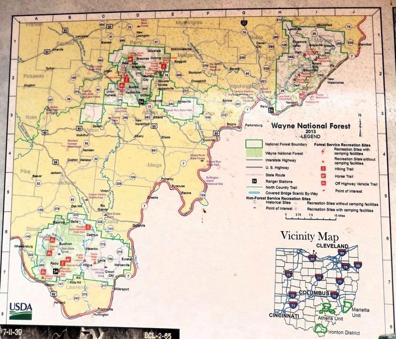
2. Marker detail: Wayne National Forest

Regionally, this marker is in the Kyova Tri-State Region. It is also in the American Midwest, in the Ohio River Valley, in Appalachia, and specifically in Northern Appalachia. Globally, it is in North America, the Western Hemisphere, the Western World, and the Anglosphere. Historically, it finds itself in what was once the Haudenosaunee (Iroquois) Confederacy, the territory of the Mississippian Culture, and the Northwest Territory.
Other nearby markers. At least 8 other markers are within walking distance of this marker: Ironton and the Ohio River (here, next to this marker); Getting Products to Market (here, next to this marker); Hanging Rock Iron Furnace Region (here, next to this marker); There is Much to See on the Ohio River Scenic Byway (here, next
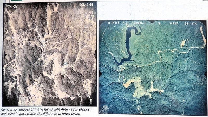
3. Marker detail: Comparison of the Vesuvius Lake Area
1939 (left) & 1994 (right)
1939 (left) & 1994 (right)
Notice the difference in forest cover.
Also see . . . Welcome to Wayne National Forest (fs.usa.gov).
Excerpt: The Wayne National Forest is a patchwork of public land that covers over a quarter million acres of Appalachian foothills of southeastern Ohio. The Forest is divided into three units managed out of two Ranger District offices located in Nelsonville and Ironton, with a field office in Marietta.(Submitted on September 8, 2026, by Cosmos Mariner of Cape Canaveral, Florida.)
Photographed by Cosmos Mariner, August 28, 2021
4. The Wayne National Forest Marker
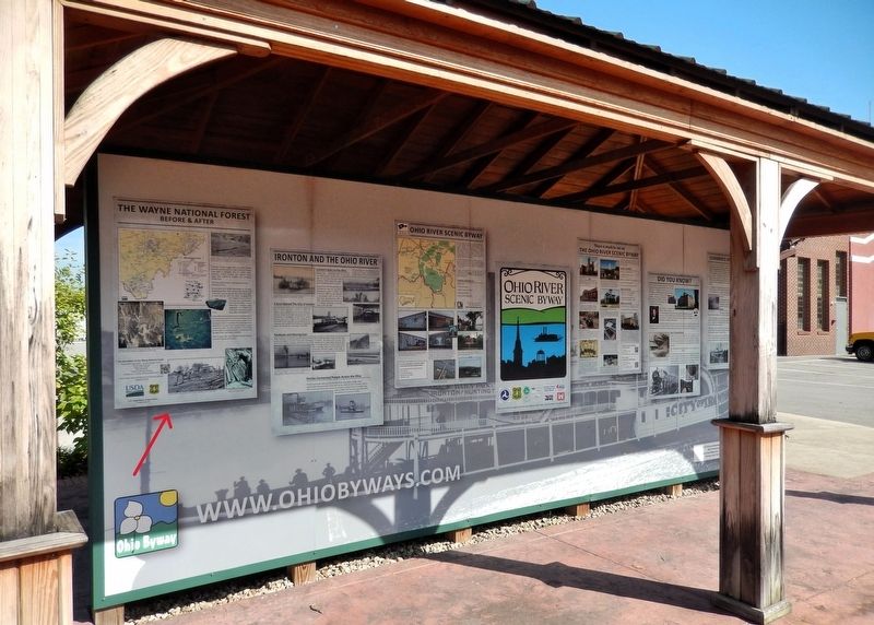
This marker is the leftmost panel on the south side of the Ohio River Scenic Byway interpretive kiosk.
Credits. This page was last revised on September 8, 2026. It was originally submitted on September 7, 2026, by Cosmos Mariner of Cape Canaveral, Florida. This page has been viewed 13 times since then. Photos: 1, 2, 3, 4. submitted on September 8, 2026, by Cosmos Mariner of Cape Canaveral, Florida.
