THE HISTORICAL
MARKER DATABASE
“Bite-Size Bits of Local, National, and Global History”
Goleta in Santa Barbara County, California — The American West (Pacific Coastal)
 

Gaviota Timeline: 1) Prehistoric Gaviota
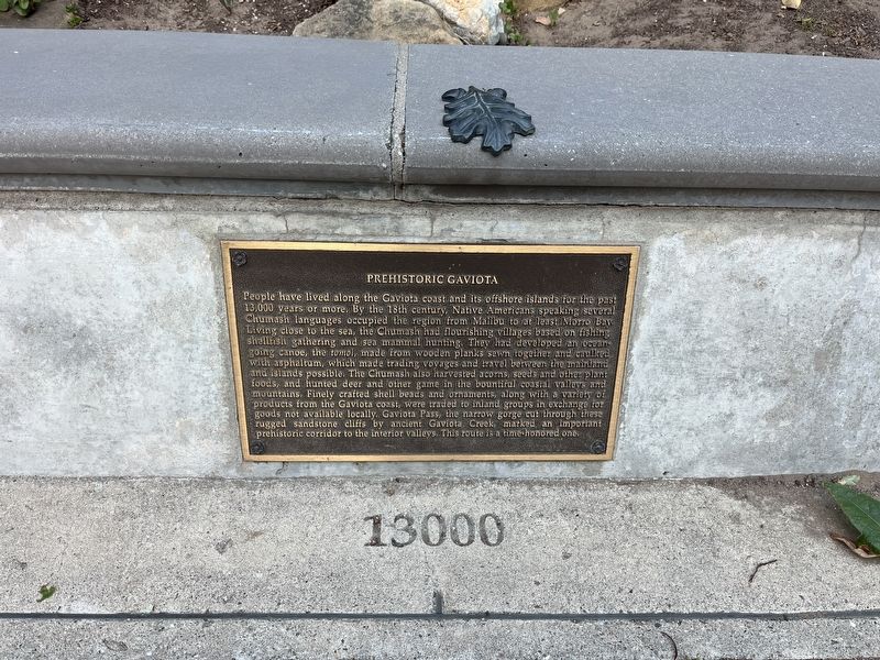
 
 
Prehistoric Gaviota Marker image. Click for full size.
Photographed by Adam Margolis, May 31, 2026
1. Prehistoric Gaviota Marker
Inscription. People have lived along the Gaviota coast and its offshore islands for the past 13,000 years or more, By the 18th century, Native Americans speaking several Chumash languages occupied the region from Malibu to at least Moro Bay living close to the sea, the Chumash had flourishing villages based on fishing -shellfish gathering and sea mammal hunting. They had developed an ocean going canoe, the tomol, made from wooden planks sewn together and caulked with asphaltum, which made trading voyages and travel, between the mainland and islands possible, The Chumash also harvested acorns, seeds and other plant foods, and hunted deer and other game in the bountiful coastal valleys and mountains. Finely crafted shell beads and ornaments, along with a variety products from the Gaviota coast, were traded to inland groups in exchange for goods not available locally. Gaviota Pass, the narrow gorge cut through these rugged sandstone cliffs by ancient Gaviota Creek, marked an important prehistoric corridor to the interior valleys. This route is a time honored one.
 
Topics. This historical marker is listed in these topic lists:
Paid Advertisement
Click or scan to see
this page online
Indigenous Peoples and Communities • Roads & Vehicles • Settlements & Settlers.
 
Location. 34° 29.11′ N, 120° 13.713′ W. Marker is in Goleta, California, in Santa Barbara County. It is on U.S. 101, on the right when traveling north. The marker is located in the northbound rest area. Touch for map. Marker is at or near this postal address: 1595 US-101, Goleta CA 93117, United States of America. Touch for directions.

Regionally, this marker is on the Central Coast, specifically on the Coast Ranges, and specifically in the Transverse Ranges. It is also on the American Pacific Coast. Globally, it is in North America, on the Ring of Fire, on the Pacific Rim, in the Western Hemisphere, in the Western World, and in the Anglosphere. Historically, it finds itself in what was once New Spain and also Mexico’s Alta California.

Other nearby markers. At least 8 other markers are within walking distance of this marker: Gaviota Timeline: 2) Exploration by Sea (here, next to this marker); Gaviota Timeline: 3) Expeditions by Land (a few steps from this marker); Gaviota Timeline: 4) Missions and Trade
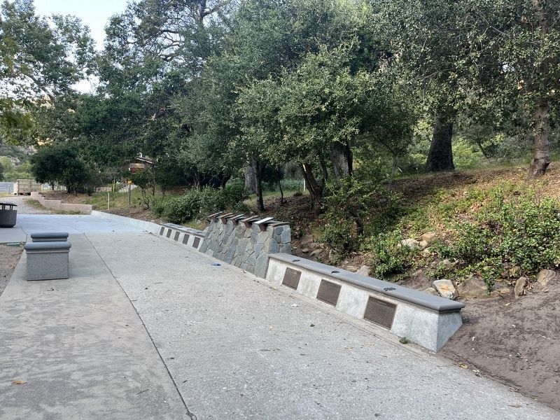
Prehistoric Gaviota Marker image. Click for full size.
Photographed by Adam Margolis, May 31, 2026
2. Prehistoric Gaviota Marker
(a few steps from this marker); Gaviota Timeline: 5) California Ranchos (a few steps from this marker); Gaviota Timeline: 6) America Expands (a few steps from this marker); Gaviota Timeline: 7) Highways and Byways (a few steps from this marker); Gaviota Timeline: 8) Gaviota Grows (a few steps from this marker); Gaviota Pass (a few steps from this marker). Touch for a list and map of all markers in Goleta.
 
 
Credits. This page was last revised on September 17, 2026. It was originally submitted on September 7, 2026, by Adam Margolis of Mission Viejo, California. This page has been viewed 8 times since then. Photos:   1, 2. submitted on September 7, 2026, by Adam Margolis of Mission Viejo, California. • Andrew Ruppenstein was the editor who published this page.

m=310302

CeraNet Cloud Computing sponsors the Historical Marker Database.
This website earns income from purchases you make after using our links to Amazon.com. We appreciate your support.
Paid Advertisement
Oct. 6, 2026