Goleta in Santa Barbara County, California — The American West (Pacific Coastal)
Gaviota Timeline: 2) Exploration by Sea
Photographed by Adam Margolis, May 31, 2026
1. Exploration by Sea Marker
Inscription.
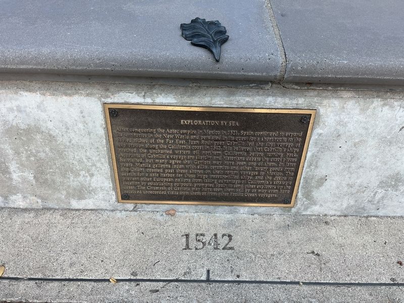
After conquering the Aztec empire in Mexico in 1521, Spain continued to expand its territories in the New World and persisted in its quest for a short route to the fabled riches of the Far East. Juan Rodriguez Cabrillo led the first voyage of exploration along the California coast in 1542. It is believed that Cabrillo's ships reached the uncharted waters off northern California before turning back. Accounts of Cabrillo's voyage are sketchy and historians debate the exact places he visited, but many agree that Gaviota may have been one of them. In later years Manila galleons laden with silks ceramics and other luxury goods from the Orient coasted past these shores on their return voyages to Mexico. The search for a safe harbor for these huge treasure-filled ships and the desire to prevent other European nations from taking advantage of California's strategic location by establishing outposts, prompted Spain to send other explorers up the coast. The Chumash of Gaviota may have seen them sail by or may even have received unrecorded visits from them or from other Pacific Ocean voyagers.
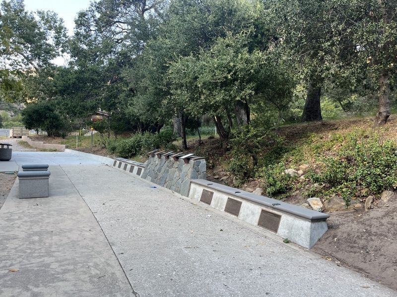
Location. 34° 29.111′ N, 120° 13.708′ W. Marker is in Goleta, California, in Santa Barbara County. It is on U.S. 101, on the right when traveling north. The marker is located in the northbound rest area. Touch for map. Marker is at or near this postal address: 1595 US-101, Goleta CA 93117, United States of America. Touch for directions.
Regionally, this marker is on the Central Coast, specifically on the Coast Ranges, and specifically in the Transverse Ranges. It is also on the American Pacific Coast. Globally, it is in North America, on the Ring of Fire, on the Pacific Rim, in the Western Hemisphere, in the Western World, and in the Anglosphere. Historically, it finds itself in what was once New Spain and also Mexico’s Alta California.
Credits. This page was last revised on September 17, 2026. It was originally submitted on September 7, 2026, by Adam Margolis of Mission Viejo, California. This page has been viewed 9 times since then. Photos:1, 2. submitted on September 7, 2026, by Adam Margolis of Mission Viejo, California. • Andrew Ruppenstein was the editor who published this page.