Goleta in Santa Barbara County, California — The American West (Pacific Coastal)
Gaviota Timeline: 4) Missions and Trade
Photographed by Adam Margolis, May 31, 2026
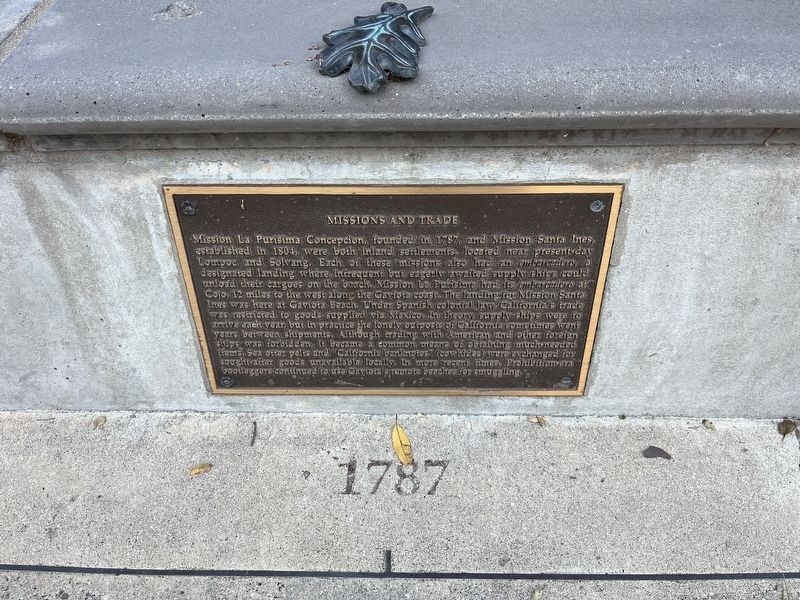
1. Missions and Trade Marker
Inscription.
Mission La Purisima Concepcion, founded in 1787, and Mission Santa Ines,
established in 1804, were both inland settlements, located near present-day
Lompoc and Solvang. Each of these missions also had an embarcadero, a
designated landing where infrequent but eagerly awaited supply ships could
unload their cargoes on the beach. Mission La Purisima had its embarcadero at
Cojo, 12 miles to the west along the Gaviota coast. The landing for Mission Santa Ines was here at Gaviota Beach. Under Spanish colonial law, California's trade was restricted to goods supplied via Mexico. In theory, supply ships were to arrive each year, but in practice the lonely outposts of California sometimes went years between shipments. Although trading with American and other foreign ships was forbidden, it became a common means of obtaining much-needed items. Sea otter pelts and "California banknotes" (cowhides) were exchanged for sought-after goods unavailable locally. In more recent times, Prohibition-era bootleggers continued to use Gaviota' remote beaches for smuggling.
Topics. This historical marker is listed in these topic lists:
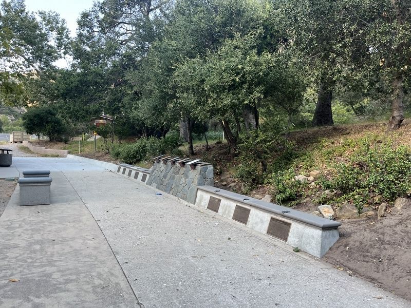
Location. 34° 29.114′ N, 120° 13.707′ W. Marker is in Goleta, California, in Santa Barbara County. It is on U.S. 101, on the right when traveling north. The marker is located in the northbound rest area. Touch for map. Marker is at or near this postal address: 1595 US-101, Goleta CA 93117, United States of America. Touch for directions.
Regionally, this marker is on the Central Coast, specifically on the Coast Ranges, and specifically in the Transverse Ranges. It is also on the American Pacific Coast. Globally, it is in North America, on the Ring of Fire, on the Pacific Rim, in the Western Hemisphere, in the Western World, and in the Anglosphere. Historically, it finds itself in what was once New Spain and also Mexico’s Alta California.
Credits. This page was last revised on September 17, 2026. It was originally submitted on September 7, 2026, by Adam Margolis of Mission Viejo, California. This page has been viewed 7 times since then. Photos:1, 2. submitted on September 7, 2026, by Adam Margolis of Mission Viejo, California. • Andrew Ruppenstein was the editor who published this page.