Northern Barton Heights in Richmond, Virginia — The American South (Mid-Atlantic)
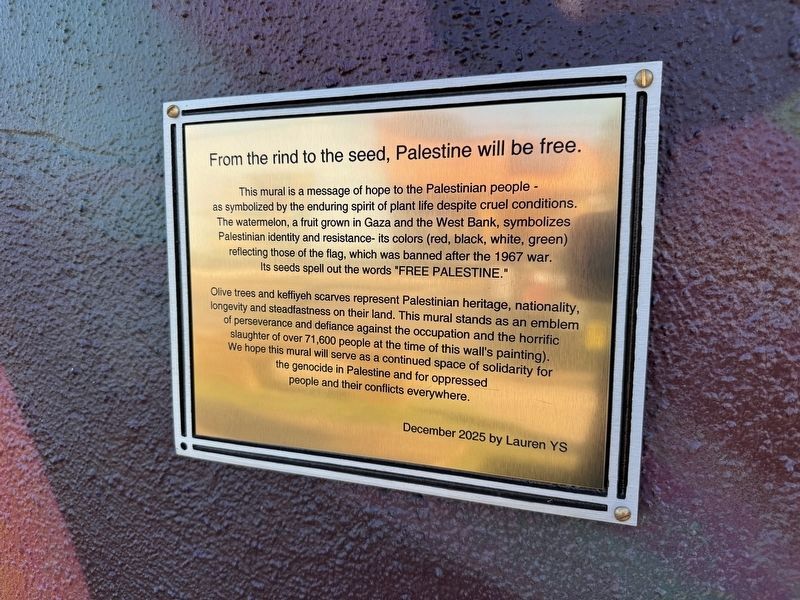
From the rind to the seed, Palestine will be free.
Photographed by Devry Becker Jones (CC0), September 6, 2026
1. From the rind to the seed, Palestine will be free. Marker
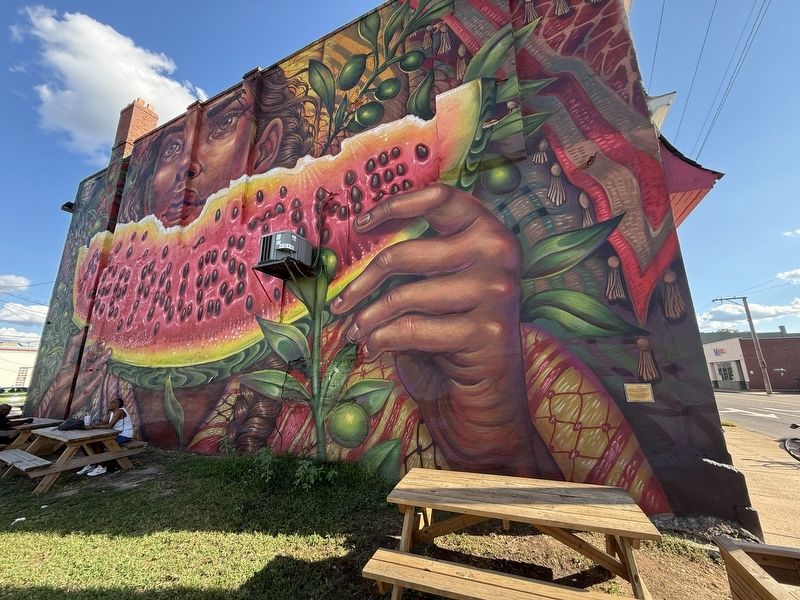
This mural is a message of hope to the Palestinian people - as a symbolized by the enduring spirit of plant life despite cruel conditions. The watermelon, a fruit grown in Gaza and the West Bank, symbolizes Palestinian identity and resistance- its colors (red, black, white, green) reflecting those of the flag, which was banned after the 1967 war. Its seeds spell out the words "FREE PALESTINE."
Olive trees and keffiyeh scarves represent Palestinian heritage, nationality, longevity and steadfastness on their land. This mural stands as an emblem of perseverance and defiance against the occupation and the horrific slaughter of over 71,600 people at the time of this wall's painting). We hope this mural will serve as a continued space of solidarity for the genocide in Palestine and for oppressed people and their conflicts everywhere.
Erected 2025 by Lauren YS.
Topics. This memorial is listed in this topic list: Wars, Non-US. A significant historical year for this entry is 1967.
Location. 37° 34.282′ N, 77° 25.958′ W. Memorial is in Richmond, Virginia. It is in Northern Barton Heights. It is at the intersection of East
this page online

Regionally, this memorial is in Central Virginia. It is also in the American South and specifically in the Upper South. Globally, it is in North America, the Western Hemisphere, the Western World, and the Anglosphere. Historically, it finds itself in what was once the territory of the Mississippian Culture, one of the original Thirteen Colonies, one of the Confederate States of America, and the Antebellum South.
Other nearby markers. At least 8 other markers are within 2 miles of this marker, measured as the crow flies: Gabriel Freedom Park (approx. 0.7 miles away); Italians in Richmond (approx. 0.9 miles away); Barton Heights Cemeteries (approx. 0.9 miles away); President's House (approx. one mile away); Virginia Union University (approx. 1.1 miles away); Appointed to Serve (approx. 1.1 miles away); Treble Clef and Book Lovers' Club (approx. 1.1 miles away); First Southern African American Girl Scouts
Credits. This page was last revised on September 7, 2026. It was originally submitted on September 7, 2026, by Devry Becker Jones of Washington, District of Columbia. This page has been viewed 9 times since then. Photos: 1, 2. submitted on September 7, 2026, by Devry Becker Jones of Washington, District of Columbia.
