Near Athens in Henderson County, Texas — The American South (West South Central)
Meredith Campground and Tabernacle
Photographed by Jeff Leichsenring, September 7, 2026
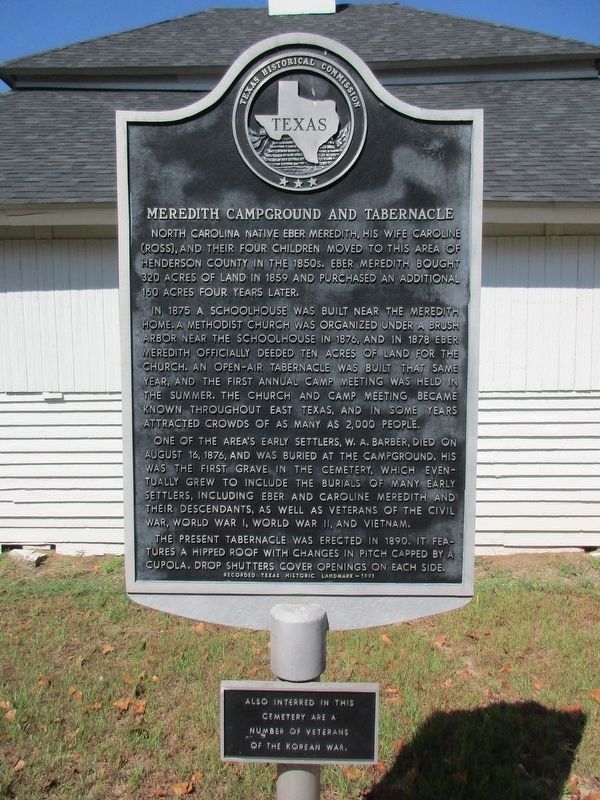
1. Meredith Campground and Tabernacle Marker
North Carolina native Eber Meredith, his wife Caroline (Ross), and their four children moved to this area of Henderson County in the 1850s. Eber Meredith bought 320 acres of land in 1859 and purchased an additional 160 acres four years later.
In 1875 a schoolhouse was built near the Meredith home. A Methodist church was organized under a brush arbor near the schoolhouse in 1876, and in 1878 Eber Meredith officially deeded ten acres of land for the church. An open-air tabernacle was built that same year, and the first annual camp meeting was held in the summer. The church and camp meeting became known throughout East Texas, and in some years attracted crowds of as many as 2,000 people.
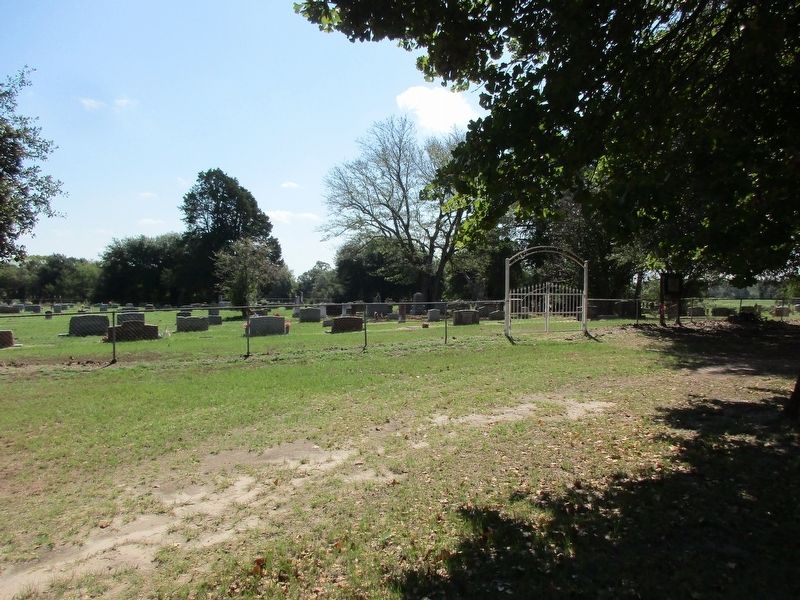
One of the area's early settlers, W. A. Barber, died on August 16, 1876, and was buried at the campground. His was the first grave in the cemetery, which eventually grew to include the burials of many early settlers, including Eber and Caroline Meredith and their descendants, as well as veterans of the Civil War, World War I, World War II, and Vietnam.
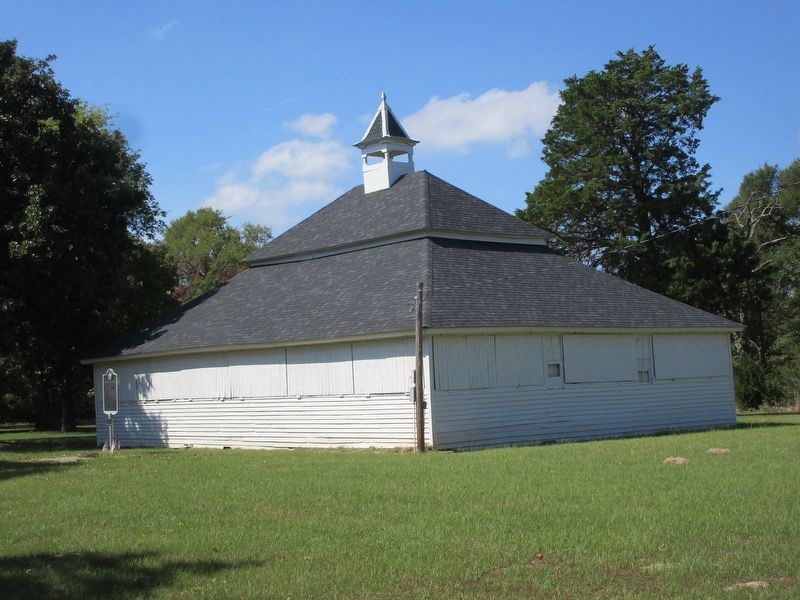
The present tabernacle was erected in 1890. It features a hipped roof with changes
this page online
(2nd Plaque)
Also interred in this cemetery are a number of veterans of the Korean War
Erected 1991 by Texas Historical Commission. (Marker Number 10367.)
Topics. This historical marker is listed in these topic lists: Cemeteries & Burial Sites • Parks & Recreational Areas • Religion & Religious Structures. A significant historical date for this entry is August 16, 1876.
Location. 32° 20.675′ N, 95° 52.305′ W. Marker is near Athens, Texas, in Henderson County. It is on County Road 3901 half a mile west of County Road 3900. Touch for map. Marker is in this post office area: Athens TX 75751, United States of America. Touch for directions.

Regionally, this marker is in the American South and in the Piney Woods. Globally, it is in North America, a Gulf of Mexico state, the Western Hemisphere, the Western World, and the Anglosphere. Historically, it finds itself in what was once New Spain, the Republic of Texas, one of the Confederate States of America, and the Antebellum South.
Other nearby markers. At least
Photographed by Jeff Leichsenring, September 7, 2026
2. Meredith Campground and Tabernacle marker and church
Photographed by Jeff Leichsenring, September 7, 2026
3. Meredith Campground cemetery
Photographed by Jeff Leichsenring, September 7, 2026
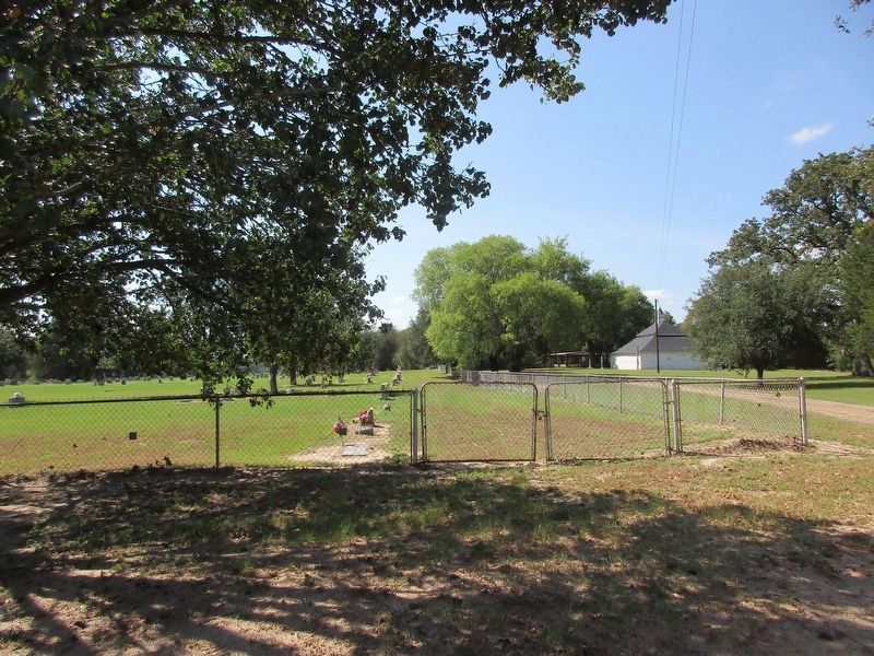
4. Meredith Campground and Tabernacle Marker as seen from the road
Credits. This page was last revised on September 11, 2026. It was originally submitted on September 8, 2026, by Jeff Leichsenring of Garland, Texas. This page has been viewed 15 times since then. Photos: 1, 2, 3, 4. submitted on September 8, 2026, by Jeff Leichsenring of Garland, Texas. • James Hulse was the editor who published this page.
