Kota Tua in West Jakarta in Kota Jakarta Barat, Daerah Khusus Ibukota Jakarta, Indonesia — Asia (South-eastern Asia)
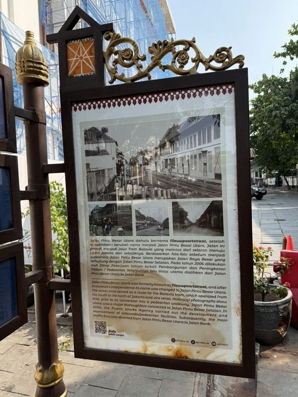
Jalan Pintu Besar Utara
June 18, 2026
1. Jalan Pintu Besar Utara Marker

this page online
Erected by Unit Pengelola Kawasan Kota Tua.
Topics. This historical marker is listed in these topic lists: Colonial Era • Roads & Vehicles. A significant historical year for this entry is 2006.
Location. 6° 8.185′ S, 106° 48.788′ E. Marker is in West Jakarta, Daerah Khusus Ibukota Jakarta, in Kota Jakarta Barat. It is in Kota Tua. It is on Jalan Pintu Besar Utara, on the left when traveling north. Touch for map. Marker is at or near this postal address: Jl Pintu Besar Utara No.5, West Jakarta, Daerah Khusus Ibukota Jakarta 11110, Indonesia. Touch for directions.

Regionally, it is in Asia, specifically in Southeast Asia, in the Malay Archipelago, in the Indian Ocean, on the Bay of Bengal, in the Pacific Ocean, and on the Pacific Rim.
Other nearby markers. At least 6 other markers are within 23 kilometers of this marker, measured as the crow flies: Museum Sejarah Jakarta (about 90 meters away, measured in a direct line); Lapangan Fatahillah / Fatahillah Square (about 150 meters away in Jakarta); Toko Merah (about 210 meters away);
June 18, 2026
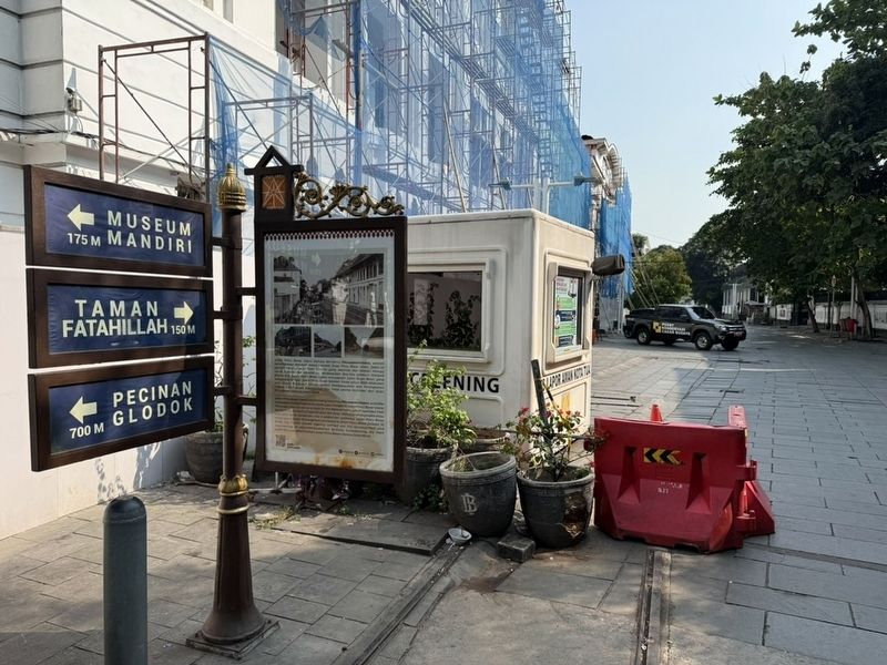
2. Jalan Pintu Besar Utara Marker
Credits. This page was last revised on September 11, 2026. It was originally submitted on September 10, 2026. This page has been viewed 10 times since then. Photos: 1, 2. submitted on September 10, 2026. • Andrew Ruppenstein was the editor who published this page.
